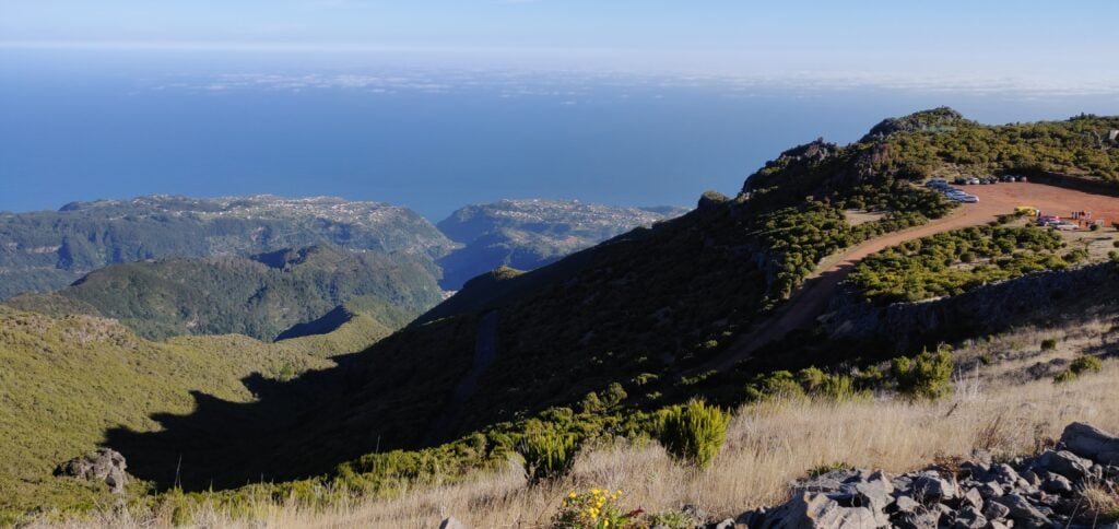
Enthused by a fairly easy 18 points yesterday on Pico Ruivo and Pico do Arieiro, I aimed to do two one-point hills today, but Penha de Aguia is a much more difficult hill, and so I only had time (and energy!) to do this one. This replan while walking meant that I accidentally ended up sending a SOTAWatch alert for the wrong reference. For the avoidance of doubt, I was on CT3/MI-011, not MI-010. I did send the right reference with the QSOs.
Pico Penha de Aguia (CT3/MI-011)
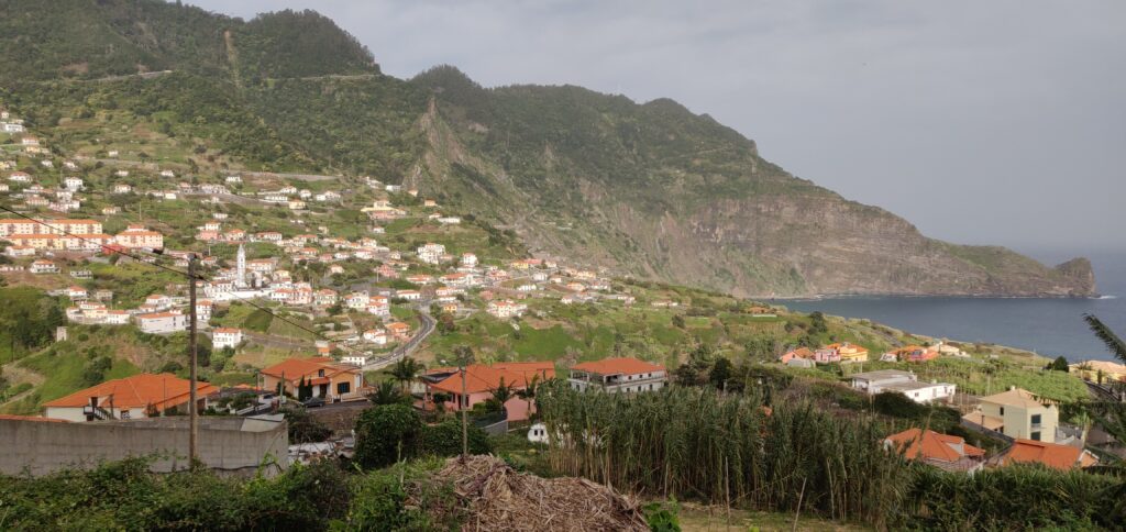
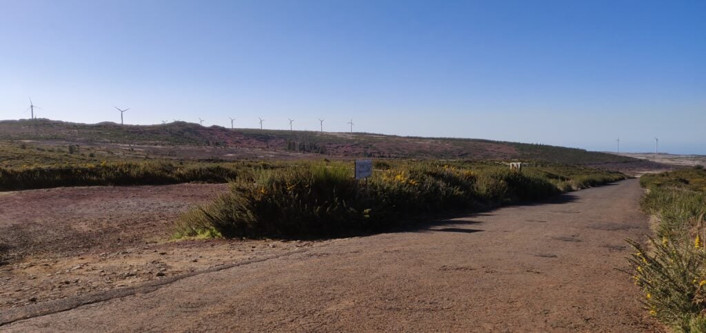
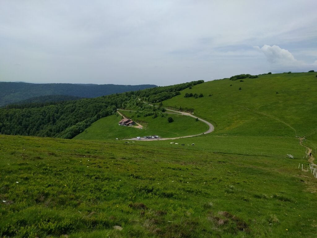
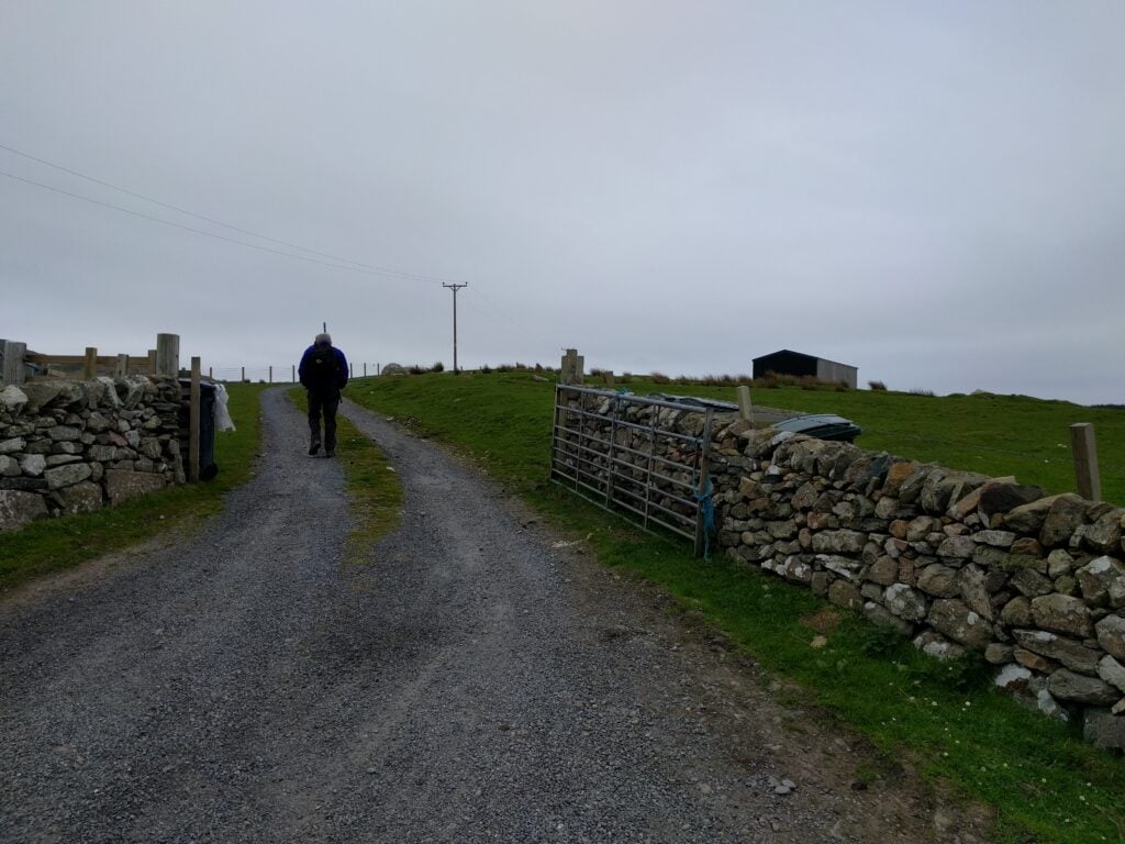
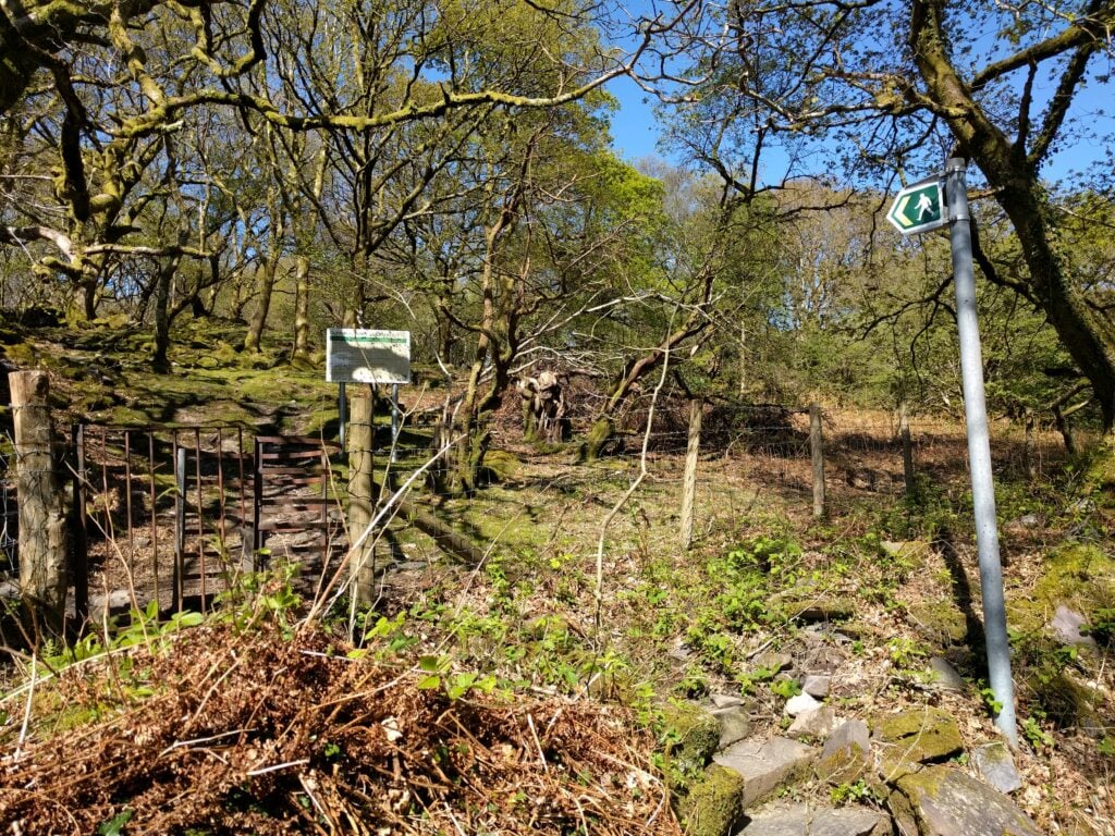
The start of the walk is at the café at Aguia de Baixo, just outside Faial (32.7888N, 16.8473W). There’s no particular parking here but there are a few opportunities to park at the side of the road. The start of the path is literally along the café’s side wall, even if it feels as though you are going into a private back garden. On the ascent, I was unsure about this so I went a little further up the road to take the ‘agricultural road’, which is a slightly longer way around but also brings you out onto the walking route.
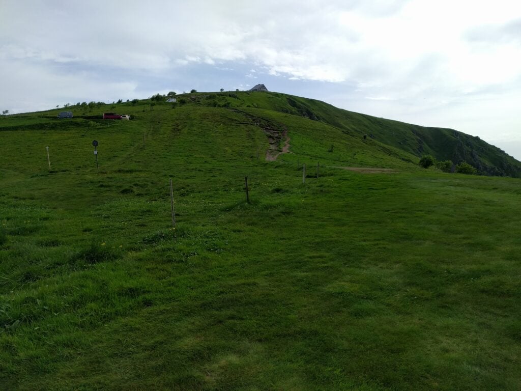
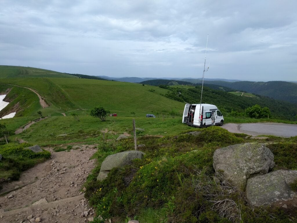
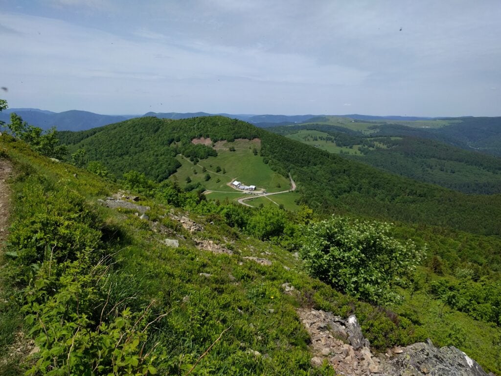
Faial from the start of the walk
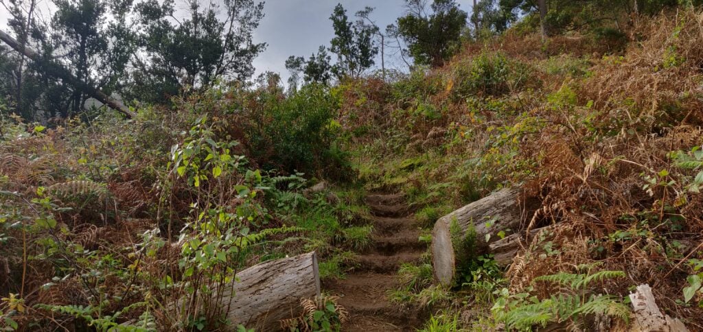
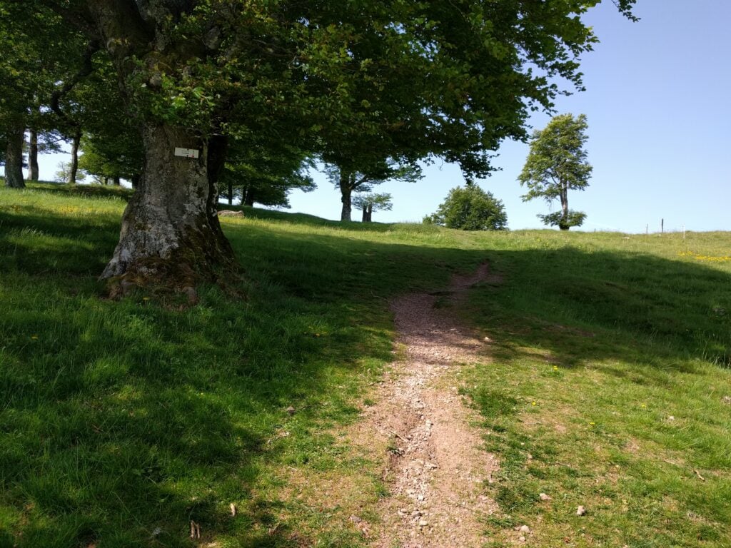
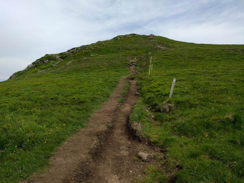
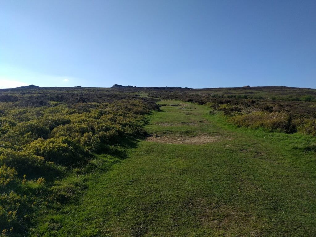
The path is defined but less obvious than the others I had encountered on Madeira. It’s just a thin path of dust and mud through the vegetation but at times it does have steps cut into it to assist on the steepest bits.
The steps cut in the earth path
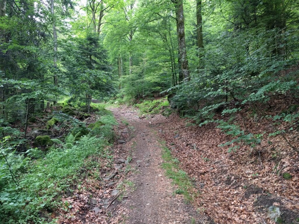
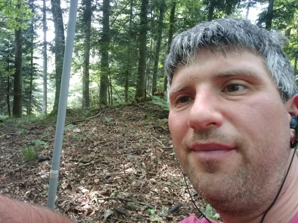
The path itself starts out in fairly open land, twisting along a cliff face (but there are no significant drops to worry about). It then enters woodland, and stays in the trees for the majority of the ascent. Even the top is entirely wooded. One of the more minor factors that made the walk hard work was that near the summit the path was completely carpeted in damp pine needles, making it incredibly slippery.
There were other major two factors that made the ascent so difficult. The first is the steepness. It’s a 2.3km distance for about 450m ascent. That’s a 20% average incline, with parts between 50-60%, especially near the top. Again, it wasn’t impossible and it wasn’t a scramble at any point but I certainly needed my walking pole on the way down.
The other issue was the wind. From about 400m elevation, there was an incessant strong wind coming from the coast, with a few stronger gusts in it. On the most exposed bits of path, where the trees give way to a ledge, I had to time my crossing of the ledge a little carefully.
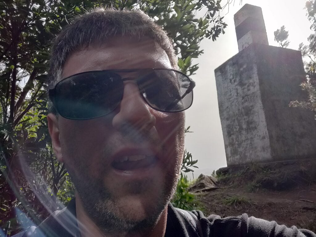
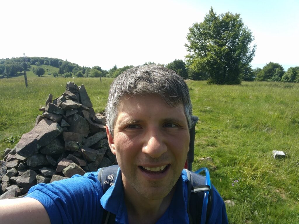
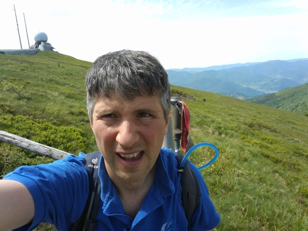
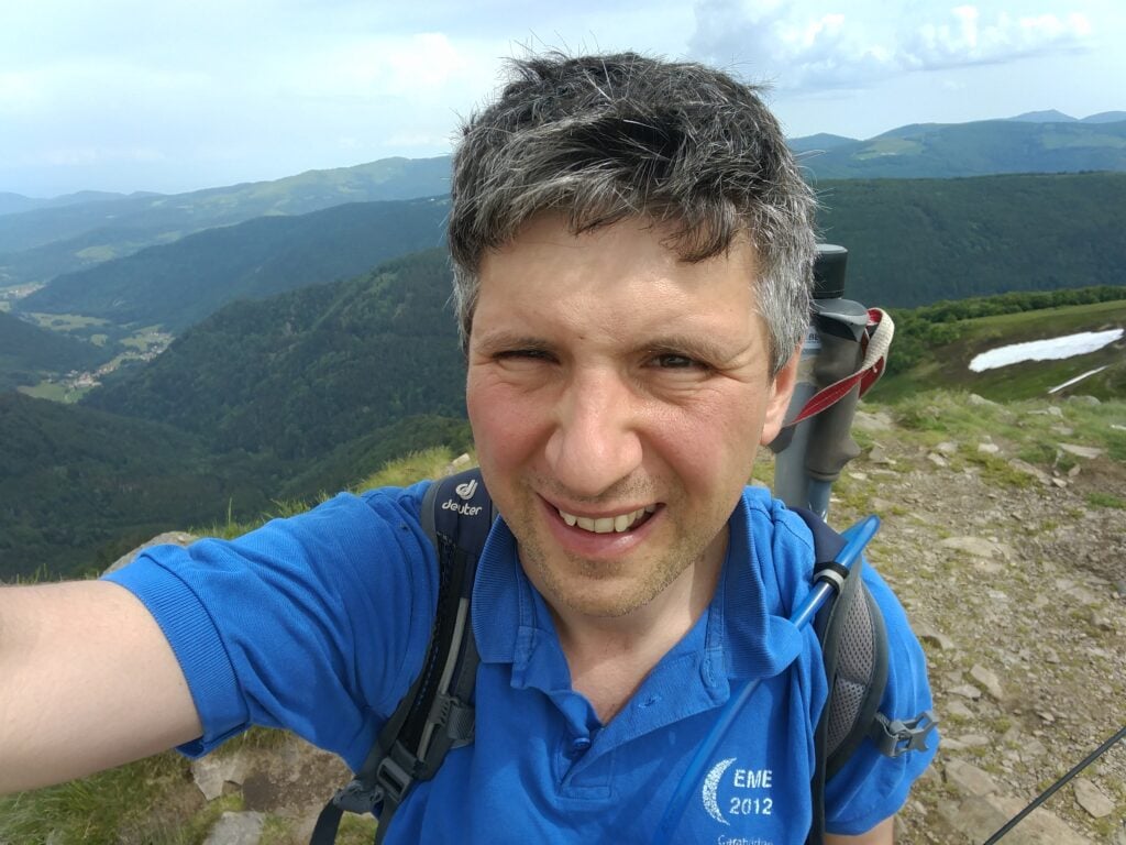
On top of Penha de Aguia
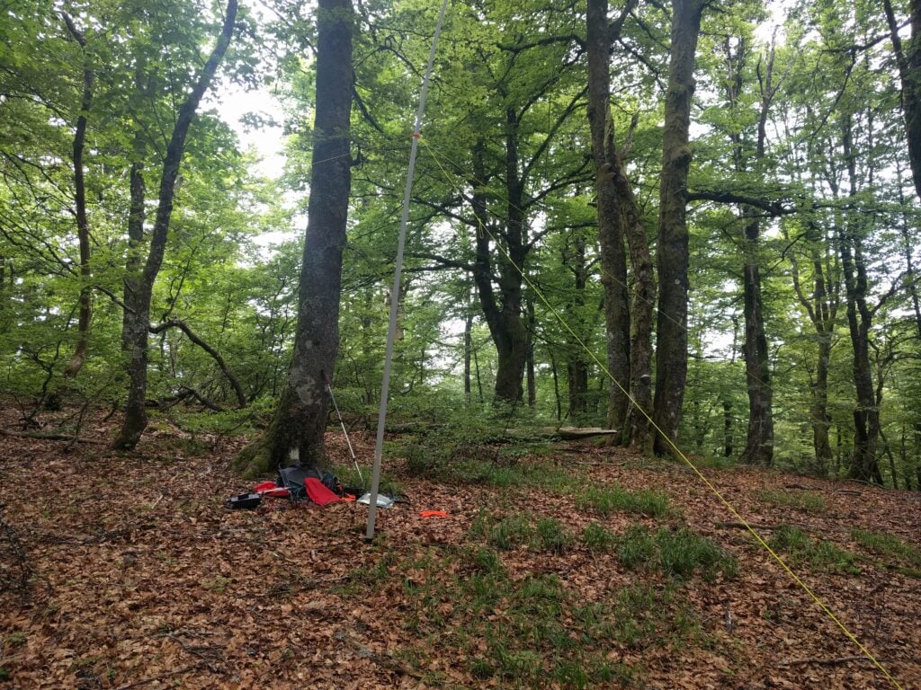
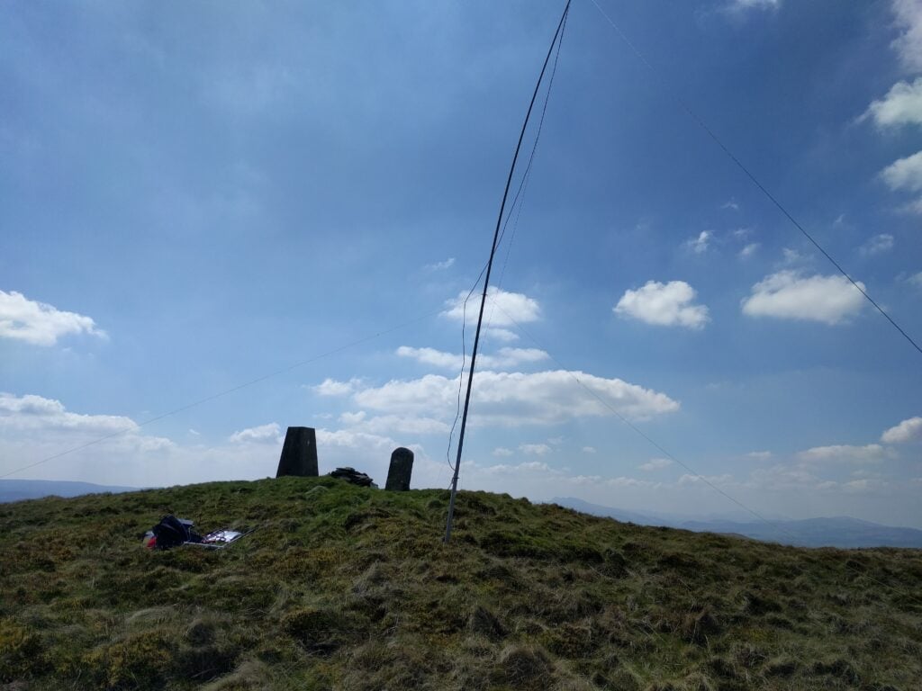
Once at the summit, I was able to bungee my SOTA pole to an olive tree and take out the dipole legs along the length of the path. There’s not a lot of room but it worked. I made 10 QSOs around Europe and didn’t stay any longer as I could hear some trees below me crashing down as they fell in the wind.
The ascent took 70 minutes and the descent about 50 minutes. Having done this one, I certainly felt justified claiming the 29 points for the trip! Be aware that the GPS track below isn’t completely accurate as I kept losing GPS lock in the trees.
Loading map…Scroll or tap to load the interactive map
Continuing my SOTA trip to Madeira, and following on from yesterday’s activations of Pico Ruivo do Paul and Pico Chao dos Terreiros, today I did two of the larger summits on the island.
Pico Ruivo (CT3/MI-001)
The highest point on the island, Pico Ruivo (not to be confused with Pico Ruivo do Paul, which I climbed yesterday) is a ten-point summit, which is easily accessed. Unfortunately, this also makes it very popular with visitors, and coaches from hotels drop off their passengers for the walk, so you are strongly advised to start this one early.
The starting point at Teixeira is about 50 minutes’ drive from Funchal, along some very twisty mountain roads. There’s nothing really at Teixeira, which is also the end of the road, except a large carpark.
The car park at Teixeira, seen from the start of the walk
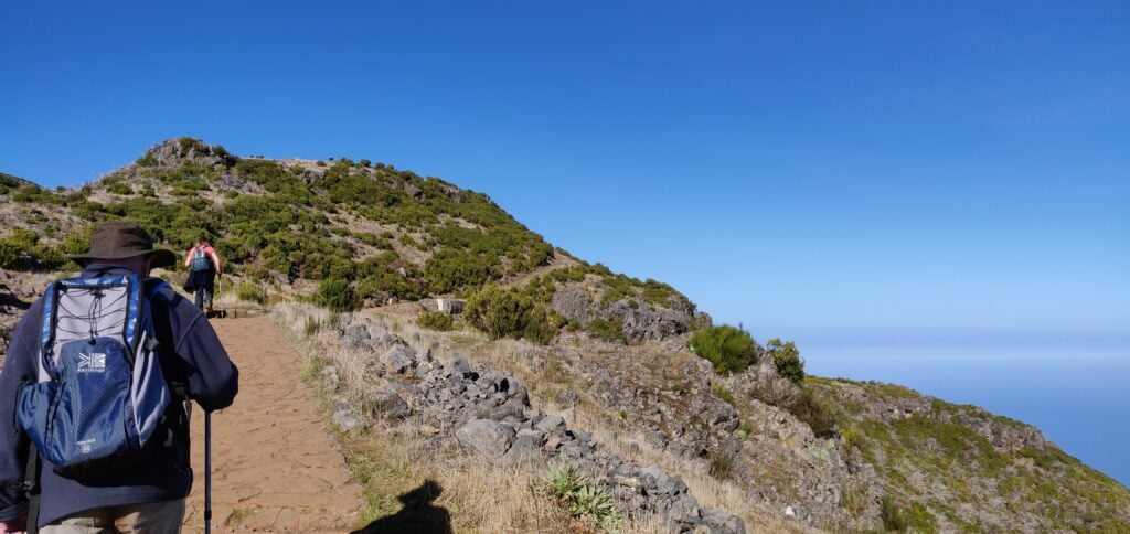
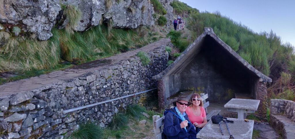
From there a wide, paved path hugs a ridge with some spectacular views for the 3.3km journey each way to the summit. Along the path there are three small stone shelters, which could be useful in the foggy conditions that can apparently occur in the area, but which I think are more likely to be used as picnic benches. One slight surprise on the walk was that in a couple places we encountered ice, even though it was about 15C and sunny. Clearly it can get very cold by night.
The wide, paved, path leads as far as the Casa do AbrigoMy parents at one of the small stone shelters
Just under 500m before the end of the walk (which has hitherto been fairly flat), there’s a more substantial ‘Casa do Abrigo’ (Shelter House) with toilets and a café. This also marks the start of the slightly steeper climb to the top. It’s not a difficult climb but it’s about 100m of ascent for the 450m of distance on a dusty path that twists up the mountain side. As I say, this is a fairly easy 10 points, and it was easy enough for my parents (who aren’t in the best of health) to make it to the Casa do Abrigo with me, before I continued to the summit alone.
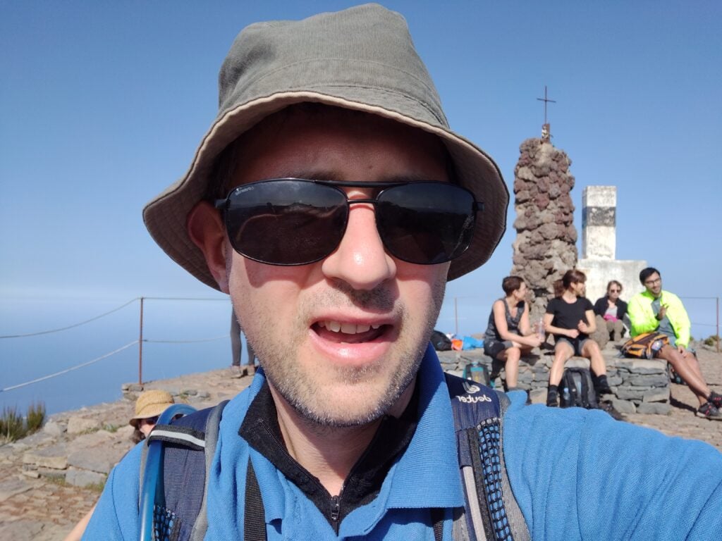
At the summit, there’s not a huge amount of space and it’s made more difficult by the number of people there. On the other hand, the mountain does have a double-peak: the main one with the trig point and another viewpoint, which is still easily in the activation zone. Since it was quieter there, I set up at the viewpoint, leaving everyone else to take photos at the trig point in peace. The available space didn’t allow me to stretch out the dipole legs fully but I did the best I good, having again been able to bungee my SOTA pole to the fencing at the top.
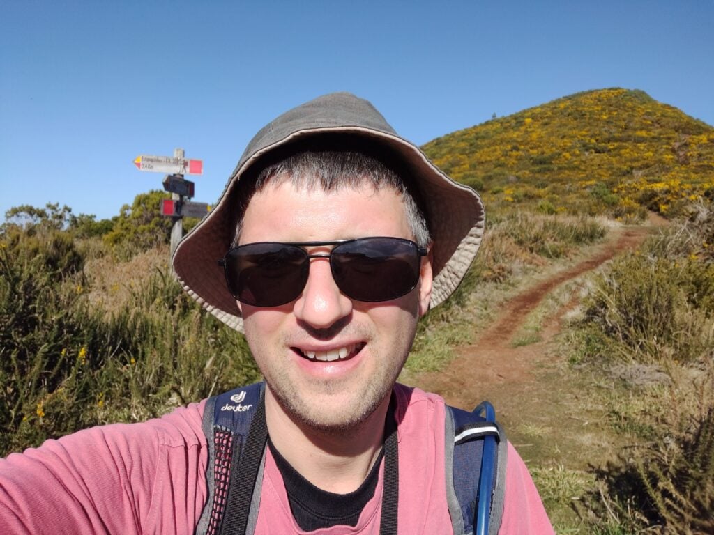
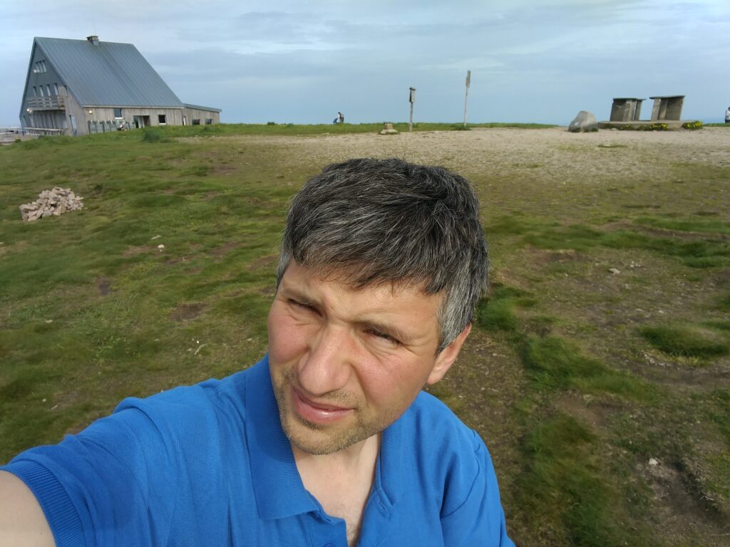
Selfie on top of Pico Ruivo
I didn’t spend too long up here but managed five QSOs including, incredibly given the aerial’s haphazard installation and the fact it was still morning, one American. It was also nice to make a QSO with G4OBK, whose writeups of these hills had formed the basis of my own trip. In fact, I contacted Phil four times on the trip, just missing him on Pico Ruivo do Paul.
The ascent for this one took about 90 minutes (allowing for my slightly slower parents), and the descent took an hour. We started the walk at about 09:30, about an 90 minutes after sunrise, and I wouldn’t have wanted to leave it any later given how busy the carpark was by the time we returned.
Loading map…Scroll or tap to load the interactive map
Distance
—
Elevation gain
—
Elevation loss
—
Max elevation
—
Waypoints
—
Elevation profile
Pico do Arieiro (CT3/MI-004)
It’s possible to walk from Pico Ruivo to Arieiro on a 6.7km path, which also takes you beneath the summit of the currently unactivated Pico des Torres. I, however, went for the easier option of driving between the peaks. It’s a long way around, however, taking nearly an hour on some fairly twisty roads.
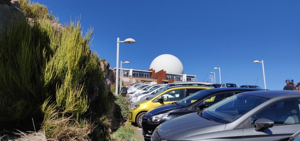
Once you’re there, however, Arieiro is possibly the easiest 8 points ever. It’s the site of a large military raydome, and so not only has an access road to the summit but it also has a large carpark and café. Despite the substantial carpark, however, it was running out of space by the time we arrived in the early afternoon.
The carpark at Pico do Arieiro
The summit itself is located behind the café, and there’s a few steps up to a trig point, near where the path from Pico Ruivo joins. There’s really not that much else to say about it. Since the actual platform with the trig point was busy, I found a spot just off the carpark but within the activation zone to operate from, and managed 9 QSOs including five Americans. It was also good to speak to Martin G3ZAY at the G6UW shack (where I often operate from) – he had also found me from GB2IWM at the Imperial War Museum, Duxford, when I was on Ruivo this morning.
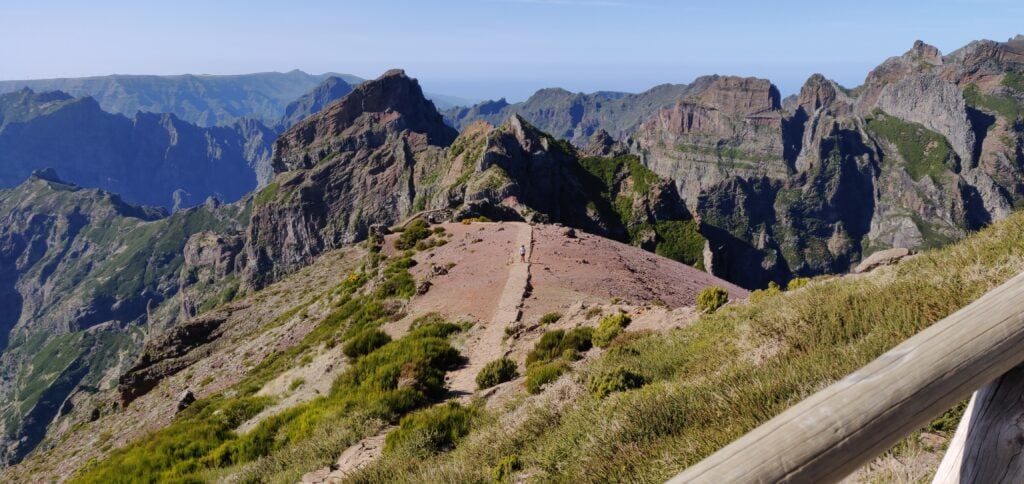
The view from the trig point at Pico do Arieiro, including the path back to Pico Ruivo
Not a bad day for earning 18 points all-in-all, but I’d have to pay for it with a cruel 1-pointer tomorrow!
Last week I spent some time on a family holiday in Madeira, during which I also spent three days in the hills doing SOTA activations.
The first thing to know about Madeira from a radio perspective is that although the DXCC prefix is CT3, that prefix is reserved for residents. The prefix authorised for CEPT visitors is CT9.
Pico Ruivo do Paul (CT3/MI-006)
The six-point Pico Ruivo do Paul is about 45 minutes drive from Funchal, along fairly quiet roads. I parked our hire car at the parking space off the road at 32.7699N, 17.0782W. Nobody else was around, as this isn’t the most frequented area of the island.
The carpark at the bottom of Pico Ruivo do Paul
From the carpark, the walk is a fairly simple matter of following the obvious path, which starts on the opposite side of the road, up to the summit. The ascent took me 40 minutes (partly as I had to wait for my parents, who are somewhat older) and about 20 minutes down. The path is almost exactly a kilometre in length for 130m ascent, the steepest bit coming just before the summit, but at no point is it hard. On the top, there’s a fairly large area of flat ground where you can set up, which has wooden fencing around it – perfect for attaching a SOTA pole with bungees!
I set up on 20m CW and fairly quickly had made 7 QSOs, enough to qualify the hill.
Me with Pico Ruivo do Paul in the background
This was a lovely start to the activation, and a fairly enjoyable easy hill.
Loading map…Scroll or tap to load the interactive map
Distance
—
Elevation gain
—
Elevation loss
—
Max elevation
—
Waypoints
—
Elevation profile
Pico Chao dos Terreiros (CT3/MI-008)
Update February 2020: I returned to this hill a year after writing this post and a lot had changed. At Boca de Corrida, the path had a chain and padlock across it and there were no indications as to whether only vehicle movement is restricted, or whether pedestrians should keep out too. The latest satellite imagery shows that the clearance I witnessed in 2019 had been extended and there is now a maze of paths in place of the old track. Given this exploitation, I decided to head north on the steep, paved path signposted to Encumeada. OpenStreetMap indicated that this would be a useful diversion, and that it is possible to turn left at around 32.7253N, 16.9938W along a track to bring you back towards Terreiros. I couldn’t see the track at this location however – I suspect it has become overgrown. With my parents in tow and nowhere else to leave them, I abandoned my trip in 2020. I suspect next time, I’d approach from Fontes, to the west, even though the route is longer and steeper. Anyway, back to 2019…
On the map, Terreiros (4 points) is not far from Pico Ruivo do Paul but the geography of the island means it’s a pretty decent drive between the two places. To make the most of the day, we drove from Pico Ruivo do Paul to the ‘skywalk’ at Cabo Girão (a glass platform overhanging the cliff), where we had lunch at the café, before heading up to Terreiros. A tip for anyone following our route: use the toilets at the café before eating – the €0.50 you pay for the toilets can be discounted against your café order. Not knowing this, we did everything in the wrong order.
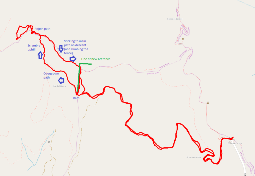
The drive to Terreiros from Cabo Girão looks really bad on the map but it’s actually fine and my TomTom got us there fine. The path starts from the end of the road at Boca da Corrida, where there’s a small car park and chapel (32.7110N, 16.9869W). At least on the map, the path is, again, obvious and wide and twists its way around the hill over the course of about 2.7km. The ascent is about 200m. It was easy enough for my parents to do with me for the first about three quarters of the walk. One note on my map indicated the path was overgrown and impassable. That was definitely not the case and in fact there were people working clearing trees on the hillside above us. And then I had a problem. At the barn at 32.7139N, 16.9970W the path divides and it isn’t clear what you are meant to do. The track continues up a steep hill, with a newly made fence on your left, but when you get to the top, you realise you need to be on the other side of the very tall (maybe 6ft) chicken wire fence. But there’s no major path from the barn on the other side of the fence. Yes, the fence has been built right across the path. It had taken me 40 minutes to get this far, and I wasn’t proposing to give up, so I left my parents somewhere safe and set out to find my own path, keeping the new fence on my right. This was a mistake. It involved fighting through some very overgrown plants, and then scrambling up a steep grassy bank with plenty of opportunity to lose your footing. It was really hard work. After maybe 15 minutes of this, I eventually came out to the path I should have been on, and continued to the summit.
The fence newly-erected across the pathThe GPS track caused by negotiating the new fence
The activation zone of Terreiros is nice and large and, again, this isn’t a well-frequented hill, so it was nice and quiet. The view is also spectacular. I made 10 QSOs from here, including two Americans which was a nice surprise for 10W into a simple linked dipole.
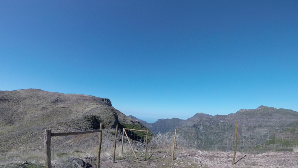
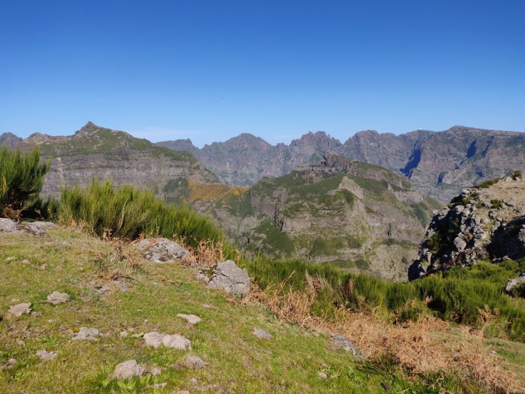
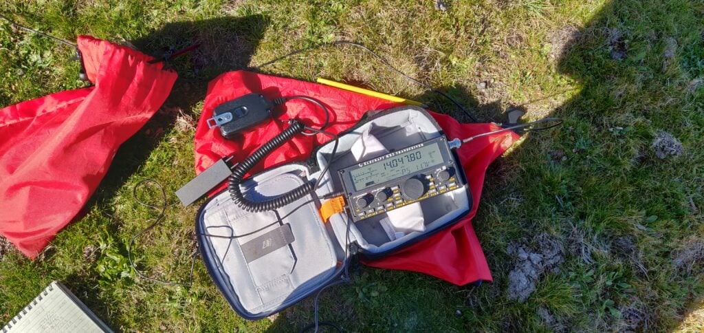
The view from Pico Chao dos Terreiros, looking towards the hills I did the following dayMy Elecraft KX2 on Pico Chao dos Terreiros
On the way back, I stuck to the path and managed to climb over the fence, rather than taking the ‘cross country’ route I had used on the ascent. This turned out to be much better. The descent, including recovering my parents from where I had left them, took just about 35 minutes.
Loading map…Scroll or tap to load the interactive map
Distance
—
Elevation gain
—
Elevation loss
—
Max elevation
—
Waypoints
—
Elevation profile
One word about the journey back to Funchal – G4OBK has mentioned how useless his TomTom was on Madeira. I didn’t have as many problems as he seemed to have but the journey back was an exception, with it continually insisting I needed to take very minor one-way streets down steep hills that were about the same width as the car. No damage was done, but it wasn’t the easiest driving.
As a result of the very hot weather we had during June and July, I haven’t been doing much SOTAing for the last few weeks but now the weather is somewhat cooler, I took the opportunity of the Bank Holiday weekend to travel to the Peak District to get a few more points.
Kinder Scout G/SP-001
The highest point in the Peak District (or, Southern Pennines, as SOTA puts it), Kinder Scout is also famous as the site of the Kinder Scout Trespass of 1932, which led to modern land access legislation in England. The summit is a 4-point summit for SOTA.
I followed the trespass route from Bowden Bridge, just outside Hayfield, heading east to reach the Kinder plateau.
The Bowden Bridge pay and display carpark was full when I arrived, but there’s plenty of roadside parking along the verge towards Hayfield. Leaving the car, cross the bridge over the stream at SK 0487 8692, and continue on the tarmac to Tunstead House. At a house called ‘Kinderstones’, take the gravelled track straight ahead, leading to Tunstead Clough Farm, where the path veers right around the farm buildings. At the back of the farm, around SK 0546 8671, the path becomes a more rugged track, leading to some fields.
The back of Tunstead Clough Farm, where the road becomes a track
Keep walking straight ahead, crossing the fields at the obvious gateways in the fences to SK 0646 8663, where you come out onto open moorland at the foot of Kinderlow End, a rocky outcrop that marks the edge of the Kinder plateau.
Keep walking through fields to the obvious gateways
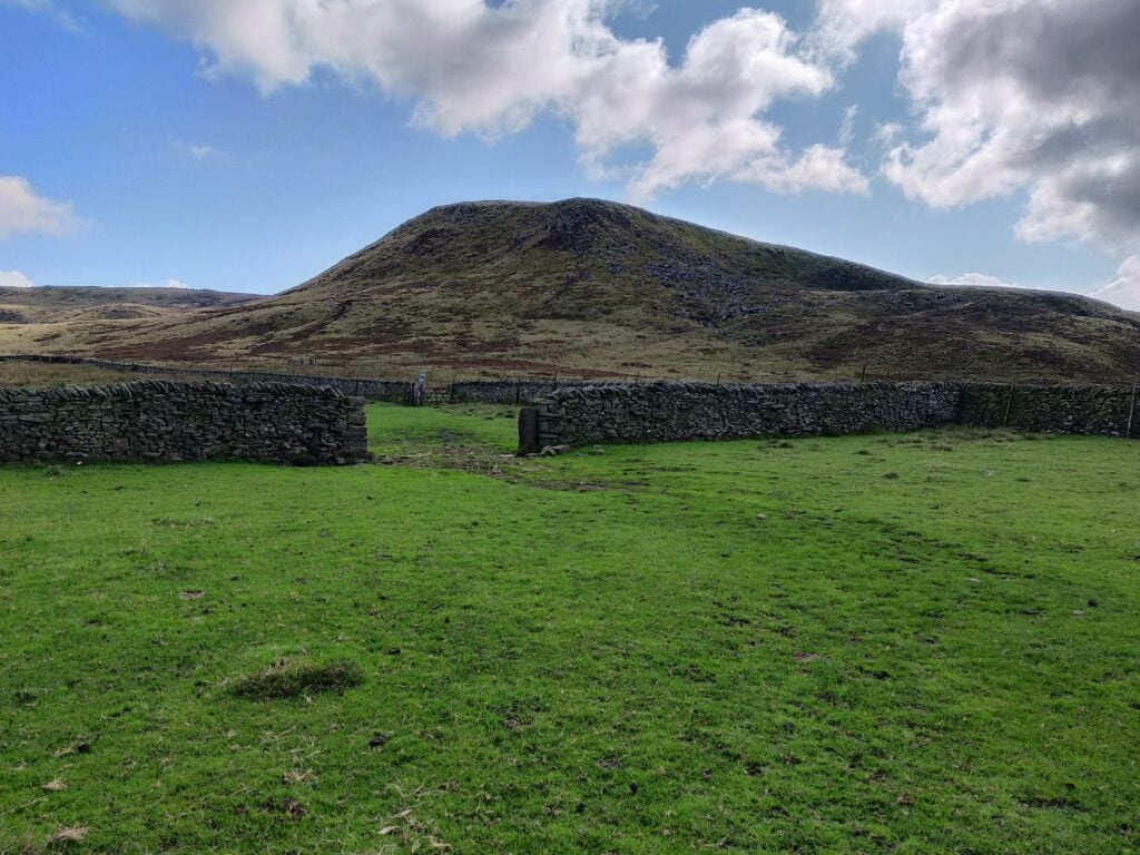
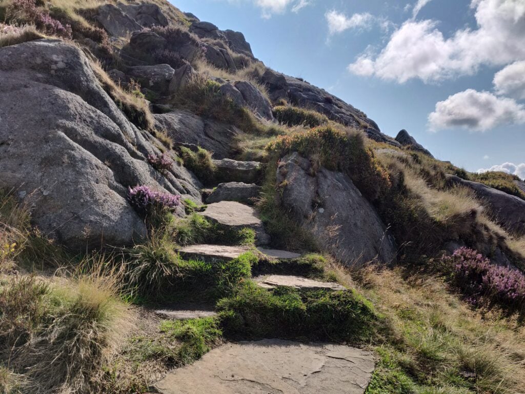
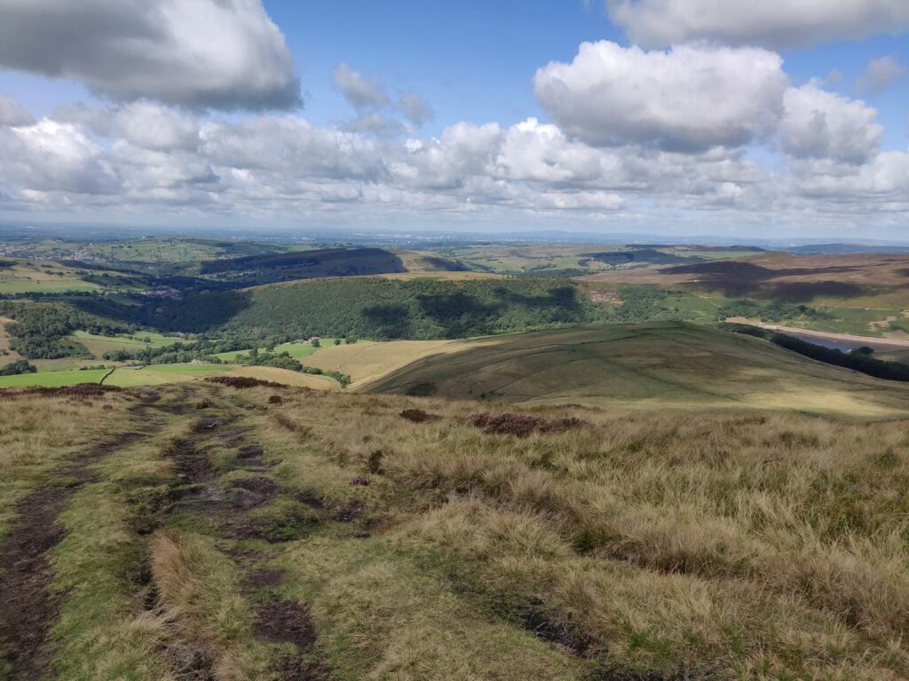
I missed it at first, but straight ahead of you, heading almost directly up the hill, is a set of steps that take you up the face of Kinderlow End. When you get to the top, looking behind you, there’s a spectacular view looking across the countryside towards Manchester in the distance.
The stone path heading up Kinderlow EndThe view from Kinder Low, looking towards Manchester
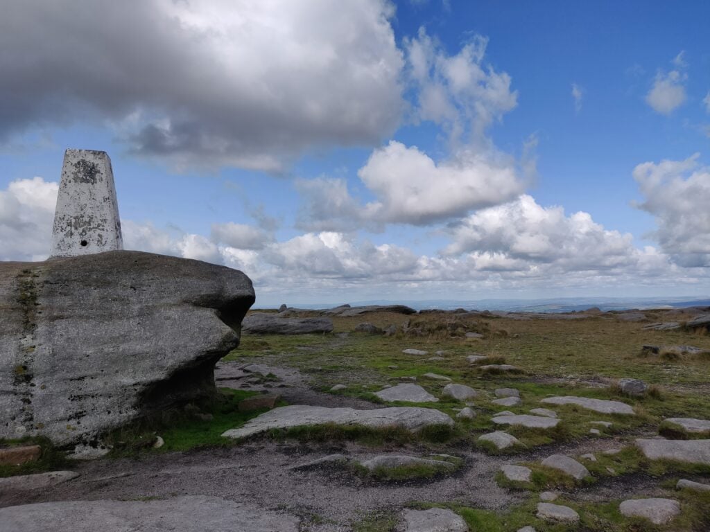
There’s a well-made stone path heading across the plateau (even though it isn’t obvious from the 2015 OS map), and you soon reach the cairns and trig point at Kinder Low, once believed to be the highest point (633m). It is now known that a point about 700m to the north-east is slightly higher at 636m, although there is no marker there. From a SOTA perspective, it doesn’t really matter as the majority of the plateau counts as the activation zone.
The trig point at Kinder Low
Note that Kinder Scout can get busy, so it’s worth heading out off the main paths to set up. Watch for the bogs and be careful of navigation up here. The flat top all looks similar and every time I have been up here, I have (to a greater or lesser extent) ended up heading in the wrong direction.
The ascent (410m vertically over 3.7km) took me about 90 minutes, and about 60m for the descent.
Shining Tor (G/SP-004)
About 40 minutes’ drive south-west of Kinder Scout is Shining Tor, an easy 2-point summit.
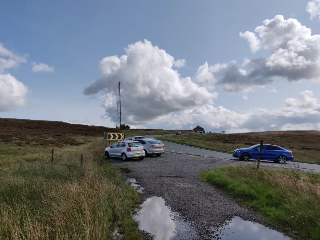
The route starts from SJ 9999 7213, just off the A537. There’s parking in various laybys around the Cat & Fiddle Pub, and in fact I was able to park at the start of the path itself.
The layby at the start of the path
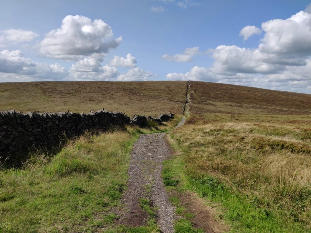
The path is well-made and obvious, with just two turns: a right at SJ 9984 7233 and a left at SK 0007 7315. If you get those two waypoints right, you’ll find yourself at the summit quite quickly.
The well-made path heading up to Shining Tor
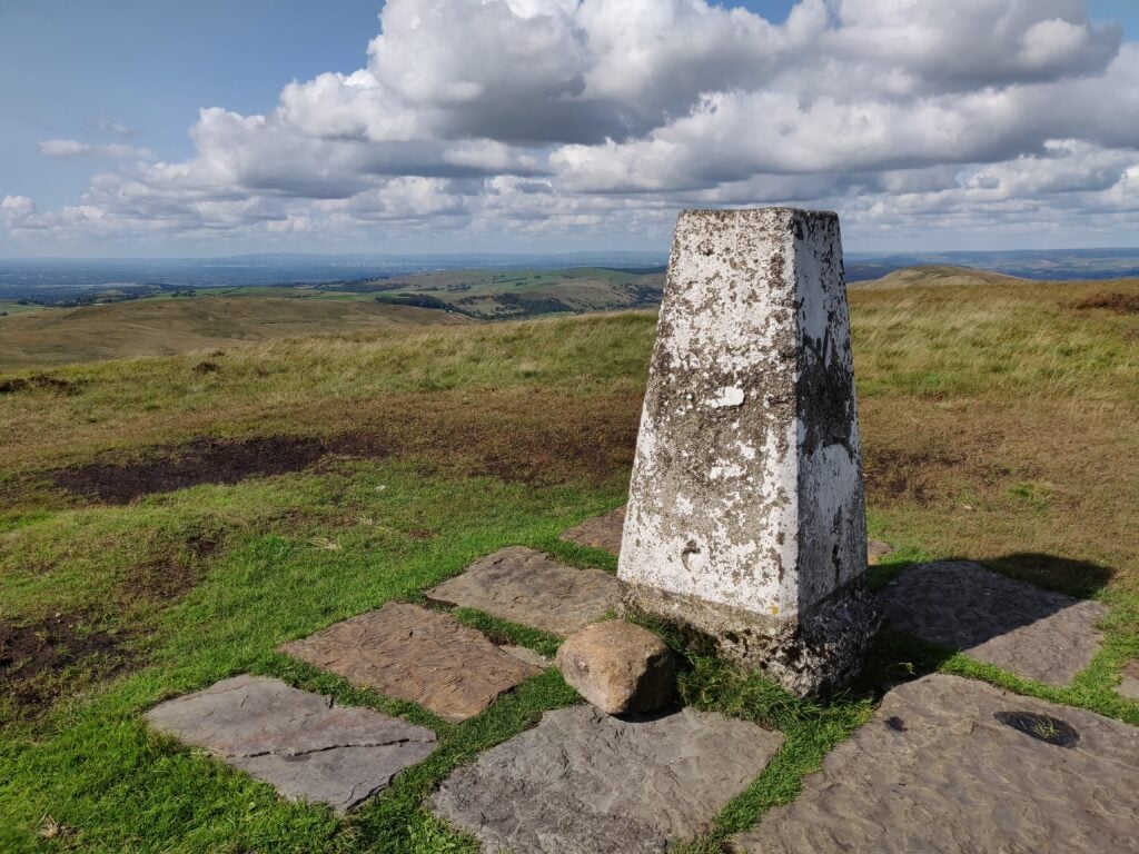
There’s a trig point at the summit and a nice stone wall next to the trig point, which affords some protection from the wind for operating from.
Trig point at Shining Tor
The ascent took me about 35 minutes. It’s only a 75m climb over about 2km, so a nice quick and easy location to activate.
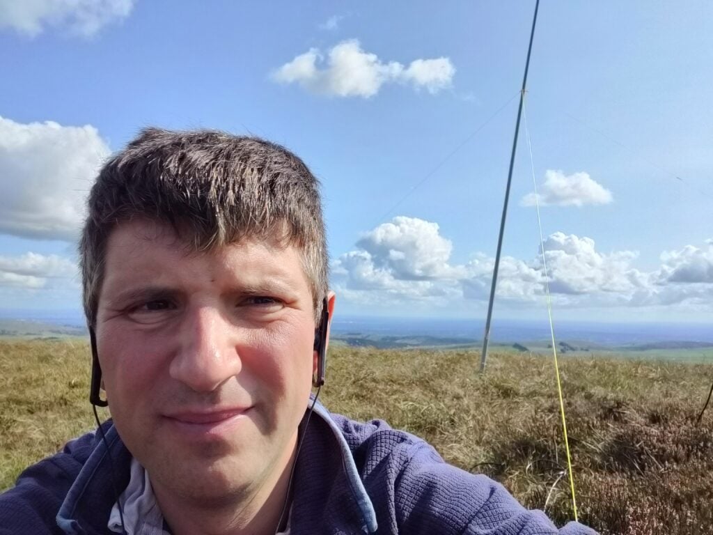
As with Kinder Scout, I made all my contacts on 30m CW and I had more than sufficient QSOs for the activation within about 15 minutes.
Operating with my new 30m/20m linked dipole on the fibreglass pole
With 80 SOTA points in the bag from Saturday and Sunday, by Bank Holiday Monday it was looking likely that 100 points in a weekend might be achievable.
We stayed the night t the Hotel L’Ermitage in Ventron, since this is right at the start of the path up the Haut de Rouge Gazon, the first hill for today.
FL/VO-018 Haut de Rouge Gazon
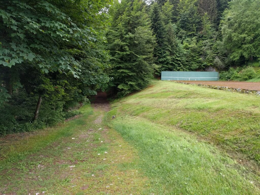
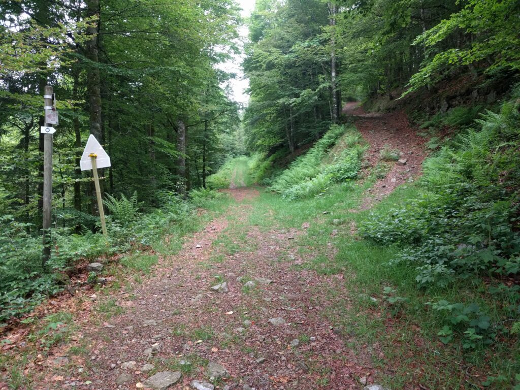
There are multiple paths up the Haut de Rouge Gazon, but at the hotel, all of the paths start from next to the tennis court. From there, you can follow either the red outlined circle signs (the ‘Route panoramique’), or the blue outlined circles. The red circles form the cross-country skiing route in the winter, and therefore the path is wider and less steep, though consequently less direct. The blue circles are suitable for walking and cut off some of the hair-pin bends, thereby making them slightly steeper but more direct. It took me a little while to work this out, so on the ascent I did a mixture of the two routes (taking 50mins) and on the descent I stuck to the blue circles (taking 40 minutes).
The start of the path up the Haut de Rouge Gazon, next to the tennis courtThe choice of paths up Rouge Gazon
Edit May 2019: Having just done the same walk the following year, there’s an omission at this point: Following the outlined blue circles up the hill, you’ll come out at a wooden three-dimensional wooden cross artwork. From here, turn right, following the outlined red circles along the wide path that’s flat along the top of the hill.
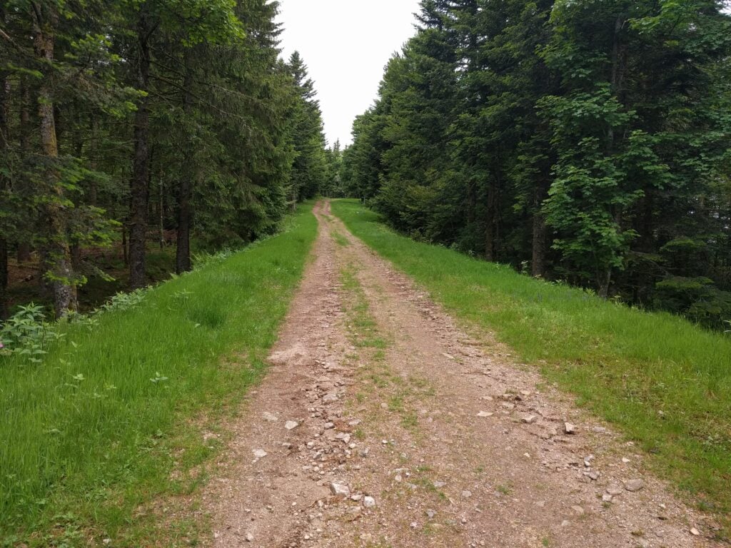
Either way, you eventually come out beside the top of the ski-lifts, where the paths turn away from the summit. At this point, quickly cut through the trees to join the wide ski-run towards the highest point. It’s a very pleasant walk, with a climb of about 120m ascent over 4.2km, making it the longest walk of the trip.
Walking along the ski run on Haut de Rouge Gazon
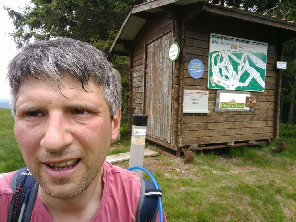
Once at the summit, and at this time of year with the skiing closed, there’s masses of space to set up and I quickly made 8 QSOs to qualify the summit on 30m CW.
Me on the summit of Haut de Rouge Gazon
Loading map…Scroll or tap to load the interactive map
Distance
—
Elevation gain
—
Elevation loss
—
Max elevation
—
Waypoints
—
Elevation profile
FL/VO-087 Haut de Brampas
And so, with 90 points for the weekend to-date, it was time to hit number 100. The path to the Haut de Brampas starts from the Col du Page, about 10 minutes’ drive from L’Ermitage Saint Joseph. As with yesterday’s hills, this is a forest walk and, again, I struggled to maintain a GPS lock, meaning that the trace below is somewhat inaccurate.
The path is wide, and obvious but, as with yesterday’s ones, it does avoid the summit, so at some point you have to cut through the trees and find your own way to the highest point. This is easy enough on the way up, but on the way down, navigating solely on paper map and compass, I took a slightly wrong turn and ended up heading in the right direction but without loosing height, meaning that I didn’t find the path for some time. Consequently, although it only took 15 minutes to get up the hill, I took 20 minutes coming back down. In terms of steepness, it’s about a 140m ascent over 1.6km.
The path up the Haut de Brampas
There’s very little else to say about this hill. It’s another, fairly boring, bit of forest, but with the addition of a load of flies, making operating uncomfortable. Sending CW cleanly while swatting flies with your other hand takes some practice!
I managed just 6 QSOs from here before packing up, having reached my goal of 100 points in the weekend.
Loading map…Scroll or tap to load the interactive map
Distance
—
Elevation gain
—
Elevation loss
—
Max elevation
—
Waypoints
—
Elevation profile
FL/VO-095 Kuppelthannkopf
Those 100 points, however, took me to an all-time SOTA score of 495, short of half-goat status by only 5 points. Luckily, there’s an easy-to-reach 8 point hill just outside Thann on the way back towards Basel airport. It’s about 40 minutes’ drive from the Col du Page, and starts from the carpark on the Col du Hundsruck.
Again, there’s not too much to say about this route. You start on the main marked footpath heading behind the hill from the Col (initially losing height) and then, around 47.8047N, 7.04984E, you take the forest logging tracks that zig-zag up the mountain to the summit. It took me 30 minutes to climb the 120m ascent over 1.6km, and about 20 minutes to come back down. The ground is rather loose in places, so I found my hiking pole useful, but it’s not a difficult climb.
Me on the summit of Kuppelthannkopf
13 QSOs, including 3 S2S QSOs, took me past the magic 500 points mark but, as with the Haut de Brampas, the flies swarming around me slightly marred the celebrations!
Loading map…Scroll or tap to load the interactive map
After a restful night, it was time to get up early for the second day of my attempt to get 100 SOTA points in a Bank Holiday weekend in the Vosges. Today would involve a bit more walking than yesterday.
FL/VO-002 Le Hohneck
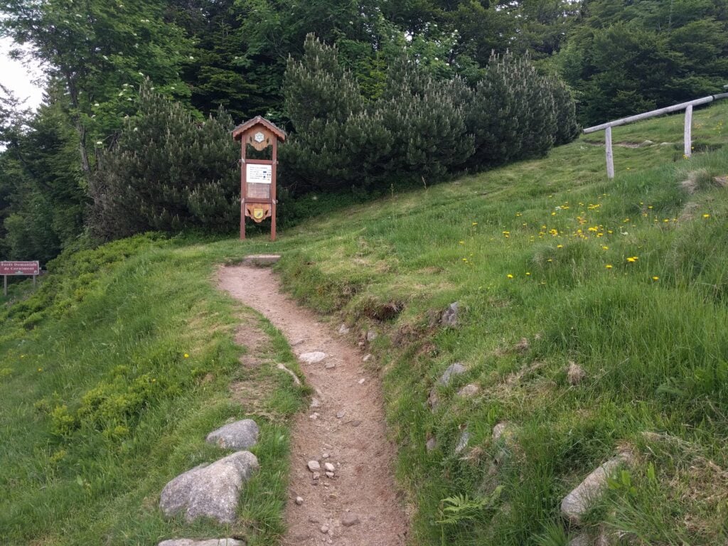
Le Hohneck, about 15 minutes’ drive from La Bresse, is potentially a very easy summit as it has a carpark and restaurant at the top. I fall into the set of SOTA activators who view that as cheating, however; much like taking the train up Snowdon. Instead, therefore, I took the only slightly more energetic option of a 15 minute walk up 100 metres over a 1km, on the path that runs beside the road.
The path up Hohneck
This is a really easy path and it’s well-trodden. The only thing to be aware of is that the electric fence wire surrounding one of the fields has been routed over the top of a turnstile gate (above head height) near the start of the path, which could be a surprise if you had a metal antenna on your backpack!
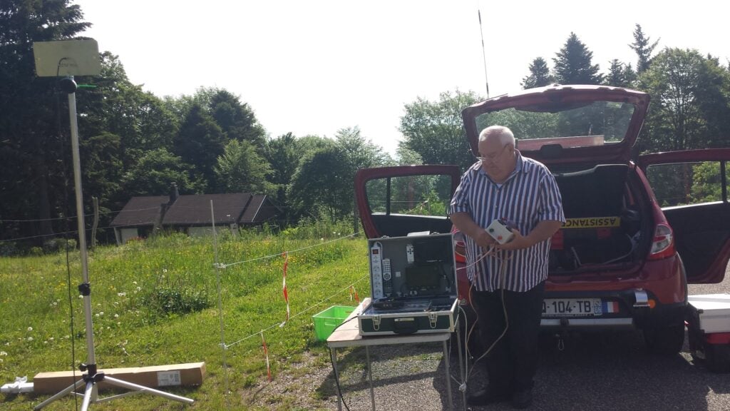
Halfway up, I spotted a van which seemed to be doing communications for a local race of some description, but I didn’t stop to find out the background.
Half-way up Hohneck… It looks like a twin for the Camb-Hams’ Flossie is up here!Me on Hohneck
Despite my early start, it was clear that Hohneck is a popular place. I didn’t feel my dipole was in the way at this stage of the morning, but any later and it might have been more problematic. I quickly made 9 QSOs and packed up to head to the next hill.
Loading map…Scroll or tap to load the interactive map
Distance
—
Elevation gain
—
Elevation loss
—
Max elevation
—
Waypoints
—
Elevation profile
FL/VO-084 Ronde-Tête
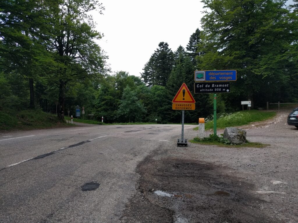
The Col de Bramont is about 15 minutes’ drive from Hohneck and it is a useful starting point for activations of Ronde Tête on one side of the road and L’Altenberg on the other. Both hills are similar, in that they are walks through forest on signed paths for the majority of the walk, before you have to leave the path to head through the trees into the activation zone. In both cases, I wouldn’t recommend doing the walks in ice or after heave rainfall, as the ground is mainly leaf-mulch which will become quite slippery.
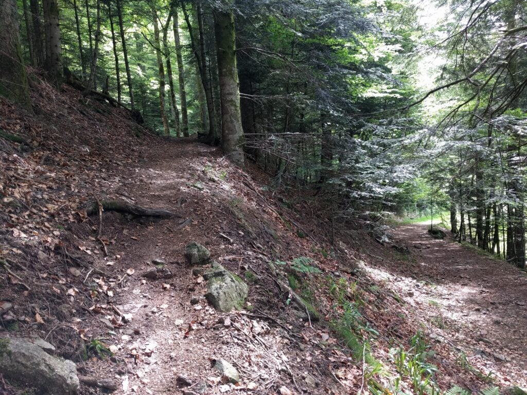
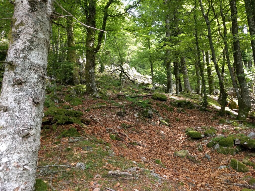
The walk up Ronde Tête is probably the marginally easier of the two walks. The path is mainly fairly wide and it’s clearly marked. The only thing to watch for is to ensure you take the route doubling back on yourself at 47.9995N, 6.9496E, rather that continuing in the same direction. Having done that, it’s just a matter of following the path through the forest to the sign marked Panoramic view of Wildenstein, situated near 47.9979N, 6.9611E, where you leave the path and head up the slope. Again, you need to watch your footing a bit here, as the leaves are deep in places and stones are covered in moss, so it would be easy to slip in wetter conditions.
Carpark at Col de Bramont
Path up Ronde Tête
Approaching the summit, you have to leave the path and pick your way through the trees to the top
My equipment set up on Ronde Tête
The walk took me about 1 hour to climb the hill and about 30 minutes back down (as I spent some time picking my way up the slope on the ascent), with about a 190m ascent over about a 2km walk. Once at the top, I made 6 QSOs on 30m CW before descending.
Loading map…Scroll or tap to load the interactive map
Distance
—
Elevation gain
—
Elevation loss
—
Max elevation
—
Waypoints
—
Elevation profile
FL/VO-012 L’Altenberg
Returning to the road, in the opposite direction, is the similar climb up L’Altenberg. As with Ronde Tête, I’d certainly recommend taking a map and compass with you for this one, as my GPS struggled to maintain lock under the tree canopy. The relevant IGN 1:25,000 walking map is 3619OT.
The climb up L’Altenberg is similar but slightly more challenging. The paths are narrower with steeper drops off the sides in places if you were to stumble. Walking alongside the Altenberg for a lot of the route, you wonder how you can climb some a steep slope, but keep heading south on the path to around 47.99105N, 6.94698E and there’s a less steep area, which is easier to ascend.
Path up L’AltenbergThe path through the forest to L’Altenberg
The climb took about 45 minutes (and 30 minutes down) for about 145m ascent over about 2km of walk. Again, I just made 6 QSOs before heading back down the path.
Me on L’Altenberg
Loading map…Scroll or tap to load the interactive map
Distance
—
Elevation gain
—
Elevation loss
—
Max elevation
—
Waypoints
—
Elevation profile
FL/VO-010 Le Grand Ventron
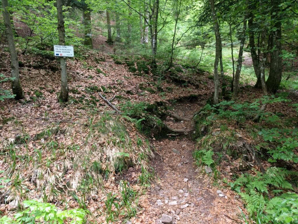
The last summit of the day, again a 10-pointer, was Le Grand Ventron. It can be accessed by continuing the path from L’Altenberg (though this is quite a substantial hike), or by taking the easier option of driving to the Auberge, from which it’s basically a quick step along a field edge to the summit.
The ascent to Grand Ventron
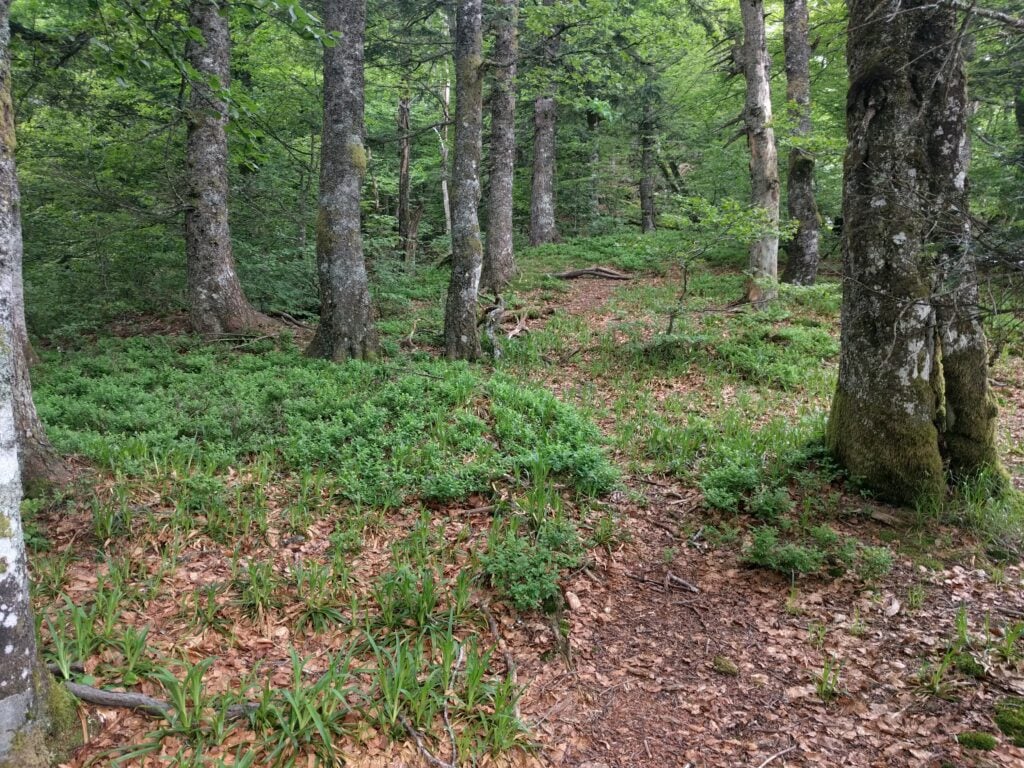
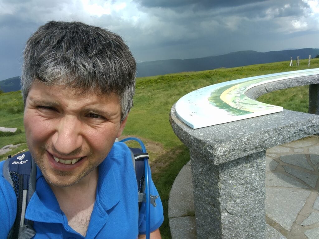
There really isn’t that much more to say about this walk. It’s literally 10 minutes’ walking, and not very steep, ascending just 150m over about 0.5km (most of which is done in the immediate climb up from the road). At the summit, there’s a chart showing all the nearby peaks and even on a muggy afternoon with a storm brewing, it was still quite popular. Luckily, the activation zone is quite large as the summit has a flat top, so I set up just a bit away from the highest point to make 8 QSOs, again on 30m CW.
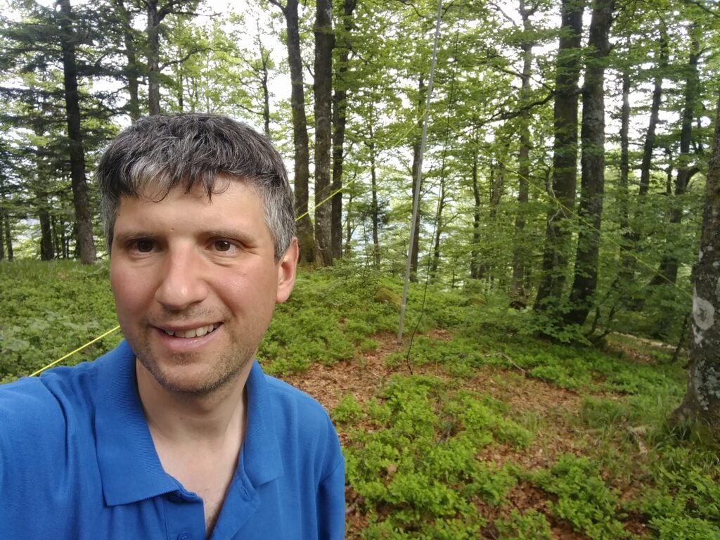
Me on Grand Ventron (with a storm brewing behind)
Loading map…Scroll or tap to load the interactive map
Distance
—
Elevation gain
—
Elevation loss
—
Max elevation
—
Waypoints
—
Elevation profile
With 80 points so far this weekend, can I complete my 100 point challenge tomorrow?
Before I post about the hills I’ve been climbing this weekend, I should probably explain why I’ve come to the Vosges, a very beautiful hilly area in Eastern France.
As you are probably aware if you’re reading this page, I participate in Summits on the Air (SOTA), an amateur radio award scheme for making contacts from summits. SOTA has a de-centralised administration model: so that a single team doesn’t have to classify hills globally, different ‘Associations’ administer the rules in their area, with that area often being a country or politically-recognised region.
Generally, for a hill or mountain to count for SOTA, it has to have at least 150 metres of distinguishable drop (‘prominence’) from the summit point, such that rolling hillocks don’t count. This is the so-called P150 rule. But some Associations are in flatter areas, that wouldn’t have many qualifying P150 summits, and so those Associations may opt to adopt an alternative P100 (100 metres of prominence) rule instead.
France is an interesting case in this regard, because the large mountain ranges (the Alps, Massif Central and Pyrenees) are all in the South and East, and so there’s a second Association (‘France – Low’), which is a P100 Association covering the North and West of the country. Due to the way the boundary between France and France – Low was drawn, the Vosges has ended up in France – Low, resulting in loads of easy 10-point P100 summits in a smaller area.
Bear in mind that if you travel to other Associations, your earned points accumulate towards your score in your home Association. By travelling from England (A P150 Association) to France – Low (A P100 Association), therefore, any summits I activate here will count towards my English score, even though they are easier.
When I first spotted the Vosges anomaly on the map, I had to come here in a Bank Holiday weekend to see whether I could achieve what I thought was possible: 100 SOTA points in one long weekend. That would be almost impossible to achieve at home.
I’ve come in late May not only because it’s a Bank Holiday but because many mountain roads in the area are closed in the winter by snow, so it needs good weather to attempt this challenge!
Getting here
I flew from London Heathrow to Basel Euroairport, which is actually on the French-Swiss border between St Louis (Mulhouse, France) and Basel, arriving on Friday evening. I hired a car from Avis via their tie-up with BA. If you try this too, it’s worth being aware that BA’s website can’t cope with the fact there are two Avis desks in two different countries in a single airport and so you get allocated the desk on the Swiss side of the airport. That’s fine but a recent EU customs rule apparently means that there are significant customs charges to take a Swiss-registered rental car into the EU, so you need to put in a special request for an EU-registered car. It sounds bureaucratic, but it worked fine for me, and just after 11pm we had a car. Because of the time, we stayed in the very nice surroundings of the Airport Hotel Basel, and then drove into France the following morning.
FL/FL-017 Molkenrain
My plan was to tackle four hills today, all of which are 10 points for SOTA. Le Molkenrain is the nearest to Basel, about 45 minutes of easy motorway driving from the border, and then just some twisty mountain roads for the last bit.
On arriving at the carpark, we found a local F4 station setting up some ATV equipment, aiming to get cross-band pictures on 13cm and 23cm to a repeater in Germany.
ATV from the carpark at Molkenrain
The walk itself is easy, and took just over a quarter of an hour. It’s only about a 125m vertical ascent over about 1km horizontal and I reached the summit at about 10:30. The path starts on the road, walking past the auberge (where public toilets are available), then cuts on a gently upwards path along the field boundary to the walker’s refuge. At the refuge, you turn right and follow the obvious path to the cairn.
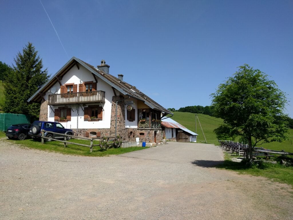
Molkenrain Auberge
I set up on 30m CW and easily made 8 QSOs within ten minutes. A quick pack-up, and I was back at the car by 11:15.
Molkenrain summit
Loading map…Scroll or tap to load the interactive map
Distance
—
Elevation gain
—
Elevation loss
—
Max elevation
—
Waypoints
—
Elevation profile
FL/VO-001 Le Grand Ballon
The Grand Ballon is about 30 minute’s drive from Molkenrain. It is a very busy site, with numerous restaurants in the carpark below the summit and, today, a lot of motorbikers using it. You certainly had to be alert when driving the hairpin bends, in case of a motorbike in the middle of the road around the corner.
There’s building work taking place in the carpark at the moment, meaning that the start of the path was a bit hidden but I followed the sign to ‘Sommet Gr. BALLON par G.R.‘ (Summit via the walking route). The path is short, only taking about 20 minutes to climb the about 70m vertically from the carpark, over about 0.65km. The views over the surrounding hills are quite spectacular, and half-way up you get a nice view towards the Storkenkopf – the next hill on the route.
The Storkenkopf, seen from the ascent of Grand Ballon
On top of the Grand Ballon, turn left towards the cairns, rather than towards the golf ball. The cairns area is sadly a fenced square, with no access beyond the fence. On a busy day like today, there were lots of families taking photos within that fenced area, and so this made operating a little difficult.
With some Sporadic E around, I chose to try 6m first as it needs less dipole length than 30m, but although the RBN saw my calls, I didn’t get any replies sadly. I think everyone was on FT8.
While I was wondering what to do, the area became a little quieter, so I took the opportunity to move to 30m and made 6 QSOs. In total, I was on the summit for about an hour, taking me a little behind my planned schedule.
On the summit of Grand Ballon
Loading map…Scroll or tap to load the interactive map
Distance
—
Elevation gain
—
Elevation loss
—
Max elevation
—
Waypoints
—
Elevation profile
FL/VO-078 Storkenkopf
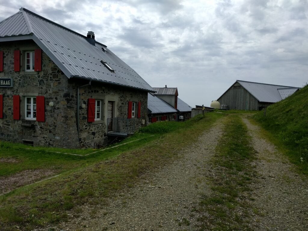
Storkenkopf is just around the corner from Le Grand Ballon. It would be easily walkable to go between the two, but since we would be driving past anyway, we parked at the Auberge de Haag at the bottom of the hill and I walked up from there.
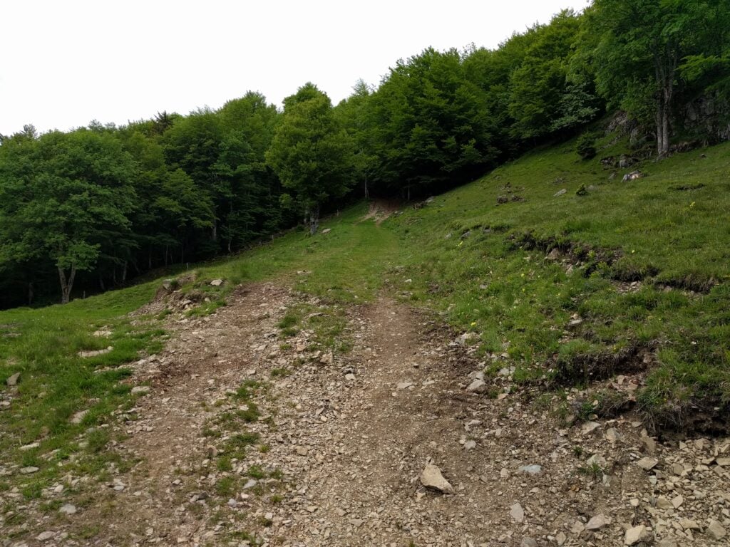
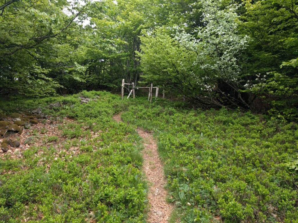
The path starts from behind the Auberge Haag, which is also a working farmPath heading into the forest, StorkenkopfThe small path approaching the summit on Storkenkopf
This is another fairly easy climb, starting from behind the farm and then you follow the marked path up the hill. When you come to a clearing in the forest, turn right and head to the far corner of the clearing, to pick up a smaller path to the summit. The journey up took me about 20 minutes, and the descent about 15 minutes. This hill is similar in steepness to Molkenrain, with 130m of ascent over a 1km.
This was a very good location for HF – much quieter than Grand Ballon – with plenty of space for my dipole. I managed 15 QSOs in 20 minutes from here.
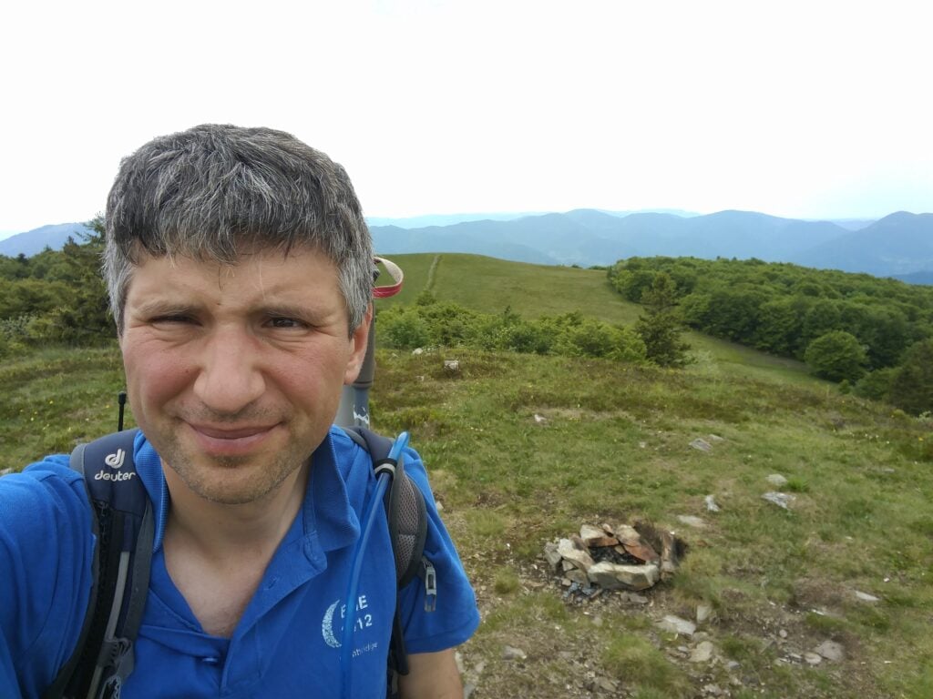
Me on the summit of Storkenkopf
Loading map…Scroll or tap to load the interactive map
Distance
—
Elevation gain
—
Elevation loss
—
Max elevation
—
Waypoints
—
Elevation profile
FL/VO-080 Rothenbachkopf
About 30 minutes’ drive North of Storkenkopf is Rothenbachkopf. This is another easy walk, with a nice footpath starting at a carpark by the road, from where it’s about a 20 minute climb, ascending 100m vertically on a well-made path over about 0.8km, with a few steps leading up to the summit.
The carpark and road from RothenbachkopfThe path to the summit, Rothenbachkopf
There’s sufficient flat ground around the summit to erect an HF antenna, and I quickly made the six QSOs I needed to qualify the activation, again all on 30m CW.
Me on Rothenbachkopf
Loading map…Scroll or tap to load the interactive map
Distance
—
Elevation gain
—
Elevation loss
—
Max elevation
—
Waypoints
—
Elevation profile
All-in-all, a successful start to my challenge, with 40 points amassed so far, from four very easy 10-pointers. We retired to the nearby town of La Bresse, where we stayed at the Ibis Hotel, before a slightly more strenuous day tomorrow…
During this week’s Camb-Hams DXpedition to Islay as GS3PYE/P, three of us (G4ERO, GW2HFR and I) went to Beinn Tart a’Mhill, one of Islay’s one-point SOTAs (GM/SI-185).
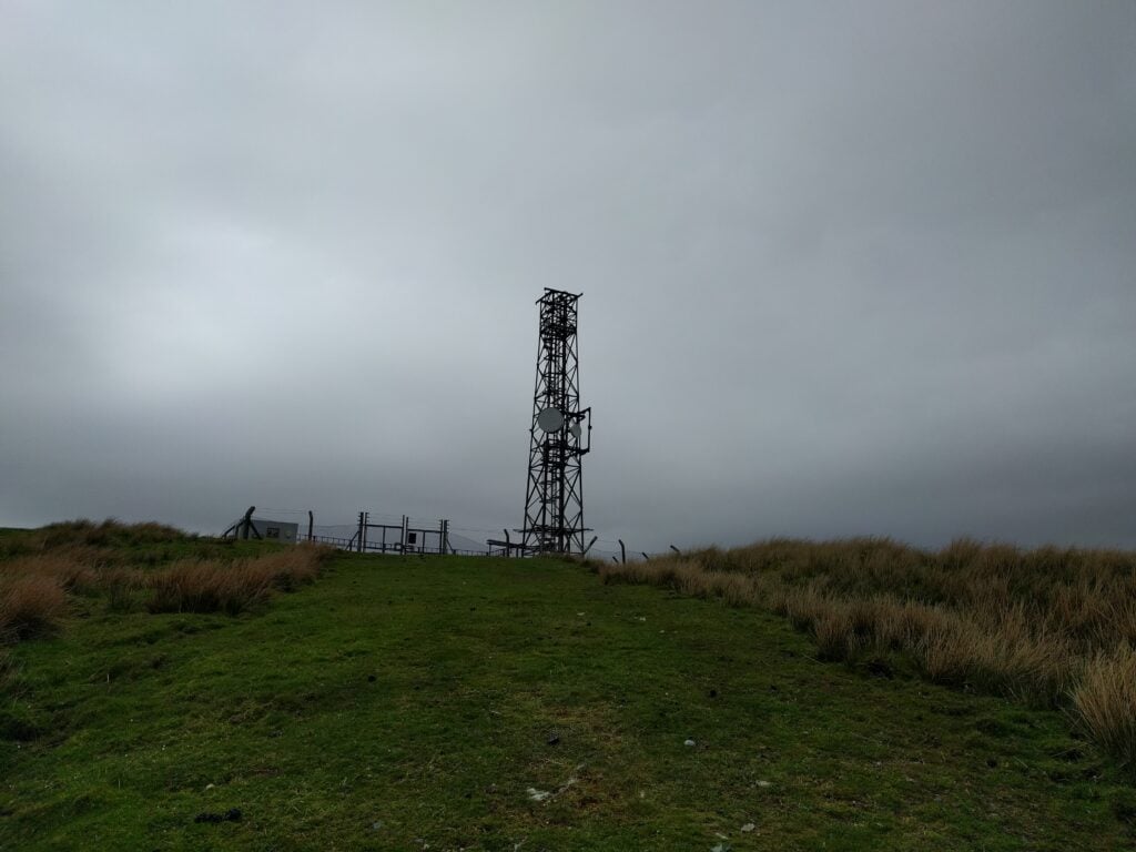
This is quite possibly also the easiest summit on the island, as it’s an ex-MOD transmitter site, with a nice path all the way to the top. Access is therefore quite easy. We parked at Kelsay farm (NGR NR 189 562, where there’s just space to pull a car in off the road, opposite the farm gates) then took the path into the farm as far as the ‘Private’ sign. From there, you can go over some slightly boggy grass to an adjacent path, which takes you to the transmitter site, past an old oil storage tank, presumably for the transmitter generator. The path gradually deteriorates from gravel to grass but there’s no navigation challenge.
Farm track at the start of the walkApproaching the transmitter site
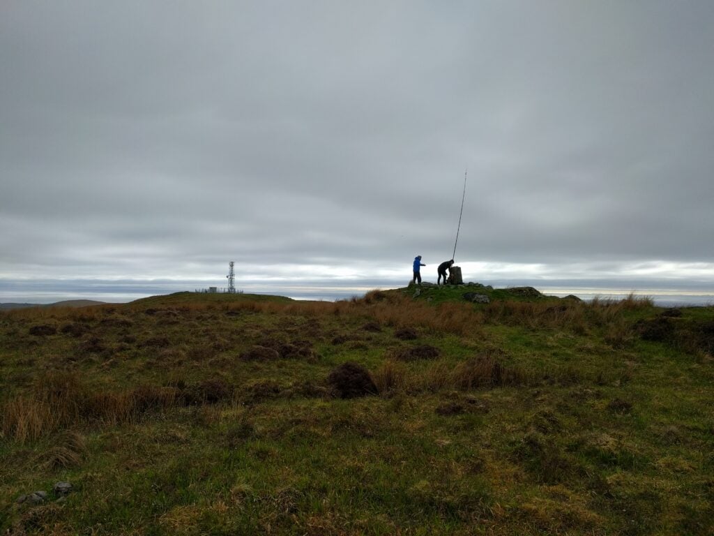
Once at the transmitter site, the trig point is just behind you on the slightly higher ‘other’ summit. It’s a five minute walk over the slightly boggy grass to reach this secondary summit. Once there, there’s plenty of space for antennas.
While G4ERO and GW2HFR concentrated on a slightly unsuccessful attempt on 80m, followed by a more profitable go on 20m, I set up on 30m CW and quickly managed 3 QSOs, and then something happened. Calling for the next 30 minutes, I couldn’t raise anyone for my fourth QSO, and there was nothing on 2m either, even though Northern Ireland was on the horizon. I swapped to 40m, still into the 30m dipole, and managed an SSB QSO there to complete the required four.
G4ERO and GW2HFR at the trig point
The path to the transmitter is about 3.5km each way, with a 200m ascent. It took about 40 minutes to climb, and about 35 minutes back down.
After yesterday’s exertion, I woke with a very stiff leg and, first thing in the morning, I even found myself hobbling up the slight incline to the campsite toilet block. Not a great sign for my original plans to walk up nearby Moel Siabod! Fortunately, I tend to make backup plans on my SOTA trips and this weekend was no exception, and I had lined up Foel Goch, a 4-point hill that looked somewhat easier, as a fallback. I decided to give it a go.
Foel Goch (GW/NW-039)
Foel Goch is a lovely hill and very convenient for those visiting North Wales from most of England, since it’s just a couple miles off the main A5 road. I parked at NGR SH 9642 4407, where the road is slightly wider due to a ford, but it later turned out that I could have continued further up the road to around SH 9637 4359, saving 50m or so of ascent.
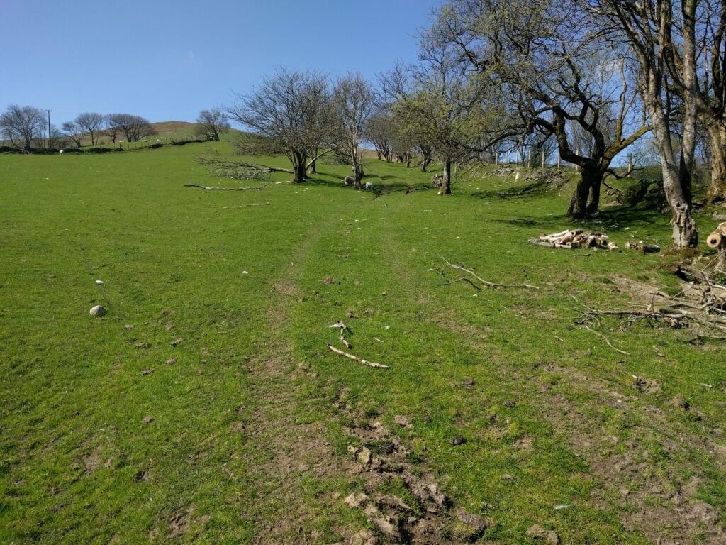
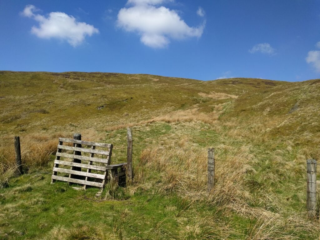
Navigation is easy. From the road, follow the obvious path up the hill along the field boundary to SH 9582 4290. The terrain here is over lovely lush grass, so it’s easy walking, although it does get a bit steep. At the top of the field, you take another path (which is mainly flat and somewhat muddy) around the edge of the summit to SH 9585 4241, so that you attack the final climb from the West side. That final climb is then a matter of picking the less-visible track that makes its way straight up over rougher moorland grass. It’s slightly steep but still perfectly do-able.
Start of the path up Foel GochApproaching Foel Goch summit
With my leg still a little painful, it took me 1 hour 30 to ascend and 50 minutes for the descent, so under normal fitness, I could have done it quicker.
This hill didn’t seem well-frequented, and there’s plenty of space on top next to the trig point, monument and cairn, all of which crowd the highest point. I initially started operating on 2m but struggled to raise anyone, so I instead switched to 30m CW and promptly made 8 QSOs.
Foel Goch summit
Pole Bank / Long Mynd (G/WB-005)
It was another gorgeous day, and I was feeling a bit better now that my leg had had some exercise, so I decided that I couldn’t head straight back to Cambridge immediately. Instead, I realised that I would be driving home close to the Welsh Borders SOTAs in Shropshire, commonly known as the ‘favourite 5‘, since the five hills are an efficient way to gain Winter Bonus points in that season. I opted to try two of the more westerly hills today, thereby still leaving the easterly ones for after October.
There isn’t much to say about Pole Bank. It’s a pretty boring place, and I didn’t even bother taking a photo there. You can drive to very close to the summit and then it’s barely an incline to reach the activation zone. There are gravelled wide paths with heather covering the rest of the ground. The only thing to be aware of is that the approach roads are quite narrow and, in places, have steep, un-barriered, drops around sharp bends. Somewhat counter-intuitively, on my last visit, in the ice in December, this hadn’t been a problem but today there were lots of people out, some of whom were clearly nervous in such circumstances, with short tailbacks forming up the hills.
On this trip, I parked at NGR SO 4265 9445, and operated from some clearer, off-path, land around SO 4171 9464. The walk took about 10 minutes each way. Eventually I made the required 4 QSOs on 30m CW — made especially difficult by the fact that the RBN was down (so no RBN tunnel to SOTA spots) and that I had no mobile signal on the hill to spot myself either. Once the contacts had been made, however, I packed up to head to Stiperstones. It was late afternoon by now, but Stiperstones is only five miles away, so I resolved to continue anyway.
Stiperstones (G/WB-003)
Heading up Stiperstones
It actually took nearly 20 minutes to drive to Stiperstones, again on small country roads. Back in December, I hadn’t been able to take my car to the large (free) car park at the Stiperstones Nature Reserve due to slipping back on the snow and ice, so I had had to walk further uphill, but there were no such issues today.
From the carpark, you follow the wide grass path up the hill to the clearly-visible stone mounds at the top. The activation zone surrounds Manstone Rock, the middle outcrop.
It was approaching 6pm by now and I needed to get back to Cambridge, so to speed the activation, I started by calling on 2m. No response, so it was time to return to my workhorse band of 30m, even though I knew that propagation would be dying. The RBN was still down, but I was able to make a SOTA spot from my phone this time, and I managed two QSOs on 30m but nothing more, and signals were weak. With no other HF gear, I took the risk of running a bit lower power on 40m into the 30m dipole. This wasn’t easy due to a contest, but one more station did come back to me there, but I couldn’t get anyone else. I was even begging friends in Cambridge for contacts by this point as I couldn’t face leaving without the fourth contact, but I struggled to hear any of them. Finally I made out a callsign, went to respond, and the radio died. There was insufficient power left in my LiFePo battery that was running the IC-706. (This isn’t a state you want to get into, as LiFePos don’t like being discharged that much. Luckily it seems no damage was done.)
I had no option but to return to 2m and call while packing the HF gear, hoping that someone would give me that last contact. Half an hour later, at 18:45, G4VRX (and 3-year old daughter Holly in the background) replied to me and saved the activation. Phew!
The early May Bank Holiday weekend this year has seen some unseasonably stunning weather, so it seemed a pity not to head to the hills and get a few more SOTA points.
Moel Eilio (GW/NW-022)
Moel Eilio is a 6-point hill in the shadow of Snowdon. Most people who operate from here do so by parking at the quarry and then taking the short walk up the hill from there. Somewhat foolishly, as it turned out, I decided that parking places would be at a premium on a glorious Bank Holiday weekend, and so I would get to Llanberis early, park there, and do the extra miles to walk up Moel Eilio from the town. One useful tip that I discovered while in Llanberis is that while parking around the main street is around £7-£8 per day, you can turn down the road beside the lake railway (signposted to Dinorwig Castle) and park just 200 yards down that road for a more reasonable £4 / day.
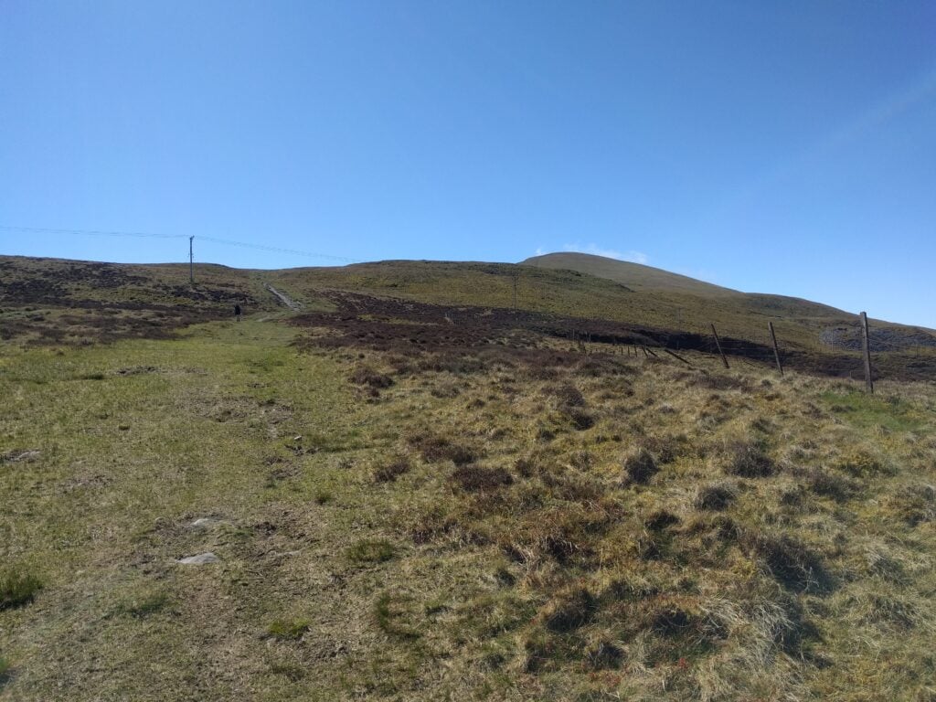
Navigation is simple: From the High Street, you walk up Goodman Street, turning left onto the footpath through the trees at NGR SH 5682 6041. At SH 5648 6028, you come to a warning sign for the former quarry; go over the stile and continue along the path marked on the OS map. As suggested by the notice, the path here is through the old quarry workings and at one point it does go close to a steep drop and it is also a little boggy. It felt perfectly safe, however. Once you reach SH 5569 5994, you turn south to follow the obvious path along the fence directly to the summit. It’s a fair walk from the town, however, and the ascent took me about two hours.
Path through the forest to Moel EilioView from the quarry on the ascent of Moel EilioApproaching the summit of Moel Eilio
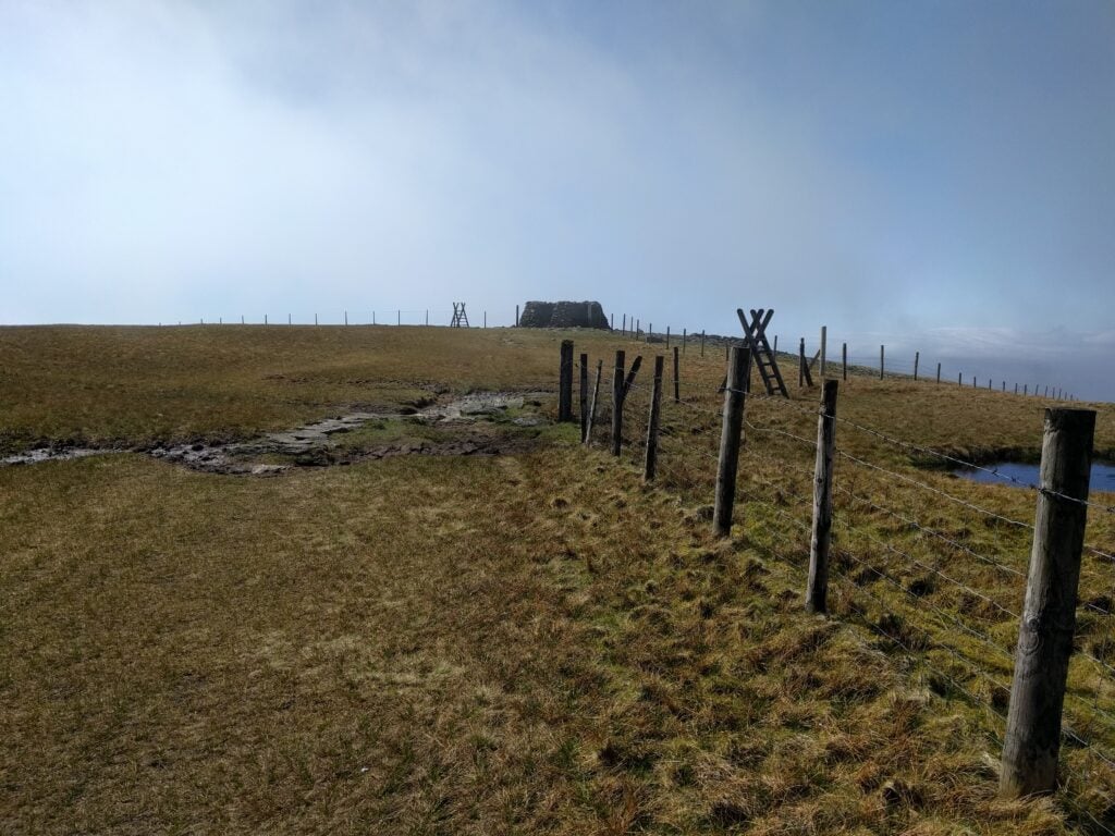
Once at the summit, there’s a very handy stone shelter, walled on three sides, which can be used to shield you from any wind. On a busy day like today, however, it was actually full of people eating their sandwiches.
Summit of Moel Eilio with the useful shelter
Using a bungee cord to attach by fibreglass pole to the wooden fence posts, I managed 7 QSOs on 30m CW, before heading back to the car in Llanberis the way I had come. The descent took around 1 hour 20.
At the car, I dropped off the HF gear to save weight and just take my handhelds up my next target: the Llanberis path up Snowdon.
Snowdon (GW/NW-001)
The Llanberis path up Snowdon is the longest but also least steep and for this reason it is also known as the ‘Tourist Path’. That was a very appropriate name today as hundreds, maybe even more, people were on the mountain — and that’s despite my climb not starting until 14:30, by which time I’d have imagined most would already be on their descent.
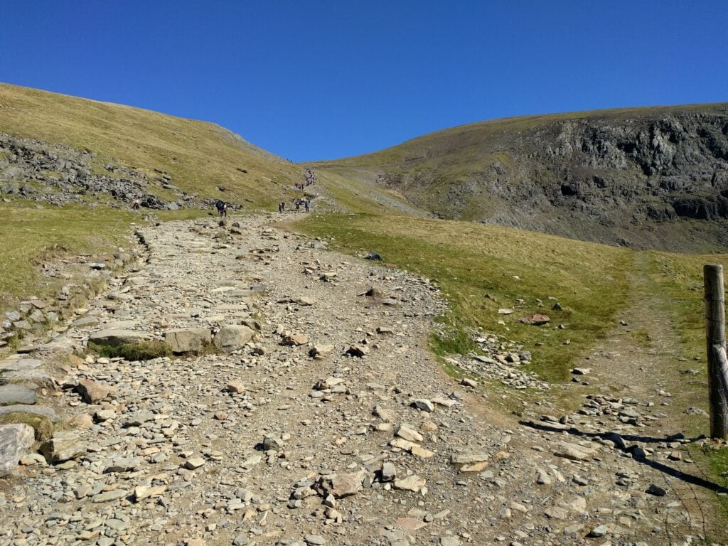
There really isn’t that much to say about the Llanberis path. You start walking on the road out of Llanberis to SH 5815 5892, where you follow a wide path, ‘paved’ with roughly cut stones, more-or-less following the train track up the mountain. The first half of the path is relatively gently inclining, becoming steeper as you approach the summit. There were plenty of young children and older adults reaching the top even on a very warm day, and it shouldn’t be difficult.
I say ‘shouldn’t’ because on the latter stages of the climb, I managed to pull a muscle. I made it to the top and was able to successfully activate the mountain, but it made for a slow descent and a change of plans the next day. The ascent took me 2 hours 45 mins, and the descent took me 2 hours 10 mins, so still at the lower end of the 5-7 hour average time that’s often quoted for this route.
The path (and people) climbing Snowdon on the Llanberis path
As implied above, there really isn’t space on Snowdon for an HF antenna at the best of times, and on a busy day like today it was always bound to be impossible. The summit itself is a pinnacle, almost always with loads of people on it, so I stopped just off the path just inside the activation zone to put out my calls. I quickly managed 4 QSOs on VHF from my handheld, including one contact with GW7HEM/M, who was on his way down the same mountain. This was also my first time on Snowdon with a view – it has always been shrouded in cloud on all my previous visits – so a very welcome change.
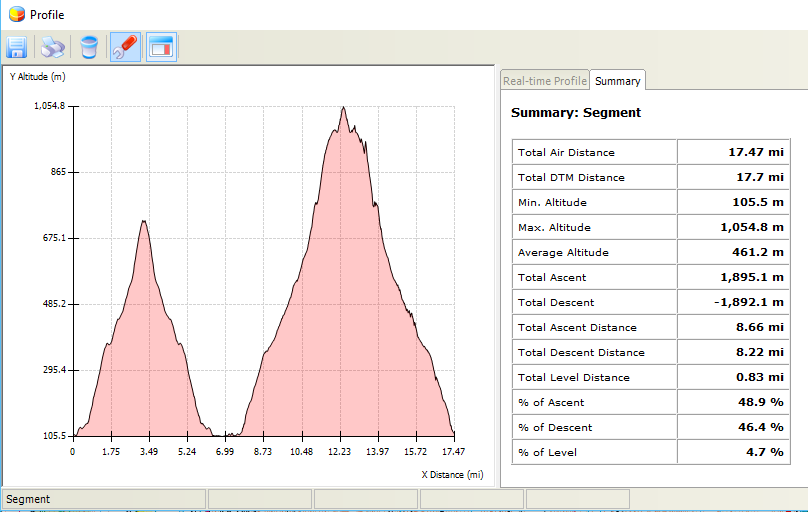
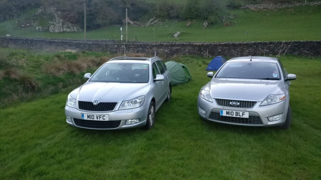
Overall, this was a long day of hiking: 17.5 miles walked with nearly 1900m of ascent over the two summits. No wonder I was keen to get to the Dolgam campsite, where I had a reservation (and where, completely unexpectedly, I was joined by M0VFC, who was also on a SOTA activation in the area).
Profile graph
(Just before I get any comments on the above graph, yes, Snowdon is 1085m. Yes, the SOTA Activation Zone is 25m, so my max altitude must have been >1060m to be inside the AZ. The 1054.8m shown here is well within the error bars for GPS altitude accuracy.)