Enthused by a fairly easy 18 points yesterday on Pico Ruivo and Pico do Arieiro, I aimed to do two one-point hills today, but Penha de Aguia is a much more difficult hill, and so I only had time (and energy!) to do this one. This replan while walking meant that I accidentally ended up sending a SOTAWatch alert for the wrong reference. For the avoidance of doubt, I was on CT3/MI-011, not MI-010. I did send the right reference with the QSOs.
Pico Penha de Aguia (CT3/MI-011)
The start of the walk is at the café at Aguia de Baixo, just outside Faial (32.7888N, 16.8473W). There’s no particular parking here but there are a few opportunities to park at the side of the road. The start of the path is literally along the café’s side wall, even if it feels as though you are going into a private back garden. On the ascent, I was unsure about this so I went a little further up the road to take the ‘agricultural road’, which is a slightly longer way around but also brings you out onto the walking route.
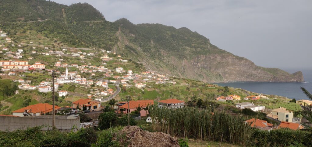
Faial from the start of the walk
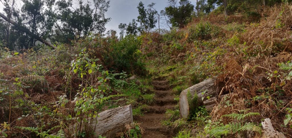
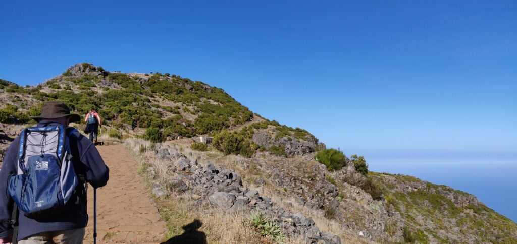
The path is defined but less obvious than the others I had encountered on Madeira. It’s just a thin path of dust and mud through the vegetation but at times it does have steps cut into it to assist on the steepest bits.
The steps cut in the earth path
The path itself starts out in fairly open land, twisting along a cliff face (but there are no significant drops to worry about). It then enters woodland, and stays in the trees for the majority of the ascent. Even the top is entirely wooded. One of the more minor factors that made the walk hard work was that near the summit the path was completely carpeted in damp pine needles, making it incredibly slippery.
There were other major two factors that made the ascent so difficult. The first is the steepness. It’s a 2.3km distance for about 450m ascent. That’s a 20% average incline, with parts between 50-60%, especially near the top. Again, it wasn’t impossible and it wasn’t a scramble at any point but I certainly needed my walking pole on the way down.
The other issue was the wind. From about 400m elevation, there was an incessant strong wind coming from the coast, with a few stronger gusts in it. On the most exposed bits of path, where the trees give way to a ledge, I had to time my crossing of the ledge a little carefully.
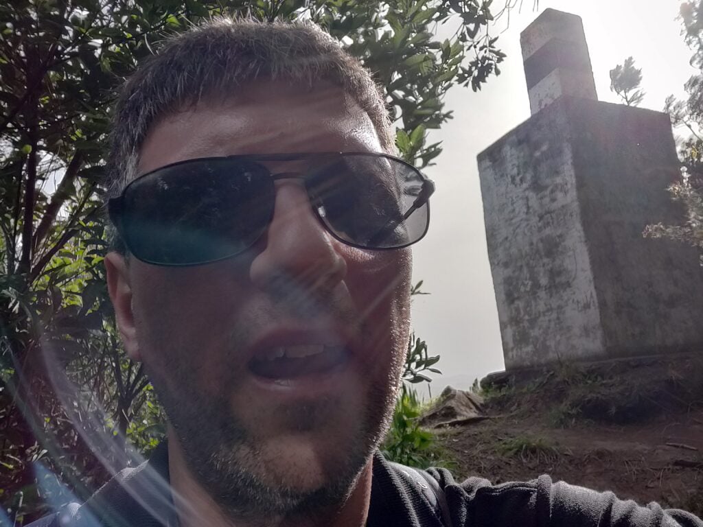
On top of Penha de Aguia
Once at the summit, I was able to bungee my SOTA pole to an olive tree and take out the dipole legs along the length of the path. There’s not a lot of room but it worked. I made 10 QSOs around Europe and didn’t stay any longer as I could hear some trees below me crashing down as they fell in the wind.
The ascent took 70 minutes and the descent about 50 minutes. Having done this one, I certainly felt justified claiming the 29 points for the trip! Be aware that the GPS track below isn’t completely accurate as I kept losing GPS lock in the trees.
Loading map…Scroll or tap to load the interactive map
Continuing my SOTA trip to Madeira, and following on from yesterday’s activations of Pico Ruivo do Paul and Pico Chao dos Terreiros, today I did two of the larger summits on the island.
Pico Ruivo (CT3/MI-001)
The highest point on the island, Pico Ruivo (not to be confused with Pico Ruivo do Paul, which I climbed yesterday) is a ten-point summit, which is easily accessed. Unfortunately, this also makes it very popular with visitors, and coaches from hotels drop off their passengers for the walk, so you are strongly advised to start this one early.
The starting point at Teixeira is about 50 minutes’ drive from Funchal, along some very twisty mountain roads. There’s nothing really at Teixeira, which is also the end of the road, except a large carpark.
The car park at Teixeira, seen from the start of the walk
From there a wide, paved path hugs a ridge with some spectacular views for the 3.3km journey each way to the summit. Along the path there are three small stone shelters, which could be useful in the foggy conditions that can apparently occur in the area, but which I think are more likely to be used as picnic benches. One slight surprise on the walk was that in a couple places we encountered ice, even though it was about 15C and sunny. Clearly it can get very cold by night.
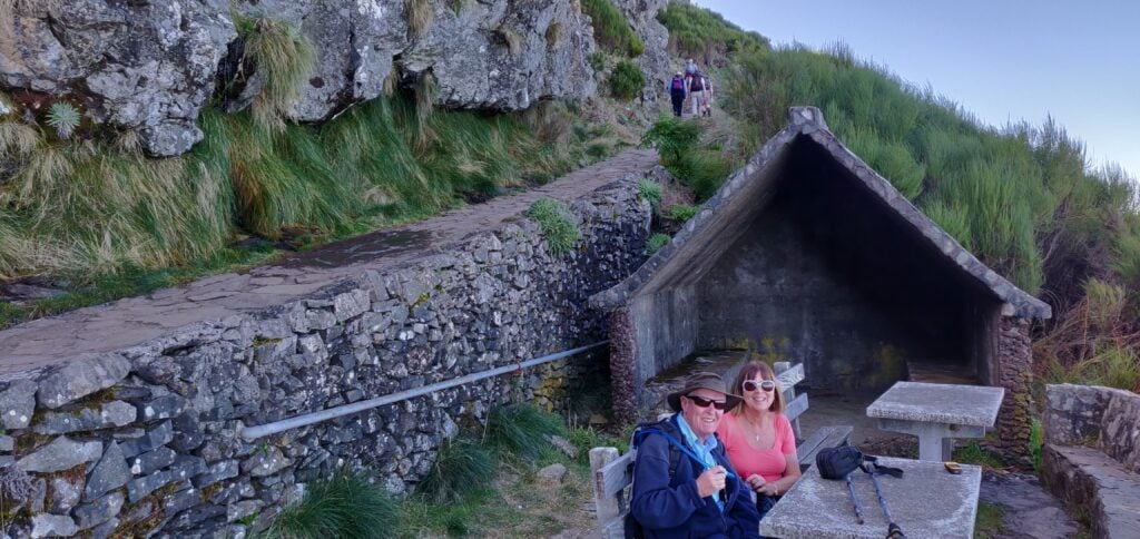
The wide, paved, path leads as far as the Casa do AbrigoMy parents at one of the small stone shelters
Just under 500m before the end of the walk (which has hitherto been fairly flat), there’s a more substantial ‘Casa do Abrigo’ (Shelter House) with toilets and a café. This also marks the start of the slightly steeper climb to the top. It’s not a difficult climb but it’s about 100m of ascent for the 450m of distance on a dusty path that twists up the mountain side. As I say, this is a fairly easy 10 points, and it was easy enough for my parents (who aren’t in the best of health) to make it to the Casa do Abrigo with me, before I continued to the summit alone.
At the summit, there’s not a huge amount of space and it’s made more difficult by the number of people there. On the other hand, the mountain does have a double-peak: the main one with the trig point and another viewpoint, which is still easily in the activation zone. Since it was quieter there, I set up at the viewpoint, leaving everyone else to take photos at the trig point in peace. The available space didn’t allow me to stretch out the dipole legs fully but I did the best I good, having again been able to bungee my SOTA pole to the fencing at the top.
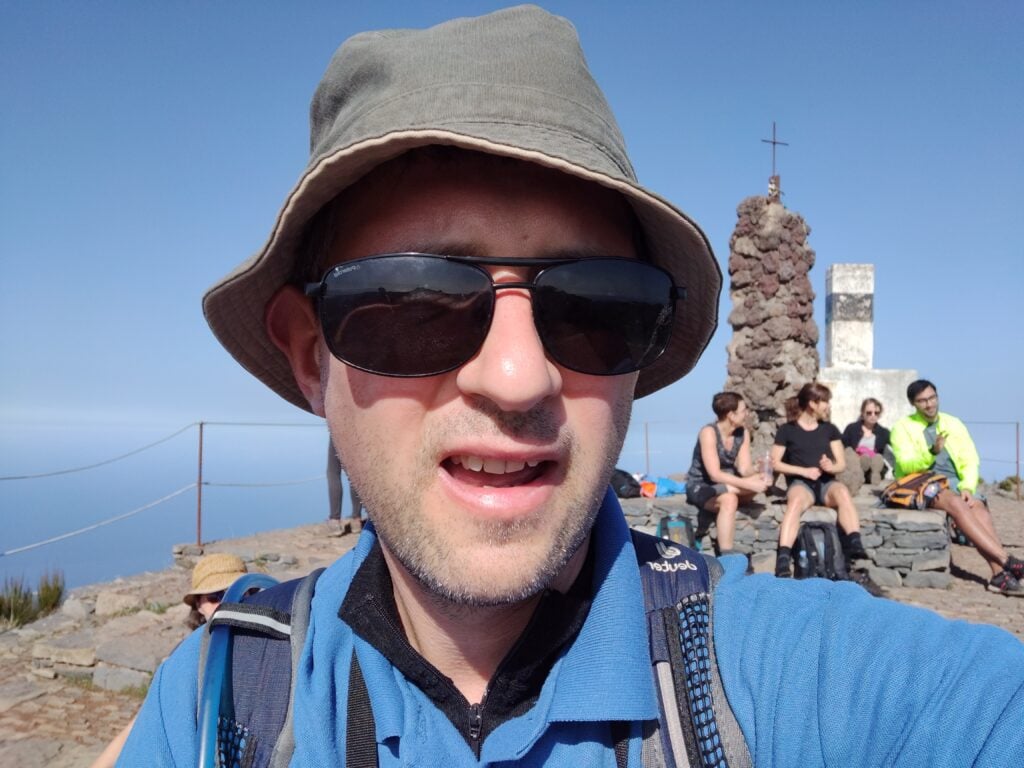
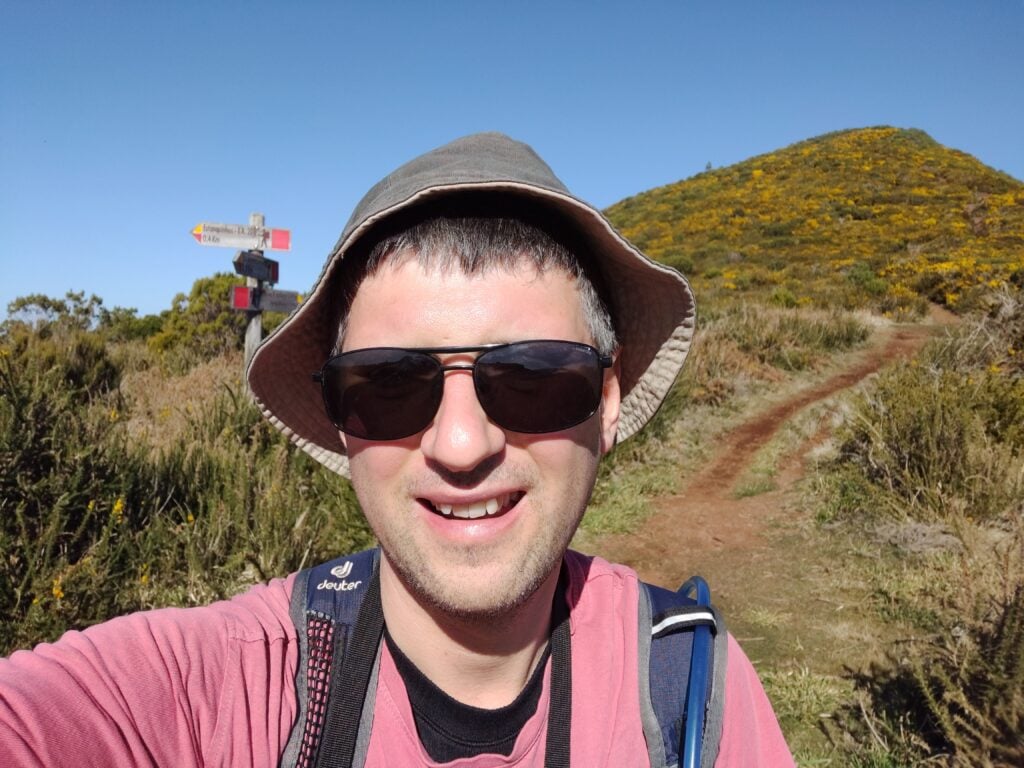
Selfie on top of Pico Ruivo
I didn’t spend too long up here but managed five QSOs including, incredibly given the aerial’s haphazard installation and the fact it was still morning, one American. It was also nice to make a QSO with G4OBK, whose writeups of these hills had formed the basis of my own trip. In fact, I contacted Phil four times on the trip, just missing him on Pico Ruivo do Paul.
The ascent for this one took about 90 minutes (allowing for my slightly slower parents), and the descent took an hour. We started the walk at about 09:30, about an 90 minutes after sunrise, and I wouldn’t have wanted to leave it any later given how busy the carpark was by the time we returned.
Loading map…Scroll or tap to load the interactive map
Distance
—
Elevation gain
—
Elevation loss
—
Max elevation
—
Waypoints
—
Elevation profile
Pico do Arieiro (CT3/MI-004)
It’s possible to walk from Pico Ruivo to Arieiro on a 6.7km path, which also takes you beneath the summit of the currently unactivated Pico des Torres. I, however, went for the easier option of driving between the peaks. It’s a long way around, however, taking nearly an hour on some fairly twisty roads.
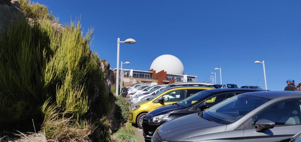
Once you’re there, however, Arieiro is possibly the easiest 8 points ever. It’s the site of a large military raydome, and so not only has an access road to the summit but it also has a large carpark and café. Despite the substantial carpark, however, it was running out of space by the time we arrived in the early afternoon.
The carpark at Pico do Arieiro
The summit itself is located behind the café, and there’s a few steps up to a trig point, near where the path from Pico Ruivo joins. There’s really not that much else to say about it. Since the actual platform with the trig point was busy, I found a spot just off the carpark but within the activation zone to operate from, and managed 9 QSOs including five Americans. It was also good to speak to Martin G3ZAY at the G6UW shack (where I often operate from) – he had also found me from GB2IWM at the Imperial War Museum, Duxford, when I was on Ruivo this morning.
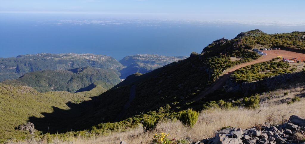
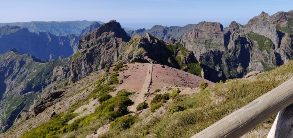
The view from the trig point at Pico do Arieiro, including the path back to Pico Ruivo
Not a bad day for earning 18 points all-in-all, but I’d have to pay for it with a cruel 1-pointer tomorrow!
Last week I spent some time on a family holiday in Madeira, during which I also spent three days in the hills doing SOTA activations.
The first thing to know about Madeira from a radio perspective is that although the DXCC prefix is CT3, that prefix is reserved for residents. The prefix authorised for CEPT visitors is CT9.
Pico Ruivo do Paul (CT3/MI-006)
The six-point Pico Ruivo do Paul is about 45 minutes drive from Funchal, along fairly quiet roads. I parked our hire car at the parking space off the road at 32.7699N, 17.0782W. Nobody else was around, as this isn’t the most frequented area of the island.
The carpark at the bottom of Pico Ruivo do Paul
From the carpark, the walk is a fairly simple matter of following the obvious path, which starts on the opposite side of the road, up to the summit. The ascent took me 40 minutes (partly as I had to wait for my parents, who are somewhat older) and about 20 minutes down. The path is almost exactly a kilometre in length for 130m ascent, the steepest bit coming just before the summit, but at no point is it hard. On the top, there’s a fairly large area of flat ground where you can set up, which has wooden fencing around it – perfect for attaching a SOTA pole with bungees!
I set up on 20m CW and fairly quickly had made 7 QSOs, enough to qualify the hill.
Me with Pico Ruivo do Paul in the background
This was a lovely start to the activation, and a fairly enjoyable easy hill.
Loading map…Scroll or tap to load the interactive map
Distance
—
Elevation gain
—
Elevation loss
—
Max elevation
—
Waypoints
—
Elevation profile
Pico Chao dos Terreiros (CT3/MI-008)
Update February 2020: I returned to this hill a year after writing this post and a lot had changed. At Boca de Corrida, the path had a chain and padlock across it and there were no indications as to whether only vehicle movement is restricted, or whether pedestrians should keep out too. The latest satellite imagery shows that the clearance I witnessed in 2019 had been extended and there is now a maze of paths in place of the old track. Given this exploitation, I decided to head north on the steep, paved path signposted to Encumeada. OpenStreetMap indicated that this would be a useful diversion, and that it is possible to turn left at around 32.7253N, 16.9938W along a track to bring you back towards Terreiros. I couldn’t see the track at this location however – I suspect it has become overgrown. With my parents in tow and nowhere else to leave them, I abandoned my trip in 2020. I suspect next time, I’d approach from Fontes, to the west, even though the route is longer and steeper. Anyway, back to 2019…
On the map, Terreiros (4 points) is not far from Pico Ruivo do Paul but the geography of the island means it’s a pretty decent drive between the two places. To make the most of the day, we drove from Pico Ruivo do Paul to the ‘skywalk’ at Cabo Girão (a glass platform overhanging the cliff), where we had lunch at the café, before heading up to Terreiros. A tip for anyone following our route: use the toilets at the café before eating – the €0.50 you pay for the toilets can be discounted against your café order. Not knowing this, we did everything in the wrong order.
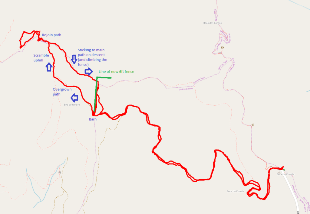
The drive to Terreiros from Cabo Girão looks really bad on the map but it’s actually fine and my TomTom got us there fine. The path starts from the end of the road at Boca da Corrida, where there’s a small car park and chapel (32.7110N, 16.9869W). At least on the map, the path is, again, obvious and wide and twists its way around the hill over the course of about 2.7km. The ascent is about 200m. It was easy enough for my parents to do with me for the first about three quarters of the walk. One note on my map indicated the path was overgrown and impassable. That was definitely not the case and in fact there were people working clearing trees on the hillside above us. And then I had a problem. At the barn at 32.7139N, 16.9970W the path divides and it isn’t clear what you are meant to do. The track continues up a steep hill, with a newly made fence on your left, but when you get to the top, you realise you need to be on the other side of the very tall (maybe 6ft) chicken wire fence. But there’s no major path from the barn on the other side of the fence. Yes, the fence has been built right across the path. It had taken me 40 minutes to get this far, and I wasn’t proposing to give up, so I left my parents somewhere safe and set out to find my own path, keeping the new fence on my right. This was a mistake. It involved fighting through some very overgrown plants, and then scrambling up a steep grassy bank with plenty of opportunity to lose your footing. It was really hard work. After maybe 15 minutes of this, I eventually came out to the path I should have been on, and continued to the summit.
The fence newly-erected across the pathThe GPS track caused by negotiating the new fence
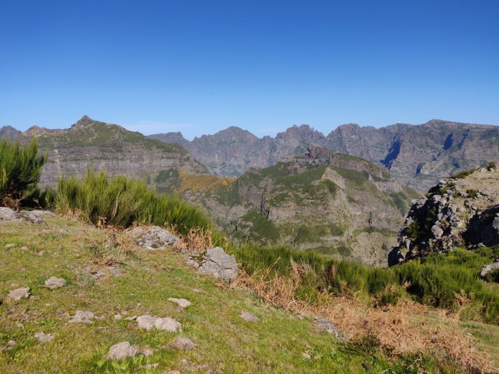
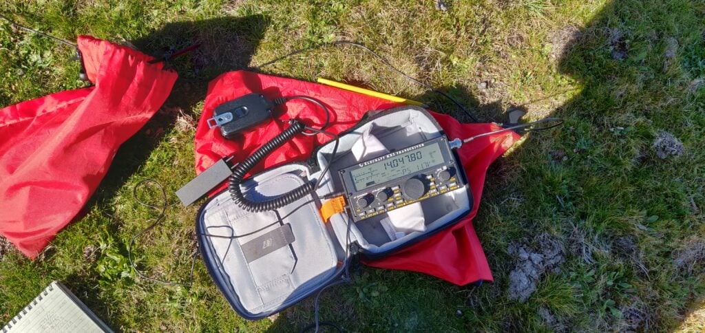
The activation zone of Terreiros is nice and large and, again, this isn’t a well-frequented hill, so it was nice and quiet. The view is also spectacular. I made 10 QSOs from here, including two Americans which was a nice surprise for 10W into a simple linked dipole.
The view from Pico Chao dos Terreiros, looking towards the hills I did the following dayMy Elecraft KX2 on Pico Chao dos Terreiros
On the way back, I stuck to the path and managed to climb over the fence, rather than taking the ‘cross country’ route I had used on the ascent. This turned out to be much better. The descent, including recovering my parents from where I had left them, took just about 35 minutes.
Loading map…Scroll or tap to load the interactive map
Distance
—
Elevation gain
—
Elevation loss
—
Max elevation
—
Waypoints
—
Elevation profile
One word about the journey back to Funchal – G4OBK has mentioned how useless his TomTom was on Madeira. I didn’t have as many problems as he seemed to have but the journey back was an exception, with it continually insisting I needed to take very minor one-way streets down steep hills that were about the same width as the car. No damage was done, but it wasn’t the easiest driving.