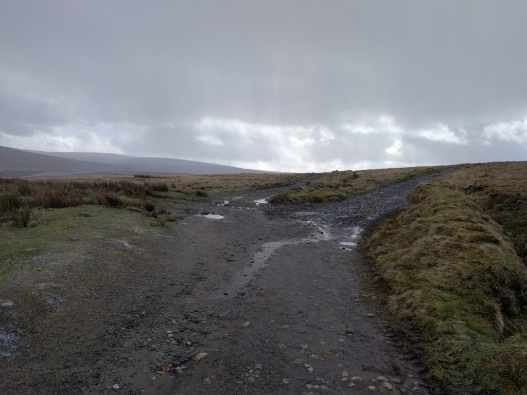
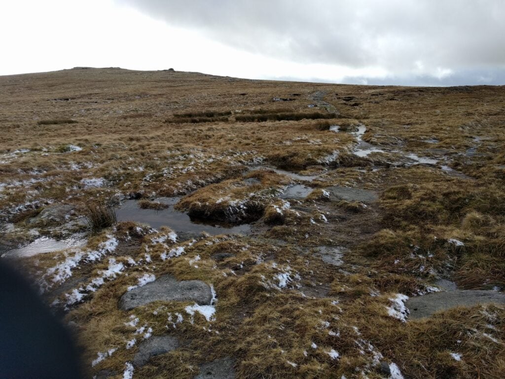
Yesterday, 21st April 2018, I took my parents to visit Canterbury for a day out. On the return, as it was a beautiful and unseasonably warm day for April, we stopped off at Detling Hill so I could do a quick SOTA activation.
Detling Hill itself is a lovely place but boring from a SOTA point-of-view. It’s a one-point summit just off the A249. which links the M20 and M2 motorways on the outskirts of Maidstone, Kent. The easiest way to activate the summit is to park at the White Wood Country Park, where there is masses of parking for just £1.50 per day at weekends. The car park is in the activation zone and there are park benches there – perfect for operating! Since this felt rather like cheating, however, I did at least do the short walk to the trig point after completing the 4 QSOs. The trig point is maybe 5 minutes’ walk along a surfaced path from the car park, with very little incline.
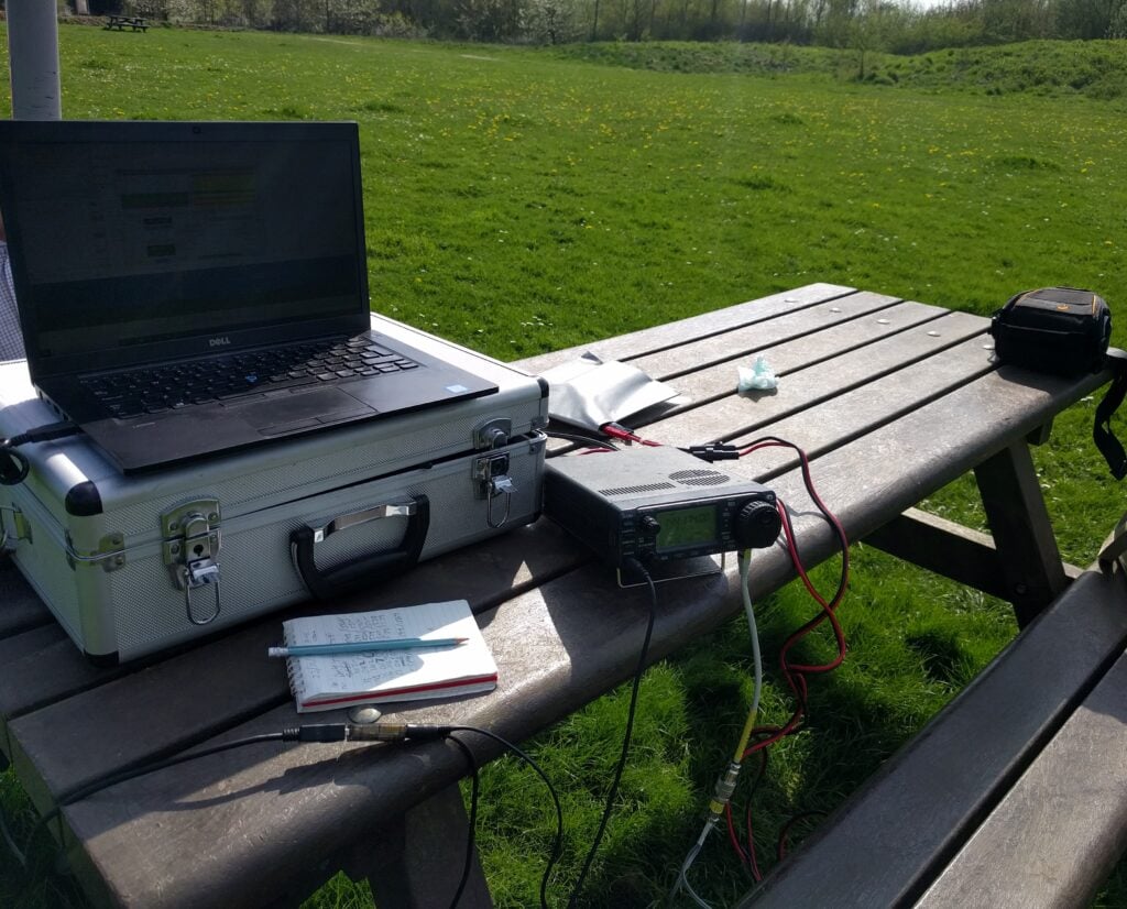
To make my activation a little more interesting, I was aware that my time on the hill coincided with the first few minutes of the first ever RSGB MGM (Machine-Generated Modes) contest, taking place on 2m and 6m. With the knowledge that there would be a bench to operate from and masses of space, I took the opportunity to use my 3 element 2m beam that I bought in Rosmalen a few weeks ago and make my 4 QSOs using the FT8 mode.
This was successful in that I made the requisite number of contacts, but I was aware that something was wrong with my portable setup – I was apparently not hearing many of those calling me, and I also couldn’t see anything on my ALC meter. Something to investigate, as it had been working OK at home.
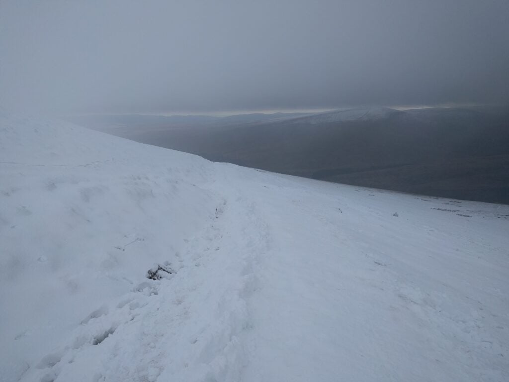
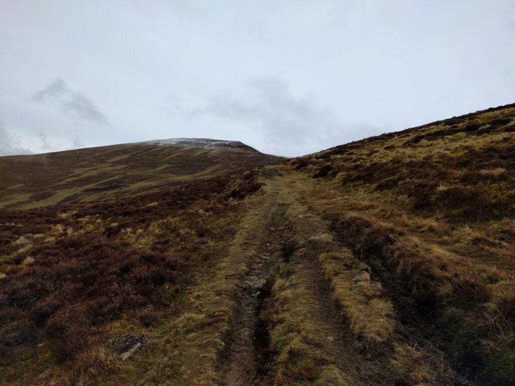
Following the snow on Pen Y Fan yesterday, I decided to cut my long weekend short and to head back to Cambridge on Easter Sunday, stopping at Black Mountain on the Welsh-English border on the way home.
GW/SW-041 Black Mountain
6-point Black Mountain is a lovely walk, which I last did just before Christmas. I shouldn’t have trusted my Sat Nav to get here from Cwmdu, however, as I seemed to end up on an awful lot of very small, minor roads, and a less direct route would probably have been more comfortable. Luckily, there was nobody much around early on Easter Sunday morning.
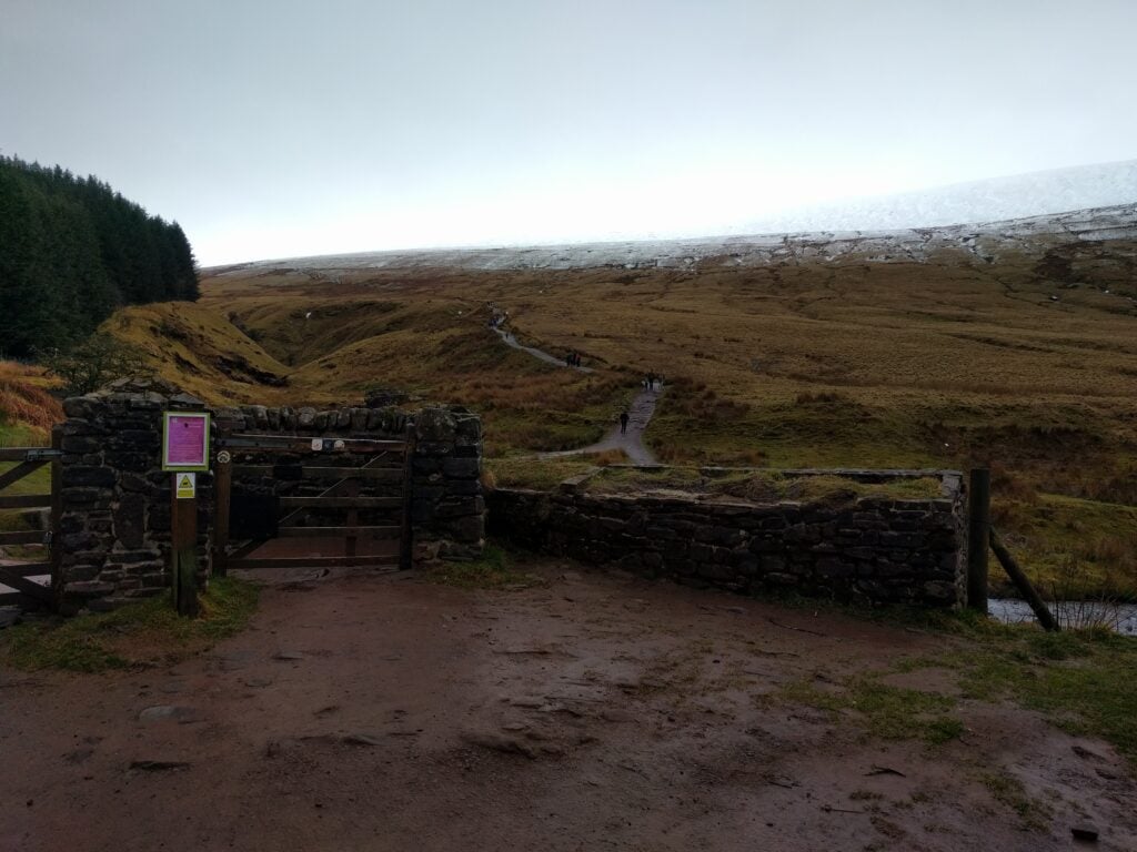
After parking at NGR SO239372, there’s an obvious path up the hill towards the summit of Hay Bluff (not a SOTA). It was half-way up here, where the path from the car park meets a more major path at SO243368, that the path became quite icy and it was again time to get my YakTrax onto my shoes to give some extra grip. It’s towards the end of the climb to Hay Bluff that you reach the only moderately difficult part of the walk as the path winds between some rocks, doubling back on itself. It wouldn’t normally be a challenge, but the slippery conditions made it more so today.
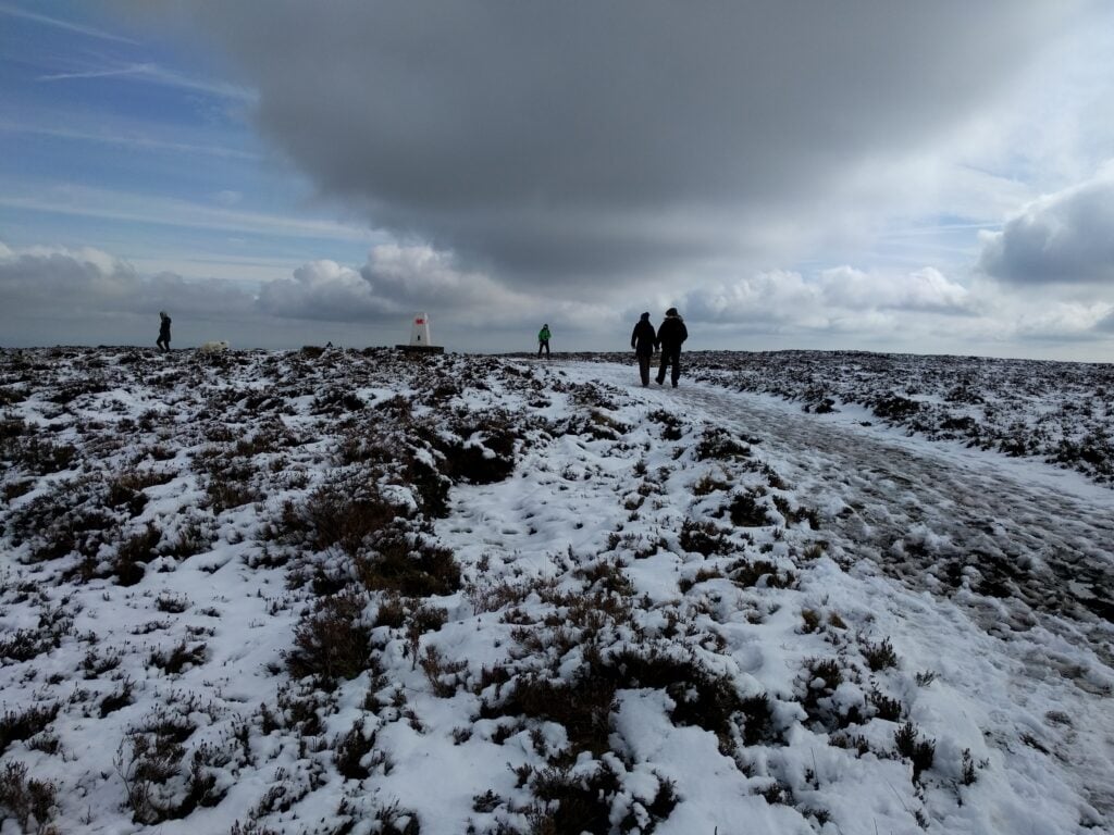
Approaching Hay Bluff
The summit of Hay Bluff, marked with a trig point, is where you turn South-East to head towards Black Mountain. The walk from here is almost completely flat with just a gentle rise from 677m ASL at Hay Bluff to 703m at the top of Black Mountain.
Ordinarily, this path is quite boggy, but under a decent layer of snow and ice, it was possibly slightly easier to walk in today. The total walk took about 1h10 for the ascent and 55 minutes for the descent, for about 225m climb and 2.5 miles each way.
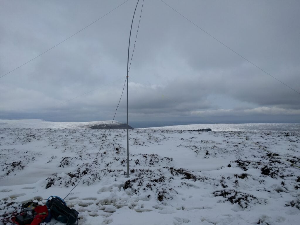
I stopped well inside the activation zone at SO255354, where the path was slightly wider and I could get space to set up the antenna without falling through the ice into a frozen bog.
My radio setup on Black Mountain
Despite calling on 2m, there were no replies, so all my 9 QSOs were on 30m CW.
Once I was off the hill, I found an ice cream van in the car park, which I treated myself with after helping to push another car out of the very deep mud that was just off the gravelled spaces (getting myself very muddy in the process). It was then back to Cambridge.
Having stayed the night at the very comfortable Cwmdu Campsite (only ten minutes’ drive from Mynydd Troed – where I finished yesterday – and Mynydd Llangorse), I awoke to a very wet pitch. It had rained heavily all night, and I was aware that that rain would have fallen as snow on the summits.
I decided to wait for the rain to stop (which luckily it did, at around 9:30am), before I set out, meaning that I already started the day behind my planned schedule.
GW/SW-001 Pen Y Fan
As its numbering suggests, Pen Y Fan is the highest of the Brecon Beacons, at 886m, scoring 8 points for SOTA. The main carpark is about a 40 minute drive from Cwmdu and, despite the weather, this substantial layby was approaching capacity by the time I got there. This is such a popular walk that there were easily hundreds of people going up with me.
The start of the path up Pen Y Fan
This was as well, because the weather had made the normally easy, and well-maintained, National Trust footpath a bit challenging. Those in trainers were certainly slipping a lot and I was very glad to be wearing YakTrax – something that had been recommended to me only a few days before, and they were brilliant!
The upper part of the path under snow
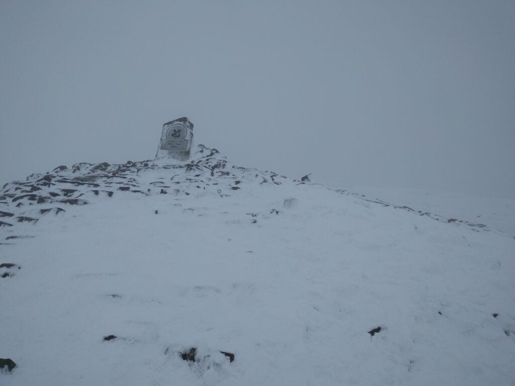
The photo below is the only one I managed to get with nobody else in it. In practice, I was on the hill with lots of other people, and this, combined with the wind chill, made operating a challenge. I started by calling on 2m, but could only manage 2 QSOs there. So, it was time for HF: I set up my SOTA pole at half-height, leaving the ends of my 30m dipole dangling, knowing I would be weak, but hoping that would be adequate to get the magic four QSOs total. It was, and after completing with another 4 people on 30m, I got off the hill as soon as possible.
Pen Y Fan summit
The ascent took 1h25 and the descent took about 1h10. The ascent is 440m over a 2 mile path.
I had planned to activate the other SOTA qualifying hill in this valley, Fan Fawr (GW/SW-005) on the same day, but looking across at it from Pen Y Fan, it clearly had as much snow on it. I didn’t know Fan Fawr at all, but knew there would not be such a good, distinguishable path, so I opted to leave that one for another day, and to head instead back towards the campsite, so I could activate Mynydd Llangorse, which I hadn’t done yesterday.
GW/SW-015 Mynydd Llangorse
And so it was that I found myself parking in the same place as 24 hours previously, but this time to head up in the other direction to the 2-point Mynydd Llangorse.
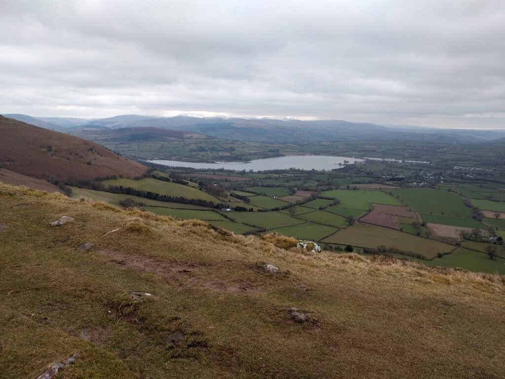
From the road, it looks as though the two Mynydds are about the same height and steepness as each other, but this is an illusion. Mynydd Llangorse does rise sharply at first but it isn’t so steep as to need those slippery footholes that I’d struggled with yesterday. Instead, the path winds around the fort at NGR SO160278 (though you wouldn’t know it was a fort without the map’s indication – too little remains for a non-expert to tell), and soon levels out to another flat-topped hill with some lovely views looking back towards Pen Y Fan.
View from the flat top of Mynydd Llangorse
The flat top means there’s a large activation zone for SOTA and I set up a little away from the summit, instead choosing the Cairn at the point where two paths cross at SO1592567. In doing so, there was more space to set up my dipole without having to wade through too much heather.
With no rain, and without the snow covering at this altitude, this was a much more pleasant activation, and I took my time making the 10 QSOs on 30m, before heading back to the car. The ascent took about 40 minutes, and the descent about 30 minutes.
I spent the Easter weekend in Wales operating from some of the SOTA summits in the Brecon Beacons. After staying in Gloucester overnight on Maundy Thursday, I started Good Friday by heading up Waun Fach.
GW/SW-002 Waun Fach
I approached Waun Fach from the South-West, starting from the crossroads at NGR SO190267, just above Waun Fach village. This is up a very steep, narrow road off the A479 – the sort you think you wouldn’t want to meet anyone on. Once at the crossroads, though, there is plenty of car parking space.
From here, you walk up the road to a well-made path, and then onto the open moorland, where you follow the obvious paths straight ahead. This isn’t a very challenging walk, the path rises but not too steeply, and you eventually come up onto the flat, and often boggy, top.
Start of the Waun Fach pathMoorland ascent of Waun Fach
The ascent took about 1h45 for about 2000ft, and the descent took about 1h15. The only slightly challenging bit was at Pen Trumau (NGR SO203292), where I was tempted to avoid having to climb the up onto the ridge. You do need to just go for it, continuing on the path up the short, and slightly steep bit onto the crest of Pen Trumau. There isn’t a way to skirt round it, but it’s less hard than it looked.
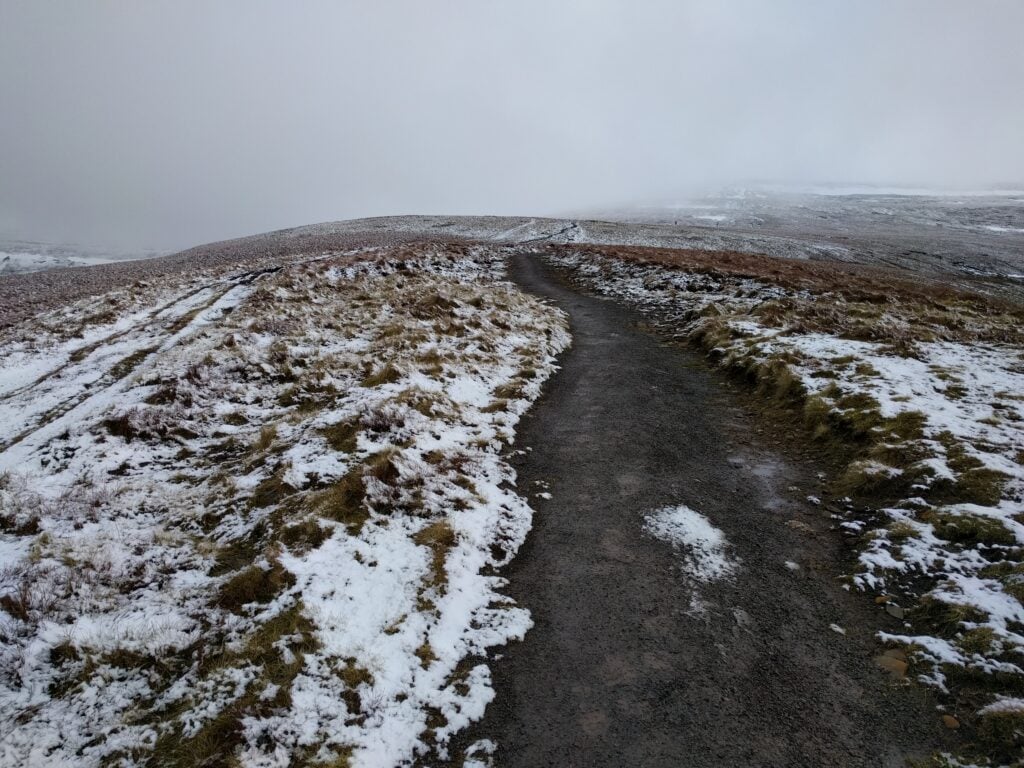
Passing about the 700m ASL contour line, the ground became frosty and then covered in a thin layer of lying snow, but this is also where you pick up a nice gravel path taking you to the summit of Waun Fach. There isn’t much to see on the summit though. It’s a flat top with no particular features.
Approaching Waun Fach summit
As you can see from the photos, it was quite cold today, so I didn’t stay too long on the summit, but enough to comfortably activate the mountain on 30m CW and 2m FM. (8 QSOs on 10MHz + 3 QSOs on 145Mhz).
GW/SW-009 Mynydd Troed
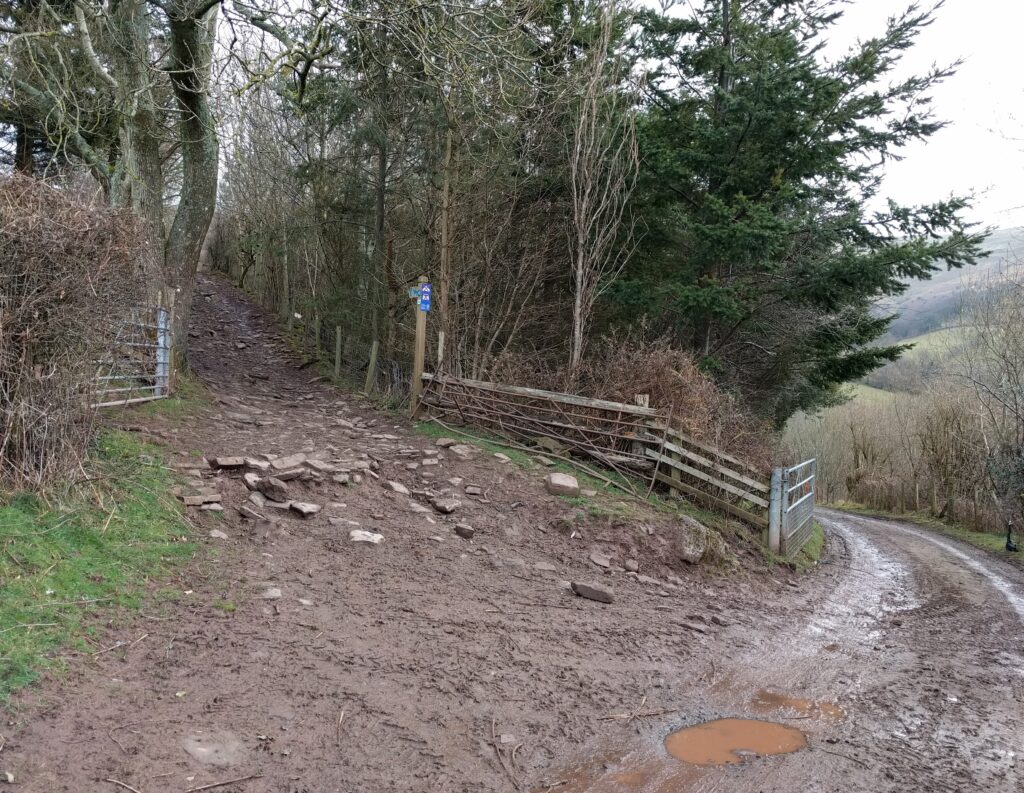
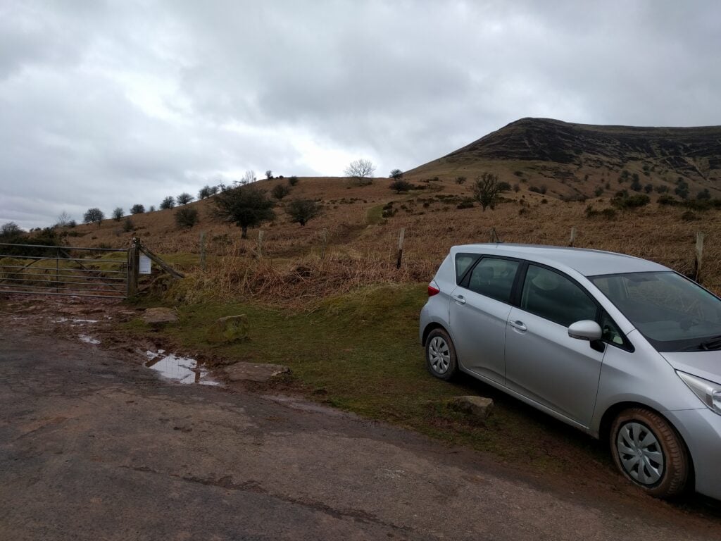
From Waun Fach, it’s only about a 15 minute drive to the shoulder between Mynydd Troed and Mynydd Llangorse, just the other side of the valley at NGR SO161282. It’s worth noting that, approaching from the south, there’s a gate across the public highway (SO169273). This took me aback at first, but it’s perfectly fine to just open it and close it after you again. Parking is on the shoulder itself, where there’s space for about 5 cars at SO160283.
The 4-point Mynydd Troed is a steep climb, taking only about 45 minutes. It starts with a simple grassy path, but the steepest point turns to steps cut into the grass, which today were full of mud and quite slippery on the descent. Just when you think you’ve reached the top, the path turns around the side of the hill, as a final sting in the tail.
Mynydd Troed from the shoulder between Mynydd Troed and Mynydd Llangorse
The top is nice and flat, like most of the Beacons, giving lots of room to operate, and this isn’t particularly well-frequented – most people seem to go up Mynydd Llangorse instead, as it’s the easier walk. Indeed, I’d planned to head up Llangorse, a SOTA 2-pointer, immediately after Troed, but with heavy rain looming and a tent to pitch, I decided to do the activation quickly and get off the hill. I made only 7 QSOs on 30m and 1 on 2m.
After leaving my B&B in Laragh, it was a 50 minute drive in frosty conditions via the picturesque lakes outside Blessington up to Sorrel Hill, a small dimple on the landscape which is nevertheless worth 6 points plus winter bonus. The road to the car park at Sorrel Hill is single track, but the grass verges mean there’s plenty of places to pass. The car park itself was quite busy for a cold, crisp morning, but most of the people were heading on the path south towards Black Hill (not a SOTA), rather than heading north up Sorrel Hill.
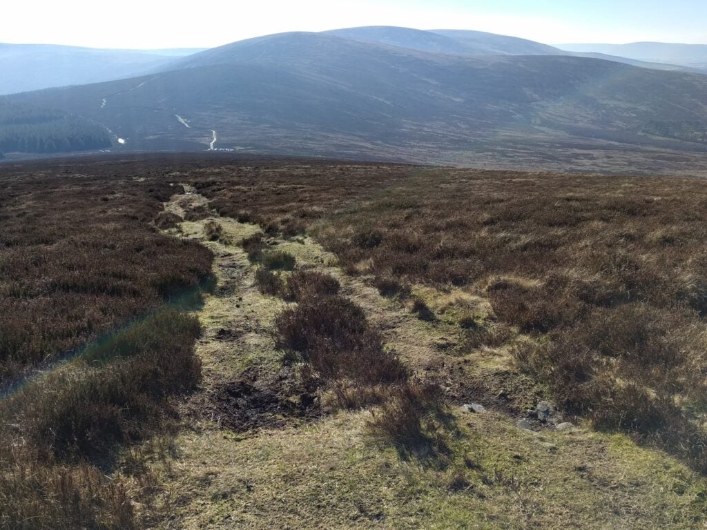
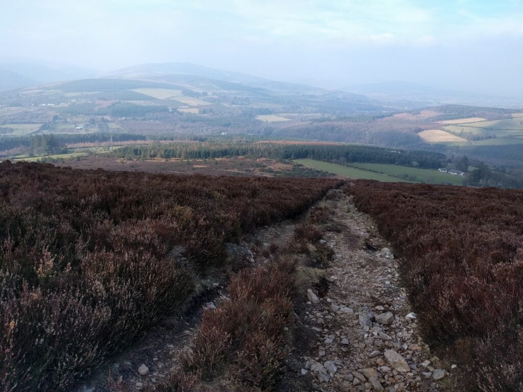
The path itself is an obvious grass track straight up the side of the hill, and in no way steep. The only thing that made the walking difficult today was the frozen mud and puddles, which made the surface uneven. The ascent took about 40 minutes, and the descent (by which time the frozen mud was starting to thaw) took just over 20 minutes.
The grassy path up Sorrel Hill, with the car park just visible at the foot
At the top, I set up in the shelter of the cairn as it was nice and quiet and, now that the haze of the last couple days had cleared, there were some very nice views. Don’t let the blue sky deceive you, though – the wind was still cold and strong!
The view to the west from the top of Sorrel HillPoulaphouca Reservoir, near Blessington, seen from the climb up Sorrel Hill
Overall, this is a lovely hill and very easy for six points. I made 20 30m CW QSOs from here and, out of the wind, it was a very nice activation. It was quite surprising that it had only been activated 7 times before.
EI/IE-044 Saggart Hill
If it was surprising that Sorrel Hill was so little activated, Saggart Hill is even more of a mystery. This was the fourth ever activation of this hill, despite the fact that it is located very close to the N81, the main road heading south west from the M50 (Dublin’s ringroad).
To be fair, I wasn’t originally planning to activate this little two-pointer either but with some time to kill before my flight, it wasn’t a great detour, and I’m glad I did it. It’s only about 15 minutes’ drive from Sorrel Hill and about 40 minutes from Dublin Airport.
There’s a steep and narrow, but perfectly fine, road leading from the N71 to a barrier at entrance to the woodland on the hill, and enough parking space for a few cars to park on the side of the road. This was quite a popular place on a sunny winter’s afternoon, and I was lucky to find a suitable spot.
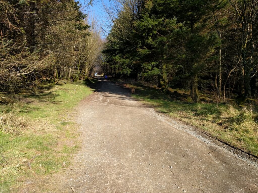
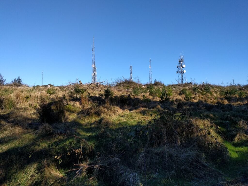
Getting to the top of the hill is easy. It’s a 10 minute walk up a simple track from the barrier through the woodland to the top of the hill which is covered in masts with various microwave dishes. One other website describes the hill as a ‘porcupine’ and that’s fairly apt – not all of them are visible in the picture below.
The track through the woodland on Saggart HillSome of the masts on the top of Saggart Hill
I found a quiet spot in a small clearing in the woodland to set up my own (fibreglass) mast. Given a lack of both space and time before my flight, I didn’t bother properly setting up the dipole and let the legs hang much more loose and lower than I would normally. As this was an unplanned bonus hill, I decided to accept a poor SWR and weaker signals if I could just get the four QSOs I needed for the points.
In the end, I was pleasantly surprised that the location wasn’t at all noisy on 30m (a particular surprise given that I was near an overhead powerline feeding the masts) and I managed 14 QSOs.
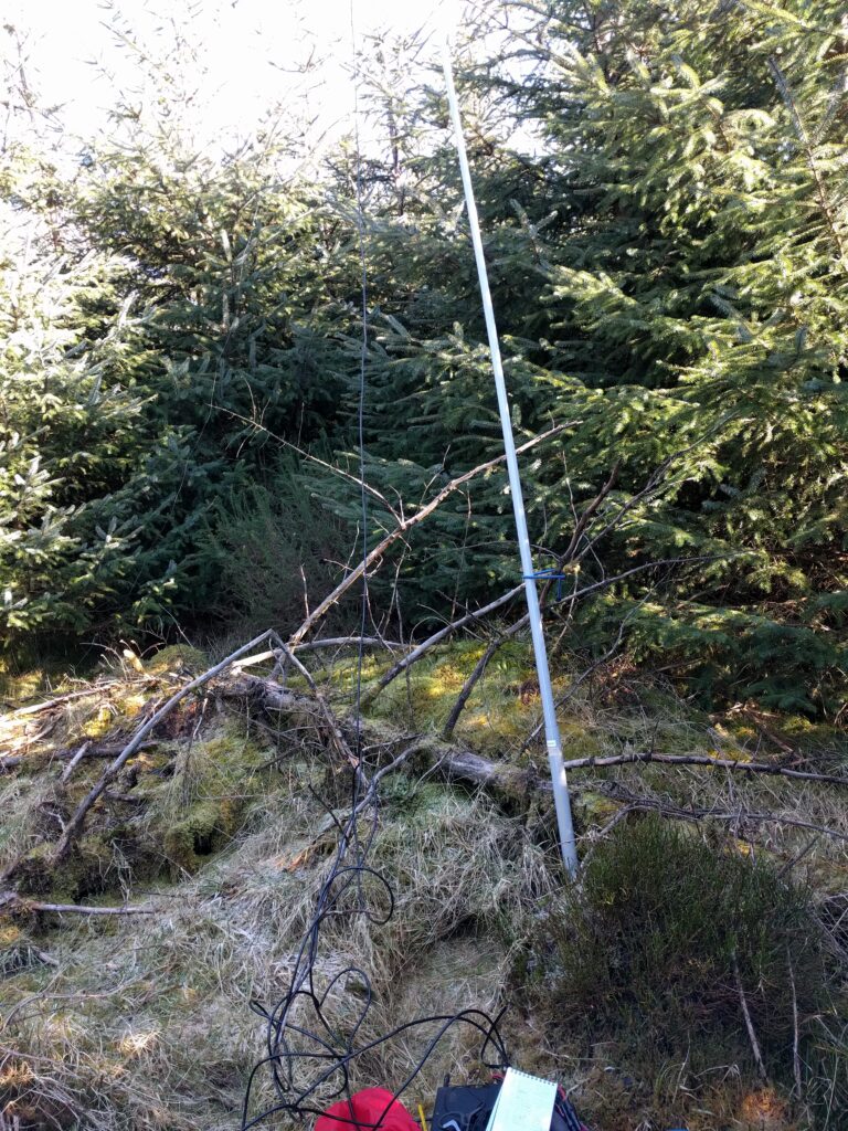
My quick setup in the woods on Saggart Hill
This brought me to the end of the three day trip around the Wicklow Hills, with 54 SOTA points (including Winter Bonuses) and 84 QSOs in the bag.
I’m staying at Tudor Lodge B&B in Laragh, just outside Glendalough, which is near to many of the mountains I’m climbing. It’s a lovely B&B. When I’m on these walking trips, I tend to have a large cooked breakfast, and then skip lunch, and then I will have a decent meal in the evening. The full Irish breakfast at Tudor Lodge certainly fits the bill, and Laragh’s Wicklow Heather restaurant has excellent fare for very modest price, so the location is working well for me!
EI/IE-007 Djouce
The breakfast meant that I left Laragh slightly later than planned, and headed about 20 minutes up the road to Djouce. This is another mountain that is worth 10 points plus winter bonus for SOTA, but like yesterday’s hills it is quite easy.
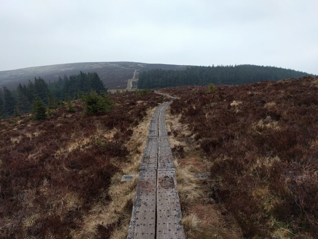
Having parked up in a layby at NGR O 169073, and then going through the thin line of trees beside the road, you quickly pick up a small path which in turn connects into the Wicklow Way, a major long-distance footpath. To reduce erosion, the Wicklow Way has been fitted with a boardwalk to railway sleepers covered in chicken wire. This makes the walk easy, and there’s little risk of going off-course!
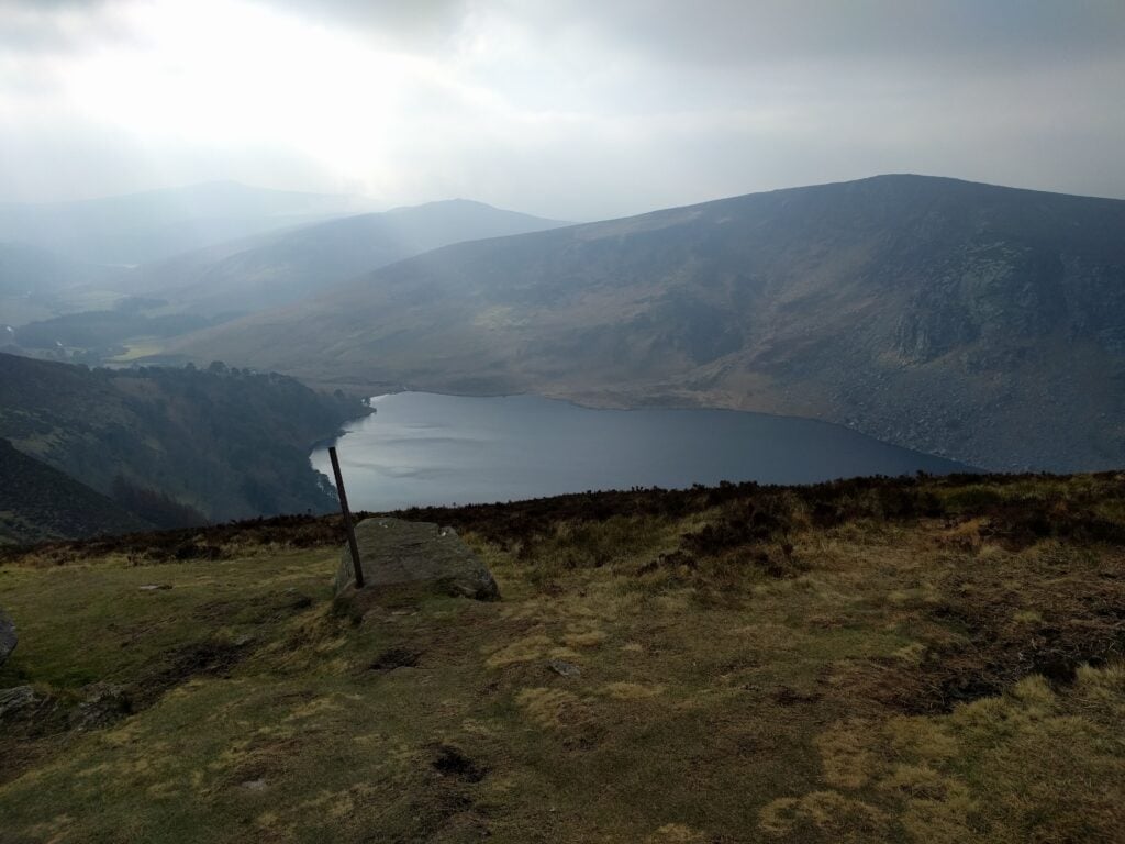
Soon after picking up the boardwalk, there are some wonderful views of Lough Tay, although it wasy quite hazy today.
The boardwalk forming the Wicklow Way to DjouceView over Lough Tay
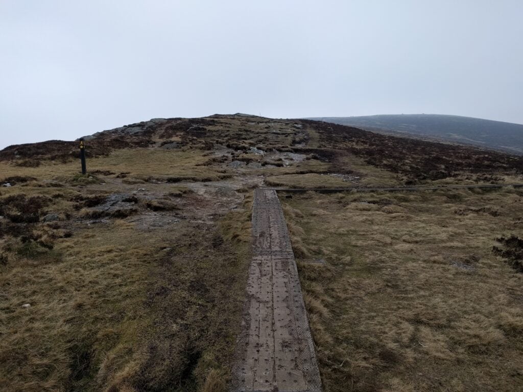
After the ascent of White Hill (630m, not a SOTA summit), the path descends a bit, shortly after which Djouce comes into view. The boardwalk continues most of the way towards Djouce, but turns at O 178097, where the Wicklow Way skirts the side of Djouce, continuing northwest. Leaving the boardwalk at this point, an easily visible track takes you to the summit.
Where the boardwalk turns to skirt around Djouce, continue straight ahead
This is a very easy walk and at no point is it particularly steep.
One of the things I’ve often found, however, is that there are some SOTAs that are easy climbs but then the radio activation is hard. Today, this was one such mountain. With the cold wind not much better than yesterday, I initially opted to take shelter behind the trig point and set my equipment up there. However, very quickly, more and more people started to arrive, all of whom (understandably) wanted to take shelter there too. I soon moved to another location nearby, where I could get a little shelter.
A quick call on 2m didn’t get any callers, so I soon started setting up on 30m. Trying to get the aerial to stay up in the wind was a problem, however, particularly as there were no useful rocks to tie off onto, and the ground was so frozen that I couldn’t get tent pegs into the earth to guy the mast. After about half an hour of faffing, I eventually decided to make do with keeping the SOTA pole low and just using the dipole as guys, me holding the coax as the third guy. This worked enough to get 8 CW QSOs, so comfortably enough for the activation.
Low SOTA pole over the frozen ground of Djouce
The ascent of Djouce took almost exactly an hour, and the descent about 45 minutes.
EI/IE-035 Trooperstown Hill
Although the SOTA scoring is based purely on mountain height, not difficulty of the climb, I’m sure many activators like me have an idea of what a hill ‘should’ feel like for a given points value. The previous three mountains were certainly among the easiest ten pointers I have done (outside Belgium, which is a different story). Trooperstown, however, felt more like the 4 pointer it is.
Trooperstown Hill is only about ten minutes’ drive from Djouce but part of the reason for it being a decent walk is that you start from just 150m ASL in the carpark at O 160969. This means that there are almost 300m to climb.
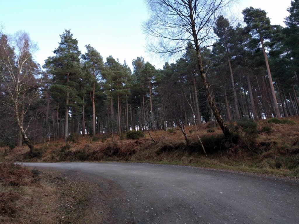
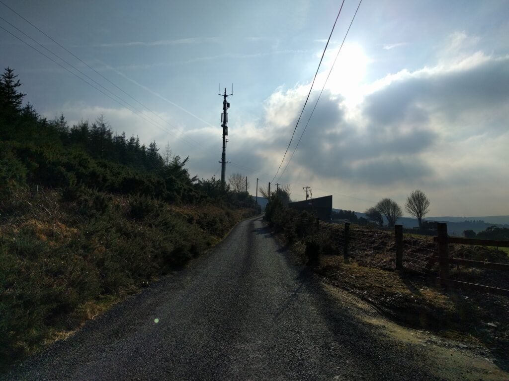
From the carpark, you follow the winding tarmac road through the pine forest. At the t-junction, turn right and head towards the local TV repeater mast.
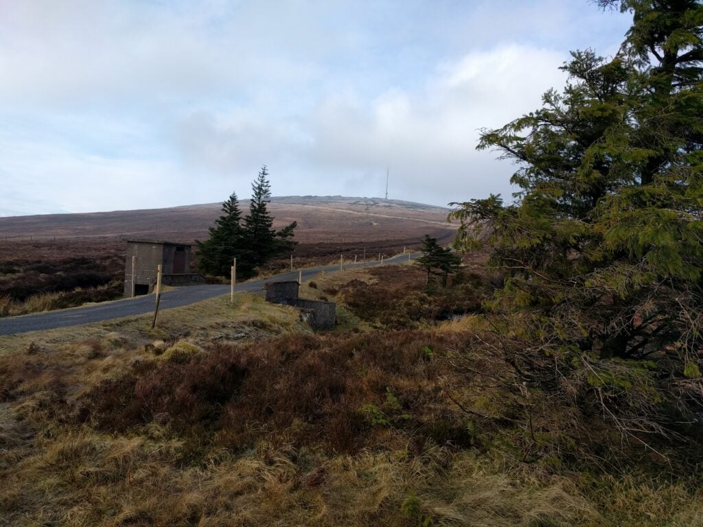
Road heading through the pine forestFollow the road to the transmitter mast
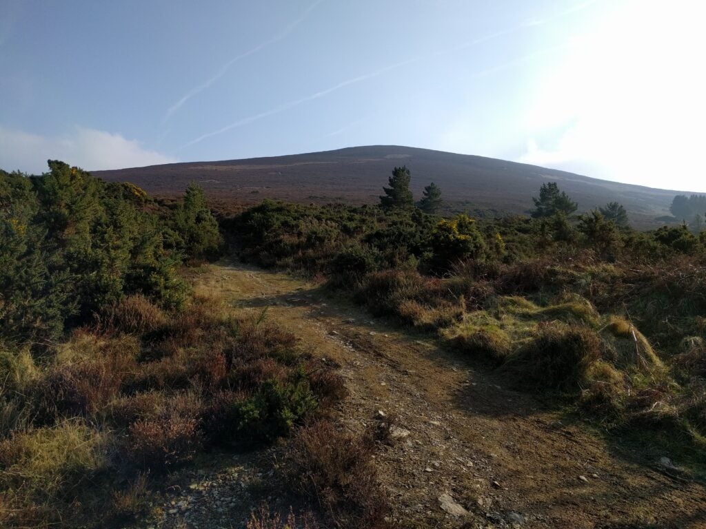
Immediately after the mast, head through the gap in the gorse bushes to get your first view of Trooperstown Hill and the various paths that head to its summit.
The main path starts off as a gentle grassy path but soon switches to a rather steeper path of loose rocks and stone. The steepness wasn’t impossible, and it certainly isn’t a scramble, but it was enough for me to be glad of my hiking pole on the descent. This continues most of the way to the top.
The lower part of the climb up Trooperstown: gentle grassy pathThe higher part of the path up Trooperstown: steeper, loose stones
The summit itself is quite flat, giving lots of space for operating, and unlike Djouce, I saw nobody at all, either on the walk or during the activation.
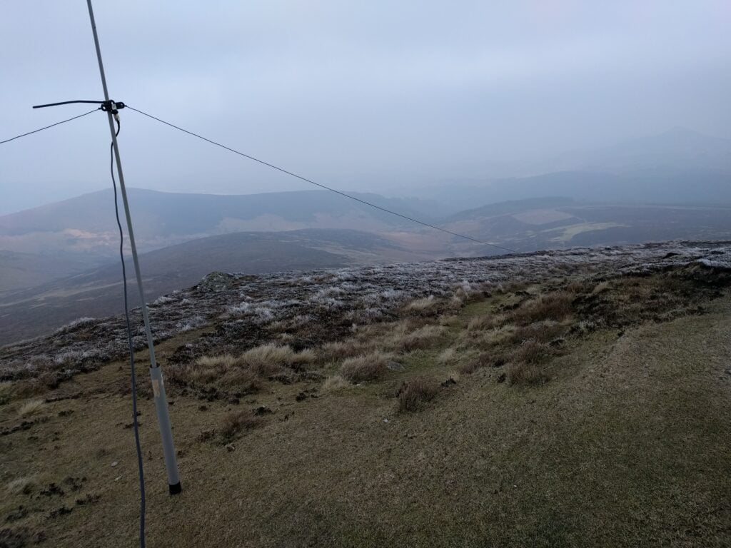
The activation was much more pleasant than Djouce because the wind had dropped unexpectedly, and the sub had started to come out, making this a much more comfortable activation. The lower elevation also meant there was no problem getting the guys into the ground in the heather around the trig point. After one quick QSO with GW0PTP on 2m FM, the other twenty QSOs I made were on 30m CW, including a SOTA-to-SOTA with HB9BIN/P on HB/SO-015.
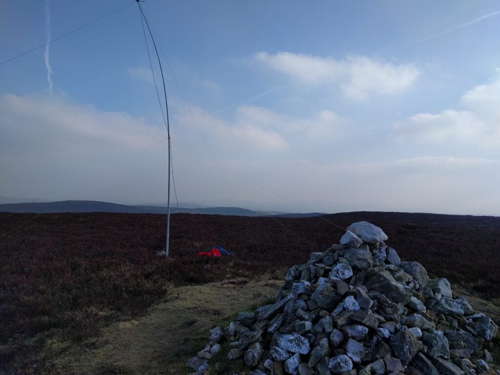
Operating location on Trooperstown, with antenna behind Cairn
The walk up took about 50 minutes, and the descent about 30 minutes.
All-in-all, this was a very nice little hill to operate from but be aware that in the EI association, four point summits do not get winter bonuses. Only six points and above do.
I’ve taken the day off work today (Friday 23rd February) to come to the Republic of Ireland for a weekend doing Summits On The Air (SOTA).
Of course, walking up hills at this time of year is unreliable in terms of weather. It’s especially a risk if you have to book flights in advance, as I did for this trip. It could have been terribly wet, or the roads could have been impassable. The SOTA award recognises the problems of activating during winter by giving extra points as Winter Bonus points to people who go up mountains.
The Wicklow mountains stand out on the SOTA map, as there are loads of 10 point mountains (the highest) in a small area of each other, making them apparently good options for a run collecting a load of Winter Bonus points. And that’s exactly why I chose these mountains for this trip.
The weather has indeed been the main thing I’ve had to battle on this trip. It has been dry today, but the wind has been biting and relentless. A Southerly is normally a warm direction, but today it is coming down from Siberia, across continental Europe, down the English Channel and is then making a sharp turn to the North over the Republic of Ireland. The resulting wind chill has been down to -8c.
EI/IE-005 Kippure
Having flown into Dublin last night, staying at the Premier Inn at Dublin Airport (which is comfortable enough), I picked up a rental car this morning and headed straight for Kippure. This is one of the nearest 10 pointers to the capital city, and is the site of the main TV transmitter mast for the area. It’s a really easy way to get 10 points. Having driven about 40 minutes from Dublin airport (Note: You’ll need to pay the M50 Toll for the ringroad), you leave you car in the layby, and then walk about 3.5kms up the tarmac access road to the mast. This took about 45 minutes for the ascent and 30 for the descent, much quicker than I had projected.
The access road to Kippure transmitter site
A sign at the bottom of the road warns that you should not approach within 200m of the transmitter mast due to the potential of falling ice. With the weather so cold, I considered this a realistic danger, so as soon as I was within the activation zone, I stopped and set up the station just off the road. The wind made the set up quite slow but I was relieved to hear a call on my 2m handheld from GW4TQE/P and GW4VPX/P on SOTA GW/MW-011 while I was still sorting out the dipole, so that gave me my first two QSOs.
As soon as I was ready on 30m CW, I quickly got a number of callers thanks to the SOTA Reverse Beacon Network gateway (a system that automatically decodes callsigns from Morse Code, checks whether that callsign is expected on a hill soon, and if so, alerts everyone immediately). Ten stations from across Europe were worked on morse code in this way.
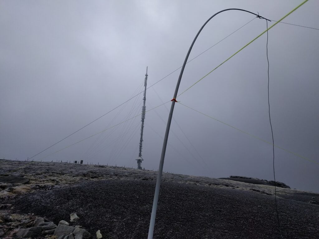
My 30m dipole in the shadow of the transmitter mast on Kippure
Given how easy this summit is, I was amazed it had only been activated 15 times before me.
I was back at the car by 12:00, about 2h15 since I had left it, and about an hour earlier than I had expected. It was then a short 20 minute drive to the next mountain, Tonelagee.
One word of warning – when researching this trip, several sources mentioned that car break-ins are common at Kippure, and indeed there was plenty of broken glass in the carpark. I suspected I was OK on such a cold day as nobody in their right mind would have been out, but I would have had more concern about the suitcase in my car on a warmer day.
EI/IE-003 Tonelagee
Tonelagee is another easy way to get ten points plus Winter Bonus, but it has barely been activated more than Kippure. Just 20 activations before mine. There’s no tarmac access path this time but it’s one of those hills where you get out of your car in a car park at the bottom and basically head straight up. The path is hard to distinguish in the flatter area around the carpark but you’ll soon pick it up if you head in a straight line. That flatter area is incredibly boggy with heather outcrops, so you do need to watch where you are walking. Even when you start climbing, the boggy conditions continued to about 550m ASL, where the slope becomes a little more pronounced.
The lower part of the ascent of Tonelagee, looking down to the carpark. The path is barely visible and boggy!
The next 100 metres of climb were pretty pleasant, but around the 700m point, there was a very hard frost on the ground. The walking became harder as it was a mixture of frozen puddles and hard bog. At least the wind was behind me for most of the ascent. It’s worth noting that the carpark is visible below you until you are almost at the summit – something I always find reassuring for navigation.
The hard frost on the ground on the upper part of the ascent of Tonelagee
Tonelagee has a pretty flat top, meaning there’s a sizeable activation zone. Although it is mainly barren, I found a useful stone shelter where I set up the station out of the wind. It was actually fairly comfortable when I was crouched down operating behind the stone, but the SOTA pole bent almost at right-angles was a continual reminder that it was not so good beyond my little cave… and that was with the SOTA pole not at full height.
The handy shelter I found on the summit of Tonelagee
I had enough shelter to get nine stations in the log on 30m CW. I did call on 2m FM but didn’t hear any replies (which was lucky, as I would have had to stop crouching behind rocks).
By way of indication as to just how cold it was, my smartphone shut down on the top while taking a photo, presumably with voltage drop (batteries don’t like the cold). As soon as it was back in the relatively warm car, it booted up again with 60% battery remaining. Yet another reason not to rely on mobile phones when hiking.
Again, I did this one much quicker than expected. The walk took a similar amount of time to Kippure – about 45 minutes up and 30 down, meaning I was in the warmth of the car just after 3pm.
A trip home to visit my parents in Devon gave me the opportunity for my first SOTA activation of 2018: High Willhays, the highest point on Dartmoor. It’s also the only SOTA summit on the moor, as most tors don’t have sufficient prominence to meet the P150 rule.
This is a nice easy way to get four points (plus three winter bonus points at this time of year). Before attempting the hill, however, it’s imperative to check the Dartmoor Firing Notice, since High Willhays is part of the Okehampton Firing Range, so you need to be sure that the army is not using the area for live firing.
For the easiest walk in, the following is my recommended route:
In the centre of Okehampton, turn up Station Road, signposted ‘Camp’.
Continue until you reach the barrier at the perimeter of the military camp at SX592932.
Drive over the cattle grid and immediately turn right (don’t cross the brook), meaning that you end up following the stone wall on your right
Follow the obvious tarmac track until the tarmac runs out and the road surface becomes rough at SX592913. This is as far as private vehicles are permitted.
Park where the tarmac runs out, by West Mill Tor (Looking North)
Leaving the car here, you’ll have West Mill Tor to the south-west, with the path continuing due south. Walk along the path to where the path splits at SX592906.
Bear right, heading south-west towards Yes Tor, with the obvious flag pole on top. (If there’s a red flag flying on the pole, turn back; it means there is live firing in the area.)
Bear right where the path splits
The path continues to the ridge half-way between Yes Tor (to the north) and High Willhays (to the south) at SX581899.
Bear left and take the barely-visible track that heads straight towards High Willhays. Note that this path can be boggy.
Take the path to reach High Willhays on the horizon
You will soon reach High Wilhays (SX580892), about 50 minutes after leaving the car. It’s a fairly unimpressive tor by general Dartmoor standards, and it’s quite flat, giving a sizeable activation zone, so plenty of room to set up HF dipoles.
My activation today was a very quick one, only getting 6 QSOs on 30m CW. There were some very squally showers of sleet, hail and snow grains that were accompanied by some strong gusts. With the bitterly cold winds, and the fact that my parents were with me getting cold, I was keen not to spend more time on the hill than necessary. Sorry to those I missed.
I was invited to Suffolk RED last evening for the opportunity to demonstrate the sort of equipment I take up hills for SOTA purposes.
For those who don’t know, Suffolk RED (Radio and Electronics Development) is a monthly supra-club event, now into its fourth year, which has proved very popular in East Anglia. The premise is simple: rather than a boring talk in a local radio club, once a month people with something to show can take a table, lay out their goods, and people just mill around, talking, and looking at what is on the tables. Visitors come from a range of local radio clubs. It’s a great opportunity to talk and discover new aspects of our fascinating hobby.
And that’s where my table fitted in. I was next to Rob M0VFC, who was showing off the lightweight kit he had taken to Norfolk Island a couple months ago, while my set of gear was slightly different (no Juma amp and more navigation aids!). It should be noted that my equipment list isn’t particularly special, nor is it perfectly weight optimised (I still use RG-8 Mini coax instead of RG-174, for example). The event was a great starting place for introducing some people to SOTA, however.
So here’s what I took:
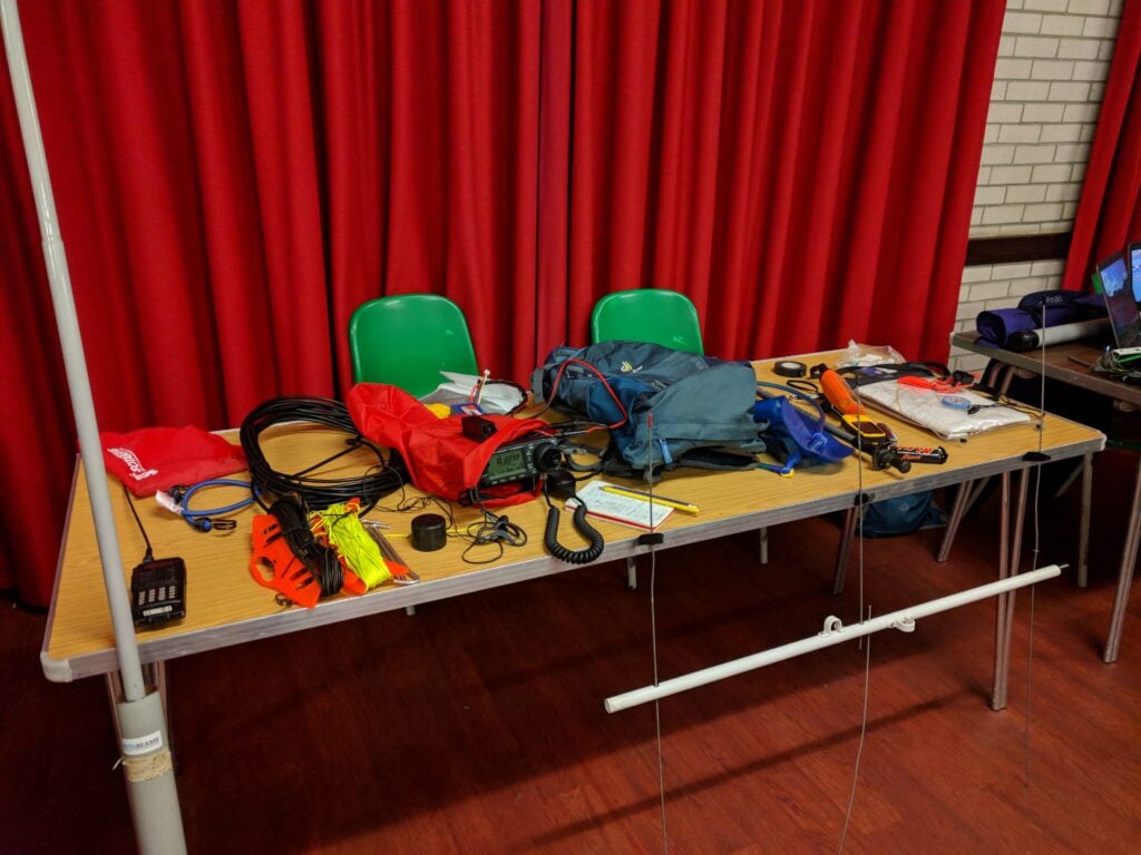
SOTA gear on the table at Suffolk RED
From left-to-right:
The radio equipment:
10m DX-Wire fibreglass pole
FT-60 handheld
Bungee (useful for attaching the fibreglass pole to trig points, fences, etc.)
30m dipole on kite winder
SOTA Beams guying kit with high visibility cord on kite winder
RG-8 Mini coax
Tent pegs
IC-706Mk2G with sports headphones (which don’t fall out in the wind) in a waterproof bag
In August 2017, I spent a few days doing some of the Summits on the Air summits in the Pyrenees.
Monday 31st July
Trône du Roi (F/PO-187): Attempt 1
After flying into Toulouse and getting a hire car (which took an unexpectedly long time), I drove to the Trône du Roi (King’s Throne) to operate, again this took a longer time than I expected. From what I’d read before leaving, Trône du Roi is a relatively easy two points, and wasn’t far from my hotel, making it an ideal option for a late afternoon activation before checking-in.
I made a basic error, however. In my haste to get through the airport and on the road as quickly as possible, I’d forgotten to pick up water. When I got to the hill, therefore, I not only found myself lacking hydration on a relatively warm afternoon, but I also realised it was rather later in the day than I had expected. I got to the 1000m elevation point (about a third of the way up) and then decided to head back down. I’d at least stretched my legs before tomorrow.
Sadly aborting my 1st SOTA in the Pyrenees: after airport delays & not finding path, I don't have time. But this is 1000m on way up F/PO-187 pic.twitter.com/TCH63T7Ek6
Today started with a reasonably early start, as I wanted to do two big (8 point) mountains on the Spanish border, and my hotel was already 1.5 hours away from where I’d need to park at the Col du Portalet.
Getting there was no problem and I was soon on my way up the Pic d’Estremère. On the face of it, this is another fairly easy option. It’s right next to the car park at the former customs post and – on the map at least – there are some obvious paths to the top. The reality was that it was rather steeper in places than I had expected, and certainly one that needs hiking poles. The bigger problem was that the paths were less easy to find than I had expected, other than the big GR10 cross-Pyrenees route, which doesn’t actually go to the summit. On my ascent, I made the mistake of not staying on GR10 for quite long enough and ending up on a particularly steep face instead, from which I had to make a quick retreat. Nevertheless, I eventually picked my way to the top and, once there it’s a lovely operating site. There’s lots of space within the activation zone and there was nobody else on the mountain at all. I was quickly into a decent pileup and, despite the odd problem with the antenna falling over, it was a very pleasant activation. As with all my contacts during this trip, I was exclusively on 30m CW.
Loading map…Scroll or tap to load the interactive map
Distance
—
Elevation gain
—
Elevation loss
—
Max elevation
—
Waypoints
—
Elevation profile
Soum de Grum (F/PO-149)
After returning to my car for lunch, my plan had been to tackle the Pic d’Anéou, just on the other side of the road from the Portalet, another 8 point mountain. By now, it was getting quite warm, however, and I had also read that there’s a tricky section requiring poles near the summit… and one of my poles had broken on my way up Estremère! As a result, I decided to switch to my Plan B: the Soum de Grum. This is about a one hour drive from the Portalet, enough time to crank up the air conditioning and cool down before starting another ascent.
The main website I used to research routes, Topopyrenees.com, describes (in French) the Soum de Grum as being a nice easy walk, suitable for children, up decent paths from the car park at the Col d’Aubisque. If that name sounds familiar, the car park has been the site of many iconic Tour de France mountain-top stage finishes.
The website wasn’t wrong at all. However, as I’d been driving, clouds had started to form and, by the time I was on the Aubisque, visibility was almost nothing. Despite this, I had no problem at all with following the path and finding my way to the summit of the Soum de Grum very quickly. The path isn’t particularly steep at any points, and you don’t need to use hands. It is also perfectly possible to do without poles.
Once there, there was relatively little space on a bit of a ledge, although this may have partially been by sensation as I couldn’t see where the sides of the mountain were in the fog, and so I was playing it a bit safe. Consequently, I found myself operating with the dipole almost lying along the ground, but it still wasn’t a problem to get the required four QSOs and make my way down. In fact the most challenging part of the activation was still to come: driving down hairpin bends with steep drops if you misjudge them, in an unfamiliar car in limited visibility is rather more difficult than walking along a clear path!
At the summit of Soum de Grum SOTA F/PO-129 (note I'm not on Aneou as planned). QRV in abt 15min but will be quick due to WX (in cloud) pic.twitter.com/MKb7Opbj4O
(Note: I got the summit reference incorrect in this tweet: F/PO-149 is correct)
Wednesday 2nd August
My original plan for the day had been to climb Pic Lasnères (F/PO-138) and Mardas (F/PO-126) in a loop, following a combination of the routes described at Pic Lasnères and Randonée Lac du Montagnon. Mardas would have been a first activation and looks pretty do-able (although note what the description says about needing poles on the way down).
These mountains are reached from the village of Adyius and following a path over 6.5km to the parking place. When I got to Adyius, however, the road was blocked both by preparations for a local fête taking place that day and a more permanent sign indicating no entry except to residents. In my hire car, I wasn’t prepared to take the risk of going down a track I wasn’t supposed to be on.
Luckily, the Trône du Roi, which I’d failed to activate on Monday, wasn’t too far away, so I turned around and went there instead.
Trône du Roi (F/PO-187): Attempt 2
The Trône du Roi is reached along about 3km of slightly rutted, gravel (not tarmac) track. It’s not bad, however, and I didn’t feel concerned about doing in the car.
This time I had plenty of water and, at this point in the morning, plenty of time. As I climbed, the temperature became steadily hotter and by the time i reached the summit it was in the high 20s Celcius. I was actually rather glad that I hadn’t been able to get to Lasnères and Mardas, as in such heat I think the loop might have been a bit difficult.
The path up the Trône du Roi was initially under trees and some of the stones were a little slippery in the morning dew. Once out of the trees (and under the heat of the sun), the path climbs steeply and fairly unrelentingly for its whole length. I never felt in danger but there are places where it’s fairly close to the edge of the mountain, so you definitely need to watch where you are going, both on the ascent and descent.
The summit itself was much more uncomfortable. This is another fairly narrow summit with steep drops off the side, it was fairly busy with people, covered in sheep droppings and with swarms of flies everywhere. You can even see some of the flies in the tweet below.
In addition to the lack of space, I felt an inexplicable amount of vertigo up here (probably brought on by the heat and disorientation caused by the flies, which were crawling all over my face, in my mouth and even getting stuck in the CW paddle!). Trying to guy my SOTA pole would probably have resulted in it falling off the mountain even if I could keep it away from other people, so I literally lied the dipole legs along the grass and hoped the elevation would do the rest. It did, and as soon as I had four QSOs, I was off the summit as quickly as possible.
Loading map…Scroll or tap to load the interactive map
Distance
—
Elevation gain
—
Elevation loss
—
Max elevation
—
Waypoints
—
Elevation profile
Issarbe (F/PO-171)
By now, I was feeling pretty tired in the heat of the day, so I opted to drive a bit further to bask in the air conditioning(!), heading to Issarbe. Before coming to France I’d not only come up with my Plan A list of targets, but also a list of other options. From that research, I knew that Issarbe should be potentially one of the easiest 4-point options in the Pyrenees chain. Issarbe is a ski resort, and so has a decent road leading nearly to the summit. In summer, reaching the summit is just a matter of a short walk up the ski runs and then a couple of decent paths to get you into the activation zone. That’s exactly what this mountain proved to be like, and I had a wonderful short activation making a lot of contacts. There’s plenty of space for putting a dipole out here.
Over the course of the 20 minutes or so that I was operating, I gradually became aware of a cool wind starting to blow up and shadows becoming weaker. Looking up at one point, I realised that a repeat of yesterday was underway – cloud was forming in the valleys and starting to convect up the side of the mountains. There was a risk that we could plunge into near-zero visibility once again and, although I was happy enough at my ability to follow a ski run back to the car, I didn’t really want to do another drive down a mountain in such conditions. As a result, I had to stop while people were still calling (something I try not to do) and quickly pack up.
A few minutes after the photo below was taken, you couldn’t see the ski station buildings from the summit.
Loading map…Scroll or tap to load the interactive map
Distance
—
Elevation gain
—
Elevation loss
—
Max elevation
—
Waypoints
—
Elevation profile
Friday 4th August
Miramont (F/PO-238)
After a rest day on the beach, my original plan had been to return to Toulouse via Pic de Cau (F/PO-260), a nice-looking 2-point hill just off the motorway. Unfortunately, I’d been unable to to find any details as to how long the walk was likely to take, where best to park, etc. After the issues I’d had at the airport on my way into France, and with some stories in the press about extra time being needed for passport controls in France, I didn’t want to take the risk of being late, so instead I decided to go to another of my Plan B options: Miramont.
Although only one-point for SOTA, it’s a nice easy one. Just off the main road from Tarbes to the pilgrimage site at Lourdes, drive into the village of Julos and walk up a track to a mobile phone base-station site. That’s really all there is to it. I set up the station just outside the transmitter compound (still easily within the Activation Zone) and within just a few minutes had a nice small pile-up.
Last sota of the trip done. F/PO-238 Miramont – though there's not many monts to be miré'd in this cloud. pic.twitter.com/bLAauXpg8a
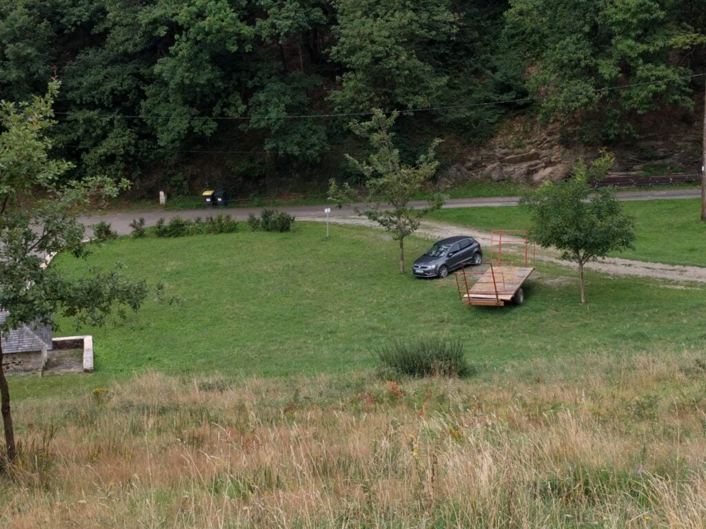
Just for reference, speaking to a local tractor-driver, the ‘approved’ parking place in Julos is on the gravel area between the two trees in the photo below (where my hire car is), right at the start of the track up Miramont.
Overall, this was a wonderful trip. Although I didn’t get to everywhere I’d originally planned, I had a very pleasant time in the mountains and bagged 35 SOTA points in three days.