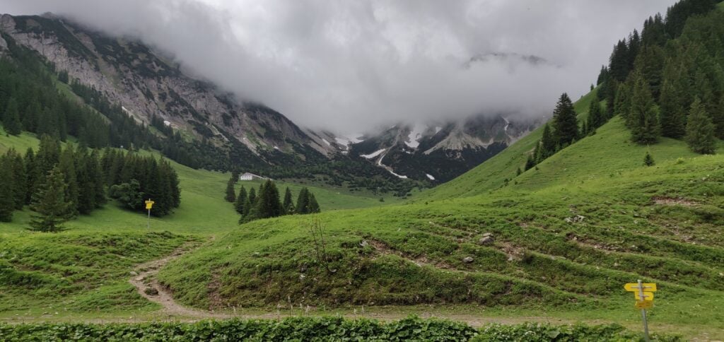
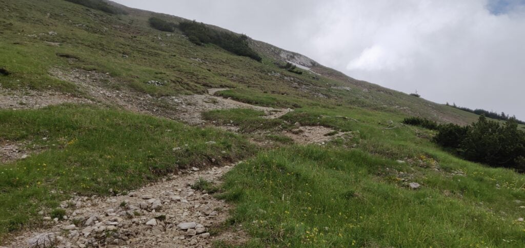
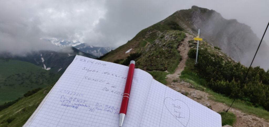
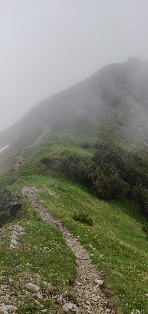
Tag Archives: sota

Pyrenees SOTAs 2023: EA2/NV-021 Saioa & EA2/NV-023 Zuriain

After yesterday’s activation of EA/NV-012 and EA2/NV-170, on 9th July 2023 I again drove into Spain to activate the two 6-point summits of Saioa and Zuriain. These are very easily activated as a pair and are almost always done together.

To the starting point: Col de Sagardegi

The starting point for this walk is on the NA-1740 road at the Alto de Artesiaga. This is in theory a pretty viewpoint with a fairly large carpark, but today was a very cloudy day and so visibility on the road was quite limited as I drove through the fogbanks, and there wasn’t much to see when I parked up at all.

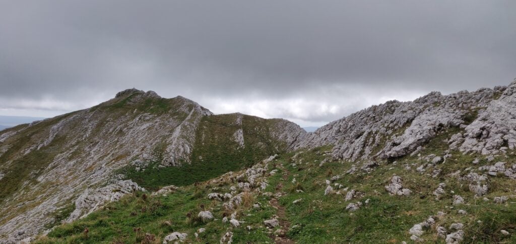
Most published routes for the pair of summits are in a loop, starting by ascending the northern or north-eastern sides of Saioa, then descending the southern slope to head towards Zuriain. With the low cloud, I struggled to find the (slightly less obvious) path up the northern side of Saioa, so instead I opted to continue on the obvious route to the Col de Sagardegi between the two hills and then to activate them both from there. It took about 35 minutes to reach the Col de Sagardegi from Artesiaga.
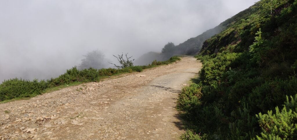
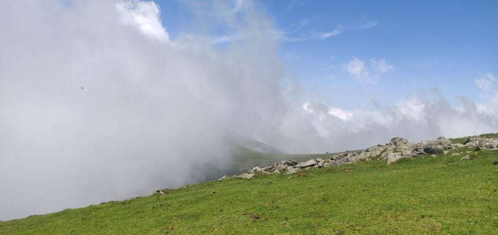
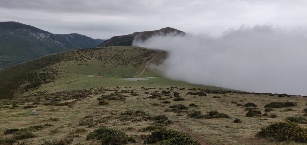
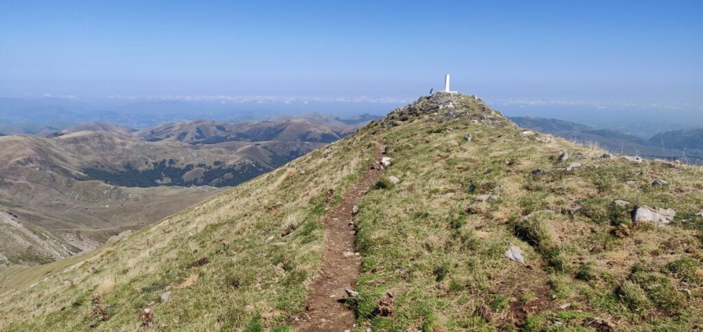
The route to the col between Saioa and Zuriain (one of the few gaps in the fog!)

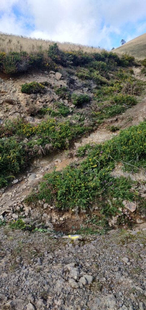
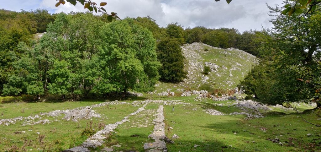
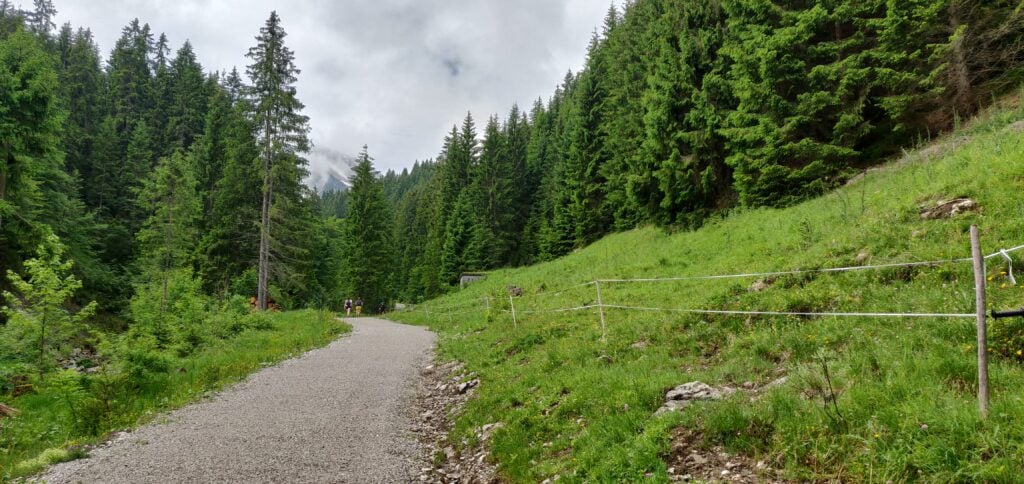
The route to the Col de Sagardegi is a lovely wide stony path at first but becomes a little muddy as it goes through a forest. Around 43.043,-1.55374, you leave the main path to the right to start heading up to the Col (note the red and white marker in the photo below, showing the path).
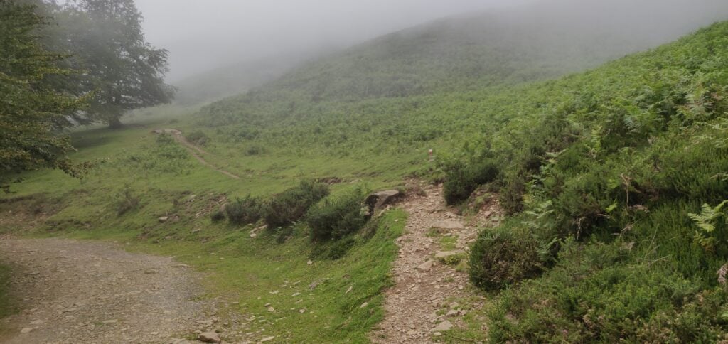
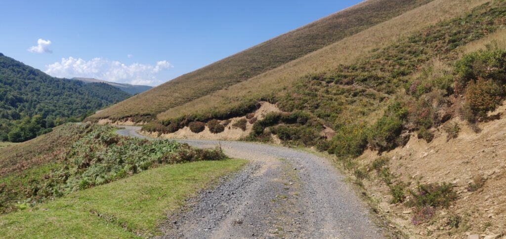
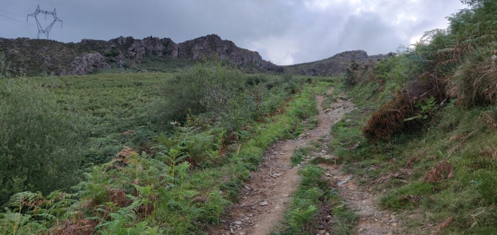
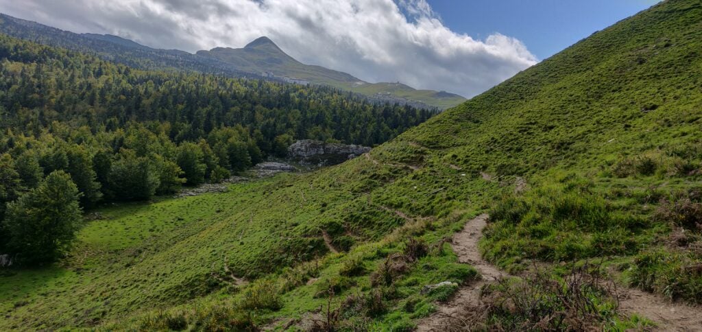
The path to the Col

By the time you arrive at the Col, there is little more than a grass track but I was now well above the cloud layer and there was a lovely clear blue sky.
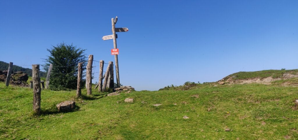
Col de Sagardegi

EA2/NV-012 Saioa

From the Col, and as shown on the signpost, it’s a short 30 minute climb straight up the side of Saioa. This is a reasonably steep grassy path, but with no problems as long as you have hiking poles.
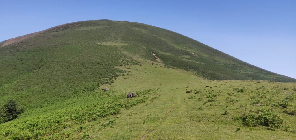
Saioa

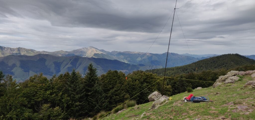
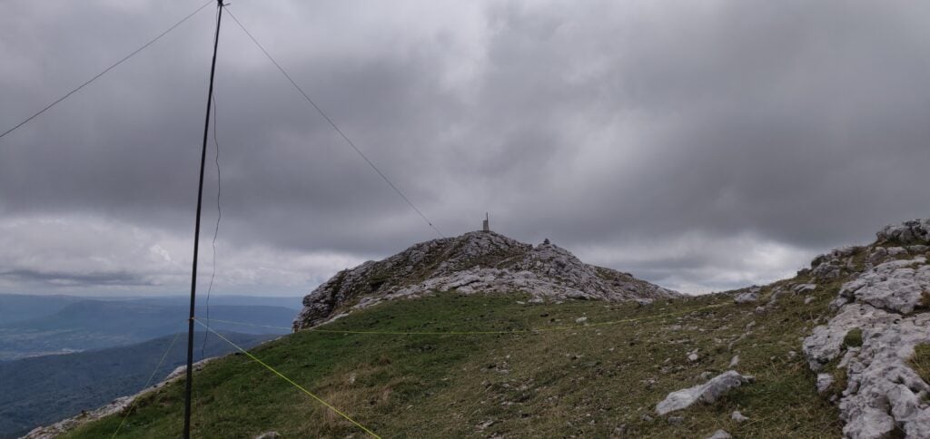
At the top of the hill, there is a very wide grassy activation zone with plenty of space to set up an HF antenna near the trig point. I made 18 QSOs on 30m from here. Incidentally, if you noticed the model of a space rocket next to the trig point in my photograph on yesterday’s hill, it is part of a local initiative where different hills have different models to brighten up the summits. Saioa has a model of a typical Basque house.
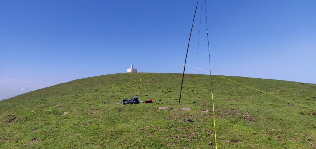
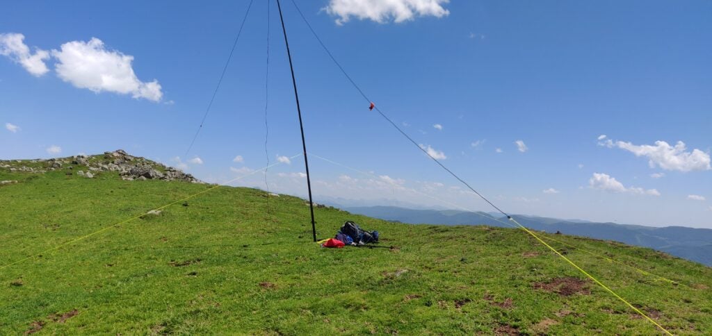
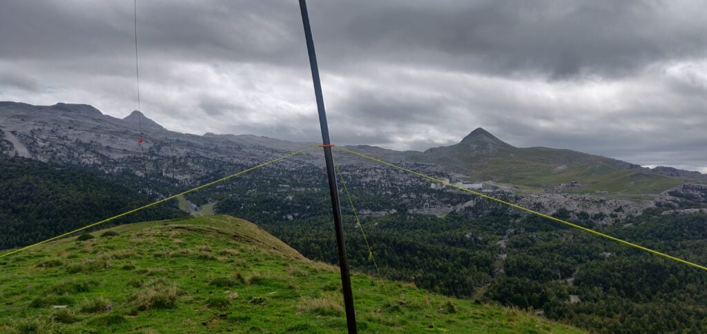
My antenna just below the trig point on Saioa

EA2/NV-023 Zuriain

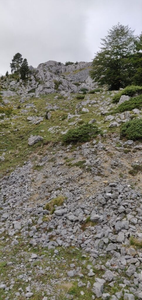
After descending Saioa back to the Col de Sagardegi, it’s about a 40 minute climb to Zuriain. This is slightly less steep but also slightly longer in distance. Most of the height gain comes while heading south, and then you turn more south-west and head along a mainly-flat wide ridge before reaching Zuriain’s summit. As you go over the ridge, the path is slightly less obvious but is marked by short posts in the ground with red and white markings on them. The last few meters are then over some loose rocks following a fence-line, again without particular difficulty as long as you watch your footing.
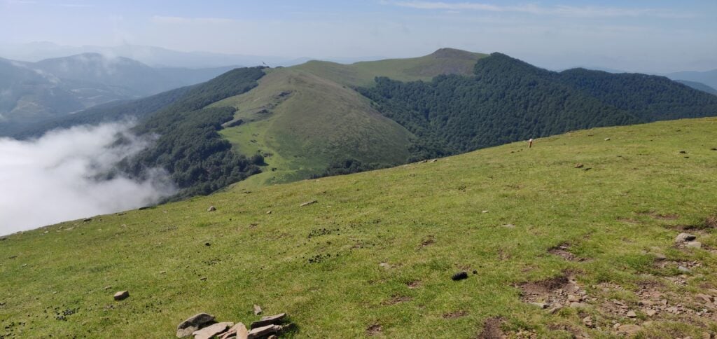
The route up Zuriain seen from Saioa

Zuriain’s summit is much more rocky but the fence-line provides a useful point for bungee-ing an antenna pole, thereby avoiding having to get the guying kit out. This allowed me to quickly make another 15 QSOs on 30m. By the way, the model next to the trig point on Zuriain is a lighthouse.
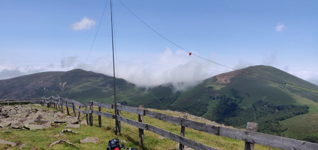
My antenna on Zuriain’s summit

As I was operating, I became aware that the typical Pyrenean afternoon cloud was starting to form and cover the area around the Col de Sagardegi, so instead of trying any other bands, I decided to pack up quickly and head down. I’m glad I did as once I started to descend back down towards the Col, I quickly found myself in thick fog and having to watch my navigation a bit more carefully.

I had originally hoped to activate the four-point summit of Larrakarte (EA2/NV-173), which is just over the road from the Alto de Artasiaga during the afternoon, but the route up that hill was completely covered in cloud and, worried about descending the mountain road in the fog, I decided to abort that plan.
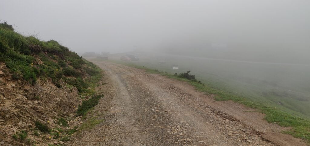
The car park at Alto de Artasiaga, just visible through the fog

The whole 10km walk, including activation of both summits, took about 5 hours and made for a lovely hike.

Loading map…
Distance
—
Elevation gain
—
Elevation loss
—
Max elevation
—
Waypoints
—
Elevation profile

Pyrenees SOTAs 2023: EA2/NV-012 Ortzantzurieta & EA2/NV-170 Txangoamendi

I returned to the Spanish Pyrenees in July 2023 to spend a couple more days activating the summits in Navarra, in the western Pyrenees. I was actually staying in a hotel in Bayonne, France and went back to F/PO-245 Xoldoko Gaina (which I had last activated in 2019) on 6th July. Then, on 8th July, I drove into Spain to tackle Ortzantzurieta (EA2/NV-012) and Txangoamendi (EA2/NV-170), both of which are worth 6 points.

To the start point: Lepoeder Peak

These two hills are actually very close to EA2/NV-022 Urkulu, which I activated last September but after the troubles I had driving to that summit, I instead took the road through the valley and across the border at Arnéguy, before parking up behind the small chapel at Ibañeta on the main N-135 road.

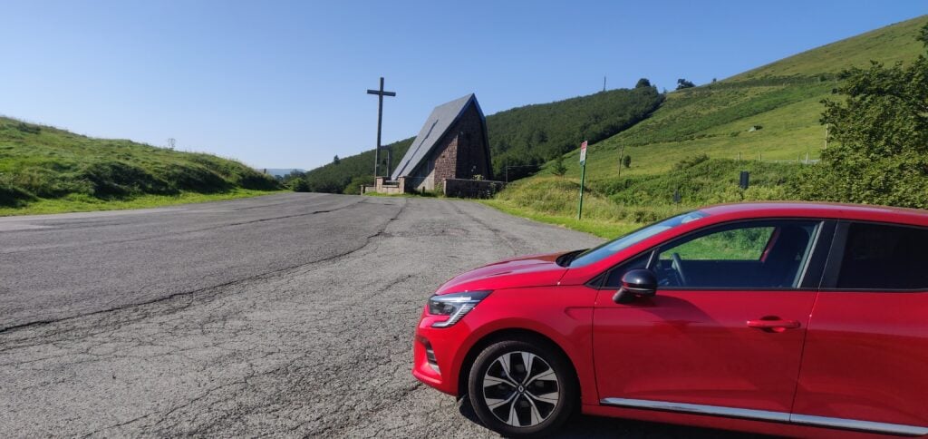
My hire care at Ibañeta

Many routes up to these two hills actually start from Lepoeder Peak, and there is a road (the NA-2033) from Ibañeta up to Lepoeder, but some research on Google Streetview had suggested it was quite poorly maintained with plenty of potholes and loose gravel, which I didn’t want to take my hire car over. I therefore opted to add about 2.7km each way to the hike to walk along the NA-2033 instead of driving it.

There is therefore very little to say about the first part of the walk. It’s a gentle ascent alongside a narrow tarmac road. Plenty of people have walked this way and there are clear shortcuts to cut off some of the hairpin bends the road takes.

At the end of the road, you reach Lepoeder Peak. This is a Col (not a SOTA!) known for being on the Santiago de Compostela pilgrimage route through the Pyrenees, and as such it is well-frequented. For my purposes, it was also the point from both which Ortzantzurieta and Txangoamendi could be reached. In terms of timings, it took me about an hour to reach Lepoeder Peak from Ibañeta.

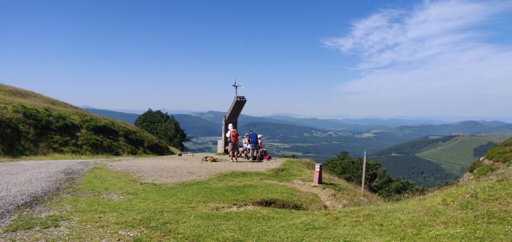
Lepoeder Peak, on the Santiago de Compostela trail

EA2/NV-012 Ortzantzurieta

I decided to tackle Ortzantzurieta first. This is, to be honest, a very gentle path, initially downhill from Lepoeder Peak, and then climbing back up to the summit. It took about 40 minutes. There is a gravel track up the hill to a transmitter mast, but I wouldn’t do it in anything other than a 4×4. The footpath is fairly clear and over grass, roughly following the track but cutting off the hairpin bends.

The summit is actually a little way away from the transmitter mast and there was no evidence of QRM on either 30m or 20m, which is where I was operating. I made 8 QSOs on 10MHz and 17 QSOs on 14MHz fairly easily.

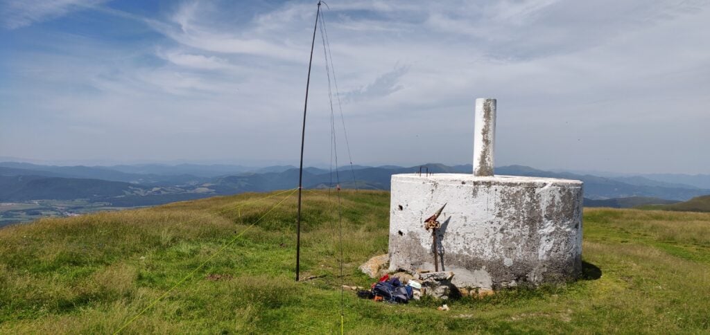
My aerial set up at the trig point on Ortzantzurieta

It took about 30 minutes to descend from Ortzantzurieta back to Lepoeder Peak the way I had come, where I had a quick sandwich. It was then time to head to Txangoamendi.

EA2/NV-170 Txangoamendi

Txangoamendi is a little further away from Lepoeder Peak to the north. The first part of the walk there is actually backwards along the Santiago de Compostela route, which is a very well-made wide gravel path at this point, with regular signage. Part of the way along the route, there’s also an emergency refuge.

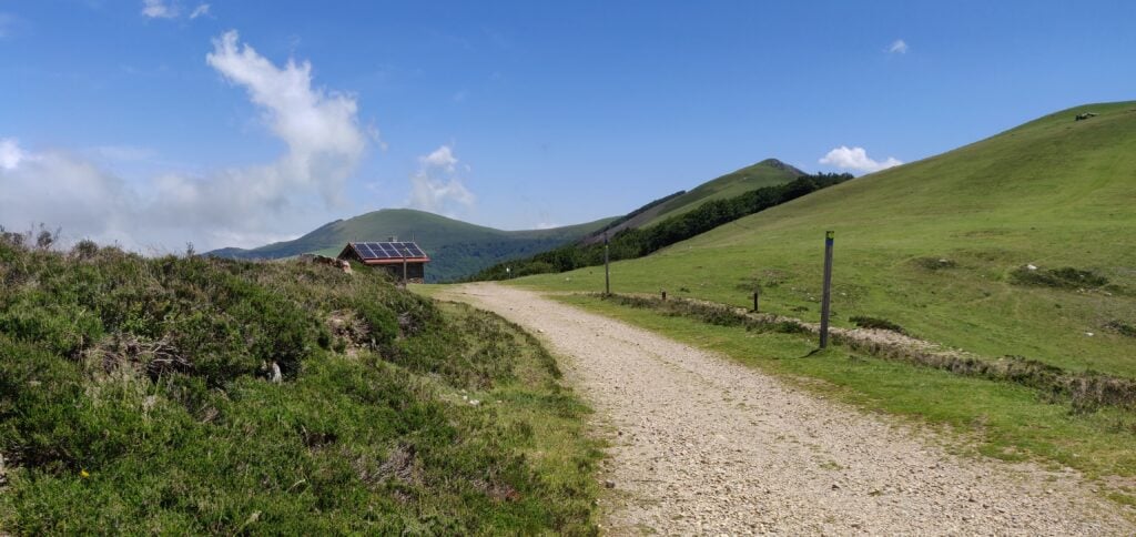
The emergency refuge on the Santiago de Compostela path

As the Santiago path goes through some woodland around 43.0385, -1.283 you need to leave the main track and head to the right. There’s some open land here with a signpost and a clear grass path up towards Txangoamendi.

Looking at the map and satellite imagery, it’s a little unclear whether this is a walk along the ridge or whether the path is wider. There are no sheer drops and it’s actually a fairly easy walk. My main obstacles were having to wait for first a bull to cross my path and then some horses who were blocking a slightly narrow section just before the activation area!

Txangoamendi seen from Lepoeder Peak

Once on top of Txangoamendi, there’s no trig point but plenty of flat land and I managed to get the aerial up quickly to work 15 QSOs, all on 30m (the IARU / WRTC contest had started, and so I avoided 20m). It took about 1h20m to reach Txangoamendi summit from Lepoeder Peak.

My antenna on Txangoamendi’s summit

I had initially hoped that I might be able to get back to Urkulu from Txangoamendi and activate that hill once more, but time was starting to run out and, as is typical in the Pyrenees in the summer, clouds were starting to build that could impede my descent a bit, so I decided just to return back to the car.

Clouds started to build on my descent from the summit

The total walk, including activations of both summits, took me about seven hours for the 17.2km. To help get your bearings, on the map below, Lepoeder Peak is the point just north of Burregieta, where all my routes join.

Loading map…
Distance
—
Elevation gain
—
Elevation loss
—
Max elevation
—
Waypoints
—
Elevation profile

Pyrenees SOTAs 2022: Day 2 – EA2/NV-022 Urkulu & F/PO-251 Mont Arrokagaray

After yesterday’s successful and sunny climbs of Pico de Orhy and Arthanolatze, I was looking forward to another easy day in the mountains on 31st August 2022 but it was somewhat more difficult.

Urkulu EA2/NV-022

Overnight, there had been a substantial thunderstorm with rain in the Pyrenees and the drive into the valley from St. Jean Pied de Port was rather wet. My first problem was that I only had an underpowered Fiat Panda for my hire car, and on the slippery roads which had just seen their first substantial rain for months, there was no way I could get up the tiny steep roads from the D933 at Arnéguy that my sat nav wanted to take me on. After several false starts, I made it back to St. Jean Pied de Port and onto the much better D428. This back-tracking already made me substantially behind schedule, but as I climbed, the low cloud and rain turned, of course into fog. The reduced visibility in itself would have been bad enough but this was compounded by the fact that the D428 forms part of the Compostela pilgrimage route and my route was packed with pilgrims walking in the middle of the road, even on the hairpin mountain bends, with little to no visibility. By the time I reached the Refuge Orisson, on the way towards Urkulu, I decided that the drive had become too dangerous for me to be comfortable, and I pulled in for a while to see if the fog would lift. It didn’t. After 30 minutes pulled in, and still surrounded by pedestrians, I took advantage of a brief spell of extra visibility to continue uphill, hoping that I would eventually break out of the fog. Luckily, my hope was correct and a couple of kilometers further on, I found myself able to see again.

Eventually, I made it to the car park at the foot of Urkulu. Like Ori yesterday, the car park itself is on the border with Spain, but unlike Ori, there is no way to cross the border by car as the D428 continues on the French side.

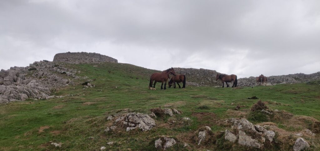
It was in this car park that I had my next problem. A herd of horses took a strong interest in my hire car and started licking it and one even tried to sit on the bonnet. Luckily I was still in the car at this point and reverse gear was swiftly engaged before any damage was done, but I certainly left the car with some unease about the state I would find it in on my return!

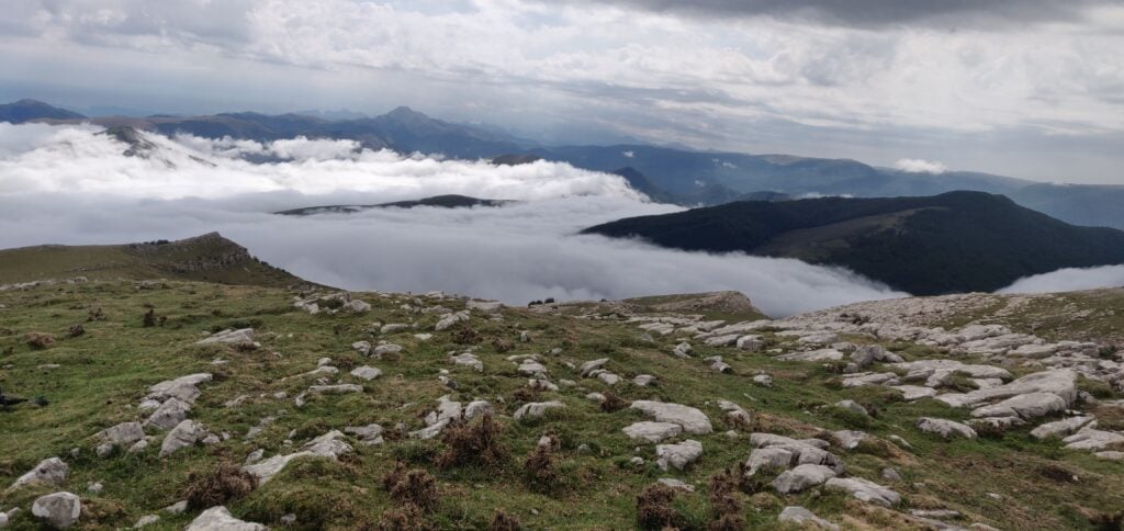
As I started climbing Urkulu, the fog had caught up with me and started to envelop the road I had just driven up.

The ascent of Urkulu, looking back at the car park and the fog

The walk up Urkulu itself is pretty much trivial. It isn’t very steep and it is directly uphill. This was very welcome given the likelihood that I might have had to descend with no visual aids!

Once at the top, you are rewarded with the Roman fort that Urkulu is famous for, believed to date back to the year 28 BC. Apparently there are views from here over the whole of the Aquitaine plain but I’ll need a future return visit to confirm that.

The Roman hill fort on Urkulu

The summit is only a few tens of metres further on from the fort and has ample space for antennas, although it is quite rocky.

The summit of Urkulu

Urkulu is a 6-point summit for SOTA purposes, and I was able to make some 18 QSOs from here (all but one on 20m CW). I would have made more but, in the middle of the pile-up I started to hear thunder not too far away. Not wishing to be caught on a mountain in a thunderstorm with an antenna and with cloud hindering my ability to descend, I decided that a quick evacuation would be required.

Fortunately, I reached the car safe and sound and the horses seemed to have lost interest in the vehicle too, which was undamaged. Visibility was only about 20m though, so the decent down the mountain was very slow and was made additionally dangerous by a very stubborn horse that decided to stand right across the single-track road on a hairpin bend. Only after five minutes of revving the car engine did I eventually persuade it to move.

I had, by the way, hoped to climb Txangoamendi EA2/NV-170 at the same time as Urkulu since both routes start from the same car park but with the delays and inclement weather I didn’t have time.

As I said, the climb up Urkulu is fairly gentle: it’s only 200m ascent in 800m of walk. It probably took about 30 minutes to walk up (although I didn’t start my GPS until I was part of the way up the hill, as there were lots of other things on my mind!) and about 20 minutes to walk back down.

Loading map…
Distance
—
Elevation gain
—
Elevation loss
—
Max elevation
—
Waypoints
—
Elevation profile

Mont Arrokagaray F/PO-251

Mont Arrokagaray is a small one-point hill in the Pyreneean foothills near Cambo-les-Bains, on the way back from Urkulu heading towards the coast at Biarritz. As a much smaller hill out of the mountains, it was unaffected by the fog I had on Urkulu, and the rain had stopped by now also.

I parked at the start of the track at 43.316°, -1.379°, which is not where I’d actually planned to park. This initially took me down what turned out to be a private driveway before I corrected that, so if you repeat this route you want to head north-east from the road as you will be going back behind the hill.

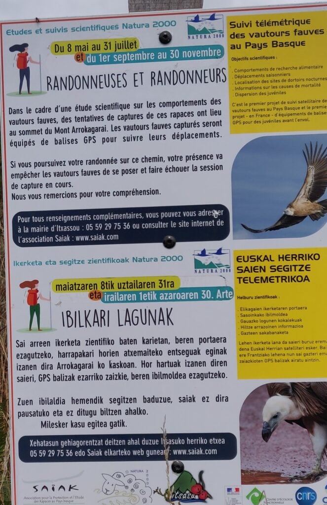
The only really notable thing to say about the climb is that a sign (in French and Basque) at the start of the path requested walkers not to climb the hill 8th May – 31st July or 1st September – 30th November. This was due to a scientific study to capture and tag the local vulture population. Luckily, today was 31st August so it was the last opportunity to climb the hill before the winter!

The request not to climb the hill

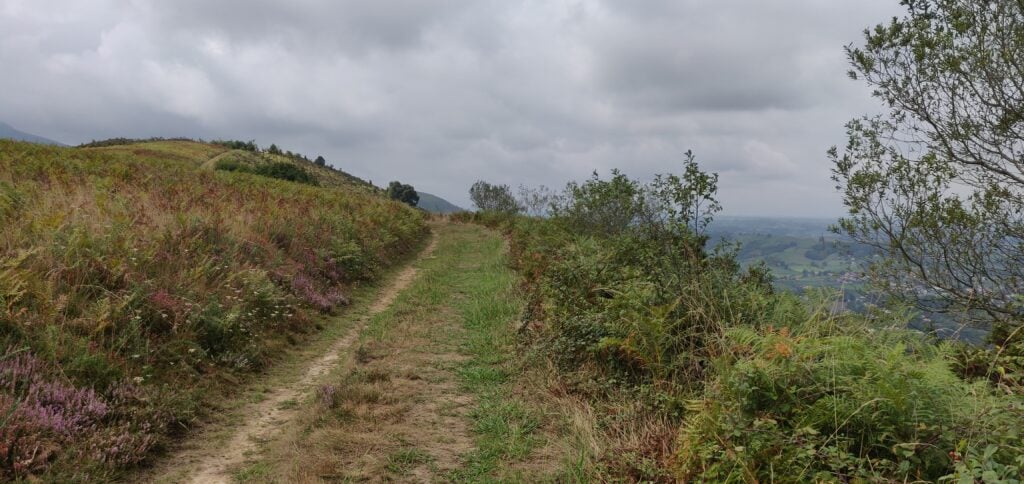
The path itself is a gentle grass track with pretty views over the local Basque countryside. The summit has a rounded top and the activation area is very large. Conscious of the local flora and fauna, I was careful to try to avoid setting up my aerial off the path, so I went a bit beyond the summit itself to set up in a slightly more open clearing. Luckily, there was absolutely no-one else around, so I wasn’t in anyone’s way.

The ascent of Mont Arrokagaray

This was a lovely spot to operate from and I was able to make 19 QSOs without having to descend in any hurry. Again, all but one of these was on 20m CW. I must take this opportunity to thank Christian F4WBN who made a QSO with me on 2m FM from every one of the four summits I activated, and who was clearly watching me on APRS as he was already ready to call me as soon as I reached the top! Christian is a well-known SOTA chaser who lives nearby in Bayonne.

The climb (once I went the right way) took me about 20 minutes and the descent took about 15 minutes.

Loading map…
Distance
—
Elevation gain
—
Elevation loss
—
Max elevation
—
Waypoints
—
Elevation profile

Pyrenees SOTAs 2022: Day 1 – EA2/NV-003 Pico de Ori (Pic d’Orhy) and F/PO-173 Arthanolatze

At the end of August, I was able to return to the Pyrenees to do a few new (to me) SOTA summits over a couple of days. On 30th August 2022, this trip started with a couple of mountains, the Pico de Ori and Arthanolatze.

Pico de Ori EA2/NV-003

The ten point Pico de Ori (the Spanish name) is easily reached by the Puerto de Larrun, where there is ample parking space, and is located right on the border between France and Spain. From a SOTA perspective it counts as being in Spain, hence the EA2/NV-003 reference number representing Navarra. In French, the same mountain is called the Pic d’Orhy, and when I was researching the climb, most of the websites I found used that name, so it’s worth being aware of both.

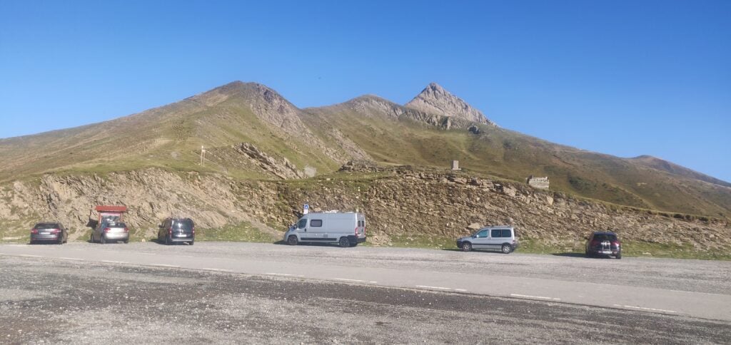
The Puerto de Larrun, forming the border between France and Spain. Pico de Ori is the tall, pointed, summit in the background

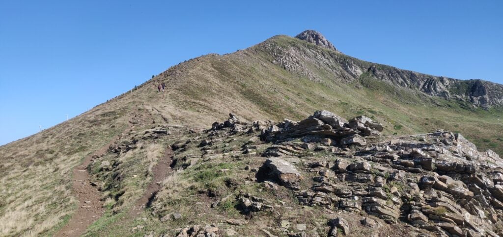
The ascent starts as a fairly easy walk on a path that runs behind the first two summits in the image above. This was a fairly easy walk and not excessively steep.

The start of the path is relatively easy

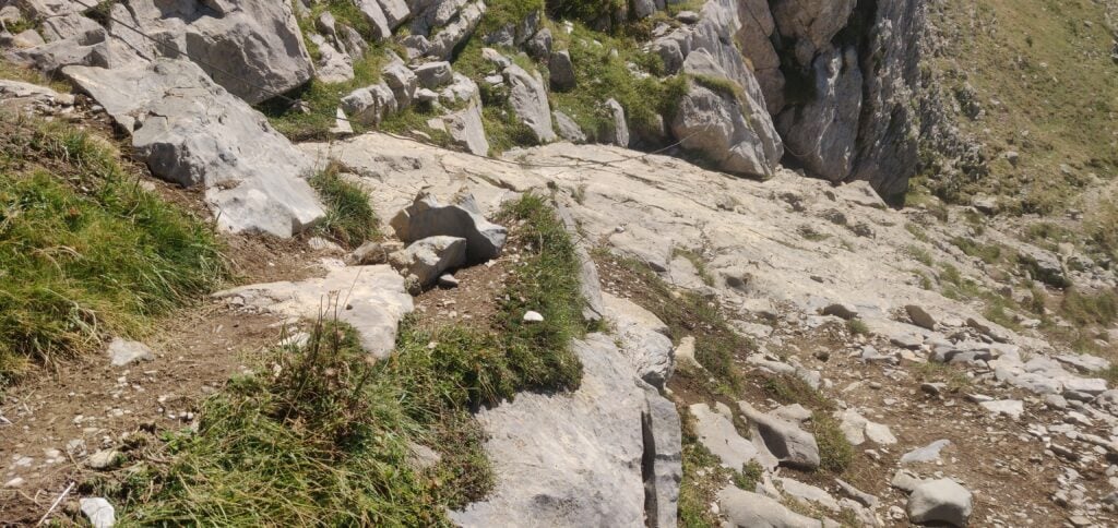
There is, however, one very short section that was slightly more of a challenge for me, where the path crosses a piece of fairly smooth rock. Some thunderstorms the previous day had made this rather slippery. A steel rope has been anchored into the rock to provide a bit of a handhold, but it is fairly slack. Fortunately, some fellow walkers were able to help tension it for me, so I could hoist myself up.

The one tricky section crosses some slippery rock

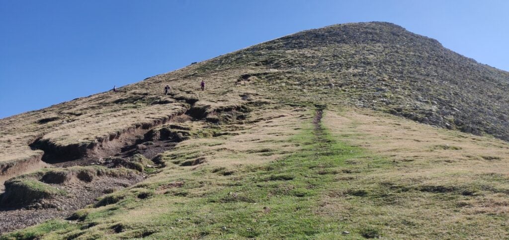
Once past that section, the path again flattens out and comes to a col at the back of the Pico de Ori. From there, it is a fairly steep climb straight up the summit, but no scrambling required.

The path from the col to the summit

The summit is in the form of a cliff face. Although it is quite long, there is a steep drop on the French side and the Spanish side, where the path is, also drops away quickly, meaning that there isn’t much space for HF antennas. This is also a very popular summit as it’s the western-most mountain over 2000m in the Pyrenean chain and a fairly easy hike. Consequently, I just made 5 QSOs as quickly as possible (two on 2m FM, and three on 20m CW, with a low antenna to keep it out of the way as much as possible) and left the summit as fairly quickly.

The summit of Pico de Ori

The ascent, which is about 400m of climb over 2.8kms, took me about 75 minutes. The descent took about 65 minutes.

Loading map…
Distance
—
Elevation gain
—
Elevation loss
—
Max elevation
—
Waypoints
—
Elevation profile

Arthanolatze F/PO-173

About fifty minutes’ drive north of Pico de Orhy is Arthanolatze, in the hamlet of Iraty in the Ossau valley. (Lovers of French cheese will probably recognise Ossau-Iraty from the sheep’s cheese that is produced here.)

This is a four-point summit and a very pleasant walk. One post I read recommended parking at 43.041°, -1.024° but there is now signage here saying that this is an emergency access route for ambulances. I therefore parked at the Col de Bagargi, where there is a café/restaurant and other facilities. However, this does mean that the walk is about 500m longer than the one starting from the recommended parking and, furthermore, it starts with a steep downhill on road, and therefore a steep uphill section on the return.

Once you make it down that road you reach the recommended parking point where a gravel track leaves the road and heads into some trees. Once through the trees, continue on the flat gravel track heading west.

The gravel track

This track brings you slightly downhill to a stream running in a valley. Continue along the track and you then have a choice. If you are very observant, on the right, there is a small path heading away from the track at 43.0435°, -1.0324°. You can take this path to head directly up the hill (which is the route I took on the descent). I, however, missed this turn on the ascent and so the other option is to follow the main gravel track which zig-zags up the hill.

It is easy to miss the small path heading directly up the hill

Either way, you come out to a small refuge just below the summit. At this point turn off the main path and follow the path on your left marked with yellow posts. Again, many of these are barely visible and some are more trip-hazards than obvious markers!

The posts marking the way are barely visible above the ground

Again, I got this wrong on the ascent and incorrectly continued on the main path past the hut, meaning that I then had to scramble up the side of the hill on tracks made by animals rather than the much easier ‘official’ route.

Once on top of Arthanolatze, there is a lot more space for antennas, and it’s much less busy or well known than Ori, meaning I had the place pretty much to myself.

My aerial on the summit of Arthanolatze

I was able to make 12 QSOs from here (11 on 20m CW and one on 2m FM) before I had to back up for the drive back to my hotel.

The ‘ascent’ took me 80 minutes over the sub-optimal route, including about 100m of descent and 200m of ascent over about 4.3km. The ‘descent’ was only about 3.6km and took me about an hour.

Loading map…
Distance
—
Elevation gain
—
Elevation loss
—
Max elevation
—
Waypoints
—
Elevation profile

Basque Country SOTAs: Xoldoko Gaina

Xoldoko Gaina F/PO-245 (1 point)

After the frustration of the Pic de Guilhers yesterday, I left my hotel in St. Jean de Luz early, with the aim of climbing Xoldoko Gaina (aka Choldocogagna) before heading to Bilbao for my return flight back to the UK.

The path for this one starts in the village of Biriatou, just on the French side of the border by the A63 motorway. By the way, there are lots of toll booths on the motorway around the border area, so be prepared to have to pay several times if you are leaving the motorway – it’s only a couple of euros each time, though.

In the village, you can park in the car park behind the church and walk up the hill to pick up the road heading east from the village. At the fork at 43.3327, -1.7397 bear right and the tarmac gives way to a path leading up through woodland and then into open countryside.

The path up Xoldoko Gaina

The obvious path leads you up onto the ridge – it isn’t a difficult ascent – roughly following the high voltage electricity line that crosses the river (which at this point forms the French/Spanish border) in the valley below. Once you are up on the ridge, there’s a fantastic view Hendaye/Irún (in practice the same town but Hendaye is in France on the north side of the river and Irún is on the Spanish side) and out over the Bay of Biscay and up the Landes coast.

The view from the ridge

From here, it’s only a little further uphill to the summit, which has a nice flat area for setting up an antenna.

It was still fairly early in the morning as I’d parked in Biriatou at 08:30 local time, and reached the summit about 55 minutes later. From the top I made seven contacts before packing up and descending the 45 minutes back to the car. The walk has a 290m ascent over about 2.9km.

Leaving Biriatou, I made a quick stop for fuel in Irún (where diesel for my hire car was cheaper than in France), before heading to the airport.

Loading map…
Distance
—
Elevation gain
—
Elevation loss
—
Max elevation
—
Waypoints
—
Elevation profile

Basque Country SOTAs: Pic d’Issarbe and Pic de Guilhers

Pic d’Issarbe F/PO-171 (4 points)

I’d done the Pic d’Issarbe on my last trip to the Pyrenees, and it’s a lovely, easy four-point walk at this time of year. The site is a minor ski resort in the winter and as such has a car park which was almost deserted on this September morning.

The car park at Pic d’Issarbe seen from the ascent

The ascent up the hill is simply a matter of choosing one of the many ski-run paths and following it to the top. The summit itself is marked by a small metal cross and there’s a reasonable amount of space within the activation zone for an HF dipole, even though the terrain slopes away quite quickly. It was a very pleasant morning and I was slightly ahead of my schedule, so I made 28 QSOs on 30m CW before descending.

The ascent took me 25 minutes for a climb of about 160m vertically over only just over a kilometre horizontally on the wide, grassy, paths. The descent took a little less.

Loading map…
Distance
—
Elevation gain
—
Elevation loss
—
Max elevation
—
Waypoints
—
Elevation profile

Pic de Guilhers F/PO-283 (4 points)

For the Pic de Guilhers, I opted to follow EA2EEB’s track from the SOTA Mapping website, which starts from the car park at the Pierre St Martin ski resort. This was not the best idea but more on that later.

Under usual circumstances, the car park is only about 20 minutes’ drive from the Pic d’Issarbe, which is why I’d opted to do both mountains on the same day. However, I hadn’t allowed for meeting a large flock of sheep which surrounded my car and I spent several minutes inching forwards trying to follow the road without herding them.

The other reason that the Pierre St Martin car park is not ideal is that it means you start the climb from higher than the summit. The walk starts with a steep descent down a rocky gully at the side of the road to reach the valley floor, before you have to ascend the hill itself. A preferable option would have been to start from the car park at 42.9849,-0.7429, which would have saved a chunk of the walk.

The walk starts by descending a steep path from the road to Pierre St. Martin

Once at the bottom of the gully, you follow a couple of ski runs to join the main D132 for about a kilometre before leaving the road again. This is some pretty boring walking on tarmac, still heading downhill, but you soon get your first proper sight of the Pic de Guilhers and the challenge it represents.

The Pic de Guilhers from the road

As you can see, the mountain is a steep ‘pudding bowl’ with apparently no path up it. As you get closer, you see that there are many paths that actually skirt around the bottom of the hill – some may be animal tracks others caused by erosion – and intuitively I initially tried to pick my way up to the highest of these to gain some high and then go up from there, again following EB2EEB’s GPS track. I found it just too step, however, and fearful of sliding down the hill I decided to continue around the side of the mountain. It looked like there might be a slight shoulder behind the hill.

The many tracks at the bottom of the hill
If you try to climb up from the bottom, the hill quickly becomes very steep

My map reading was right. I’d recommend that you actually follow one of the middle paths around the side of the mountain without worrying too much about gaining height at first. Once you have skirted around the side, aim for 42.9931, -0.7330 and then follow the narrow path to where the trees meet the side of the mountain at 42.9948, -0.7326. From here, it’s a relatively easy ascent through the heather to the summit.

Once you are at the top, it’s fairly flat, and there’s plenty of room to set up a wire antenna. Sadly, conditions weren’t great, so I only made 10 QSOs from here on 30m CW before packing up.

As you might have gathered, this is a bit of a beast of a hill for just four points. Not only did I park higher than the summit and have to walk downhill to start the ascent, but I lost a lot of time trying to pick the right path on the ascent and tryign to gain height prematurely, only to have to carefully pick my way along steep, narrow paths. Consequently, the climb took me 1 hour 20 minutes to walk 3.85km horizontally, and ending up 30m lower than the car park where I had started, but still 160m above the valley floor below. The descent took only ten minutes less, and was exhausting with the final climb back up the gully to the car park. With that, I headed the 2h30m to my hotel in St Jean de Luz, from which I’d go up Xoldoko Gaina tomorrow.

Loading map…
Distance
—
Elevation gain
—
Elevation loss
—
Max elevation
—
Waypoints
—
Elevation profile

Basque Country SOTAs: Aratz

I’ve recently returned from a few days in the Basque Country, which included a few summit excursions. Although I’m aware that I’m behind on writing up some of my other SOTA trips over the summer, I’ve decided to type up my notes on this recent trip first before I forget the detail.

Aratz EA2/VI-003 (6 points)

Having landed in Bilbao, Spain, I hired a car and drove for about 90 minutes to the car park which serves both Aratz (EA2/VI-003) and also Aitxuri (EA2/SS-001). The car park itself is located near the end of the GR-282 road at 42.9351, -2.3032. The GR-282 itself is a concrete road but perfectly decent to drive over.

From the car park, you head on the path through the trees and over the bridge. The path soon opens out to a wider area, but it is obvious and without any particular navigational challenges. Note only that at this point you are heading away from the summit – this is because the summit itself is above a steep cliff face, and so the path heads around the side in order to reach a shoulder where the access is easier.

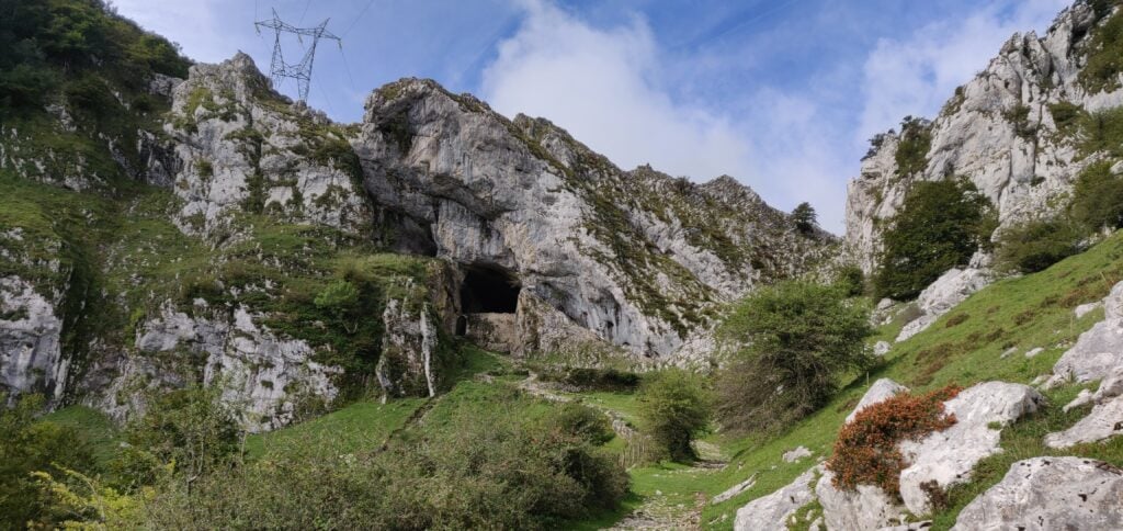
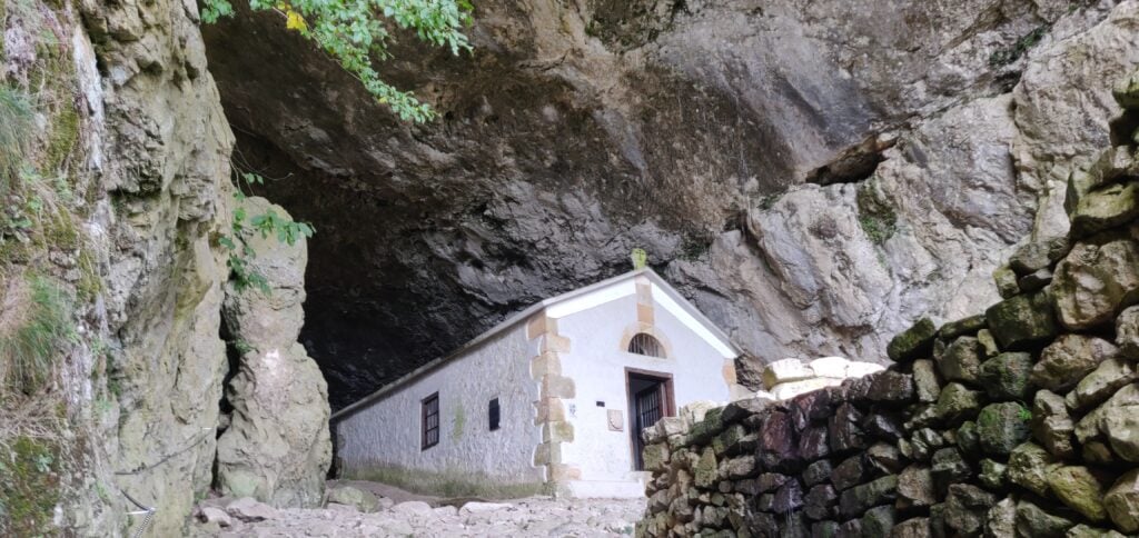
At 42.9352, -2.3153 you reach the fascinating natural tunnel through the ridge which contains a chapel at the site of a former hermit’s dwelling, the San Adrian’s hermitage.

The tunnel at San Adrian’s hermitage
The hermitage chapel

Continue walking through the tunnel but be wary of where there are drips onto the well-worn cobbles – the stones were quite slippery in places.

After the tunnel continue on the main path and where the route splits follow the white and red paint markings to the left, signposted to Gazlaren Ibilbidea. This brings you to another fascinating feature of the walk – an intact Roman road taking you back into woodland.

Looking back down the Roman road

Shortly after you’ve picked up the Roman road, watch for where the road bends around to the right and look for a small, muddy track through the trees straight ahead of you, marked with yellow dots of paint. This is the route to the summit of Aratz.

Once back out of the trees, you are almost at the summit. The path is narrow but it’s not near the edge and it felt perfectly safe. This final section is the steepest and there’s a misleading false summit to get over before you see the final destination, marked with a trig point.

The final ascent

Having reached the trig point, there is a fairly large area, though sloping, that’s within the SOTA activation zone where you can set up an antenna.

My antenna set up just below the trig point

On a clear day, the summit of Aratz would have a stunning view out to the Bay of Biscay to the North and across the plains of the Ebro valley to the South. As such, the radio takeoff was pretty impressive and I was pleased to make 13 contacts on 30m CW within about 10 minutes.

The ascent (about 580m vertically over 4.4km horizontally) took me 90 minutes and the descent would have taken a little less had I not stopped for lunch. This wasn’t a hard climb and was a very interesting walk.

I had originally planned to go on to EA2/SS-001, since the walk there only diverges from the path to Aratz after San Adrian’s hermitage. However, with a long drive into France still ahead of me and having started slightly later than I had hoped, I decided to head straight back to the car.

Loading map…
Distance
—
Elevation gain
—
Elevation loss
—
Max elevation
—
Waypoints
—
Elevation profile

Friedrichshafen SOTAs: Kühgundkopf and Burgkranzegger Horn

I’ve now returned from a long weekend at the annual Ham Radio exhibition at Friedrichshafen, a beautiful city on the shores of Lake Constance in southern Germany.

The normal way for British people to get to FDH as it has become known, is to fly to Zurich and take the train to Romanshorn before then getting the ferry across the lake. Instead, M0WUT and I opted to fly to Munich and rent a car, so we’d have our own transport for a few SOTAs on the Sunday and Monday.

There are a lot of very easy summits near the rally. There are two just about 30 minutes north of the town, DM/BW-854 and DM/BW-358, which we did on the Monday. Most activators also head west to the area around Tuttlingen, where there are a number of other very quick activations in the DM (Germany – Low Mountains) SOTA association. Indeed, I had planned a comprehensive route around those hills for our trip but with the weather forecast to be hot and sunny, Dan and I instead headed east towards the Alps.

DL/AL-049 Kühgundkopf

The 8-point Kühgundkopf is about a 90 minute drive from Friedrichshafen in the foothills of the Alps. It hadn’t been activated for five years and there was relatively little information to judge how difficult the summit would be from SOTA sources, other than DF3MC’s track on the SOTA maps site. A bit more searching gave a few more clues but also more confusion: many sources will tell you that this mountain, which straddles the German and Austrian border, has two names (Kühgundkopf in German and Wannenjoch for Austrians). However, on the ground, the signposts are clear that Wannenjoch is the promontory with a cross on it just below the summit, while Kühgundkopf is the highest point (at coordinates which match the location in the SOTA activation manual). Google Maps, meanwhile, has
Kühgundkopf marked at the location of Wannenjoch. If that isn’t complex enough, many descriptions of the walk say that this is a really strenuous, difficult walk requiring climbing gear. But that’s only true if you are doing a popular circuit with Iseler. The walk only as far as Kühgundkopf is fine.

Despite the forecast good weather, the rain and drizzle became increasingly frequent as we approached the mountains and we were starting to doubt our choice but it fortunately dried up in time for the start of our walk. The cloud didn’t lift for the ascent, however, which meant that we missed out on some spectacular views. A further problem was that most shops are closed on Sundays, and so we didn’t come prepared with any lunch. Fortunately, a small convenience store in Schattwald, the first village into Austria, was open for 2 hours on a Sunday morning (10am-12pm) and so we purchased enough to make sandwiches.

As I described, this mountain straddles the border and in fact the path up it starts from the Austrian side. You start in Schattwald in the large carpark at the foot of the chairlift (47.5119, 10.4596). This cost a very reasonable €3 for a full 24 hours. Follow the yellow signposts initially from the carpark to the top of the chairlift (signposted Bergstation -Wannenjochbahn). This is an easy, gravelled, path through the trees to the head of a stream, where you take a sharp right turn (again, signposted) onto a slightly narrower, but still quite obvious path.

The gravel path through the trees
The path is clearly signposted
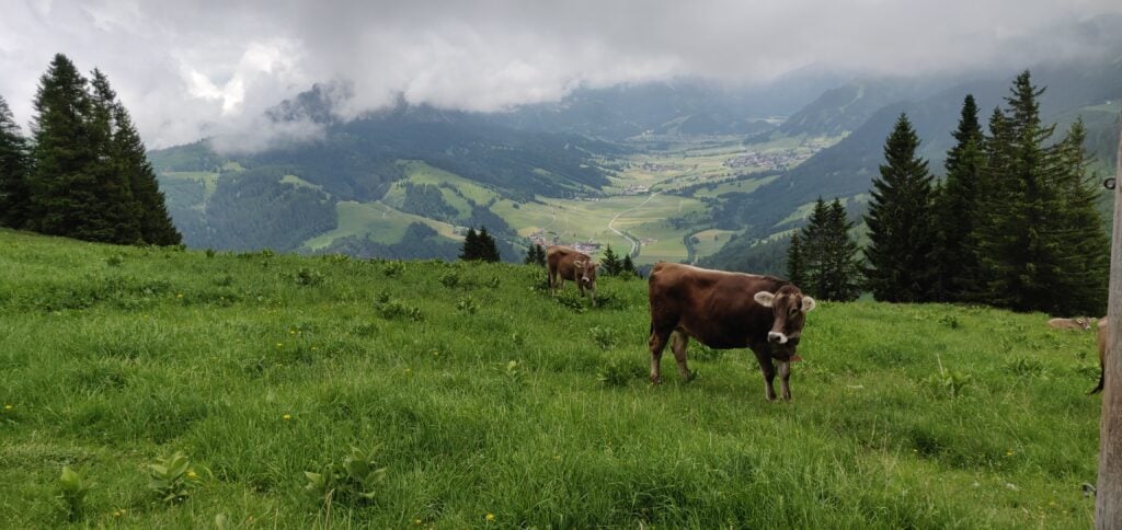
Cows graze on the lush mountain pasture

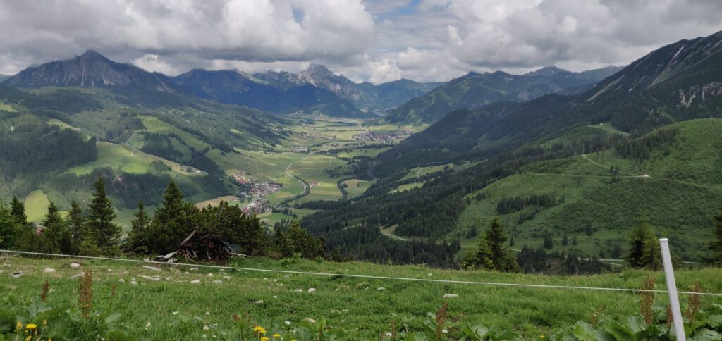
The path eventually comes out at the top of the chairlift, where there’s a restaurant (although the service here seemed to be non-existent). There’s also a spectacular view back down the valley.

The view from the top of the chairlift
(Photo taken on the descent, by which time the cloud had cleared a bit)

The chairlift’s top is only about two-thirds of the way up the mountain, however, so we needed to press on into the cloud and continue climbing. Again, this is just a matter of following the signs to Wannenjoch. The path becomes narrower and with slightly more loose stone and dirt but it’s still relatively easy walking without particular difficulty.

The ascent to Wannenjoch

You soon enough come out to the large wooden cross at Wannenjoch. There’s a metal box attached the cross, which contains a visitor’s book and collection of pens for you to mark your visit for posterity, before heading on to Kühgundkopf.

Our callsigns in the Wannenjoch visitor’s book

As the photo above suggests, the final ascent to Kühgundkopf is along a short section of ridge. It’s fairly wide and didn’t feel unsafe but it is a long way down, so you do need to watch your footing a bit. Once again, it’s clearly signed to Kühgundkopf, so there’s little chance of going wrong. By the way, the path here is the border, so you’ll probably have one foot in one country and the other foot in another country as you walk along here!

The ridge to Kühgundkopf

At the top, there’s a trig point. There’s also a little grass space to set up an antenna just below the path. We got occasional glimpses of a spectacular view as the cloud came and went. On a clear day it would be amazing up here!

Antenna set up at the summit

Between us, Dan and I made 19 QSOs on 20m CW. This is a great introduction to Alpine SOTAing, and I’m so glad we opted to do the longer, more serious, walk for the eight points than to have got potentially more points for less reward to the west of FDH.

The walk totals about 7.9 miles / 13.3km and climbs from a starting height of about 1100m to the summit at 1907m. The ascent took 2 hours and 20 minutes, and the descent took 1 hour and 50 minutes. This means that, having started our hike at 09:00 UTC, we were back at the car by 14:20 UTC, with plenty of time to tackle another (smaller) hill.

Loading map…
Distance
—
Elevation gain
—
Elevation loss
—
Max elevation
—
Waypoints
—
Elevation profile

DL/AL-181: Burgkranzegger Horn

Bergkranzegger Horn is just off the main road back to FDH, situated about 20 minutes north of Kühgundkopf, making these an ideal pair to do together.

The starting point for this one is just outside the village of Mittelberg (warning: there are some very narrow streets in this village!). We parked in a layby at 47.6358, 10.4236 although the carpark at 47.6347, 10.4207 might be more suitable. From here, it’s an easy walk along the road, which quickly degrades into a track. It’s a simple matter of following this path, upwards, alongside the fields. We stopped at a fence just before the summit but easily within the activation zone of this two-point hill.

Follow the track alongside the fields
The view from the top

This is a very quick 2 mile walk, taking just about 30 minutes to reach the top, after just about 120m height gain. The difficulty came instead from an unexpected source: the cows in the fields all have cowbells, and they were very interested in our operation. Unfortunately, one of these cowbells was exactly the same frequency as our CW sidetone, making it not only incredibly noisy, but also almost impossible to hear what you were sending!

Dan keeping the cows entertained!

Conditions were also a bit tougher from this lower altitude and between us, M0WUT and I made just 10 QSOs on 20m CW. It also turns out that cows are rather partial to licking fibreglass poles, so packing down also had its challenges!

Loading map…
Distance
—
Elevation gain
—
Elevation loss
—
Max elevation
—
Waypoints
—
Elevation profile

After a tiring but rewarding day, and with the sun now out, we arrived back in Friedrichshafen in time for dinner before tackling some of the nearby hills the following day (Monday).

Isle of Man SOTAs

This week, I’m on the GT3PYE/P DXpedition to the Isle of Man with the Camb-Hams. As part of the trip, Rob M0VFC, Colin G4ERO and I have been activating all the SOTA summits on the Isle of Man.

It’s perfectly possible to do them all in a single day, amassing 18 points from the five hills, but we chose to split them over two days.

GD/GD-001 Snaefell

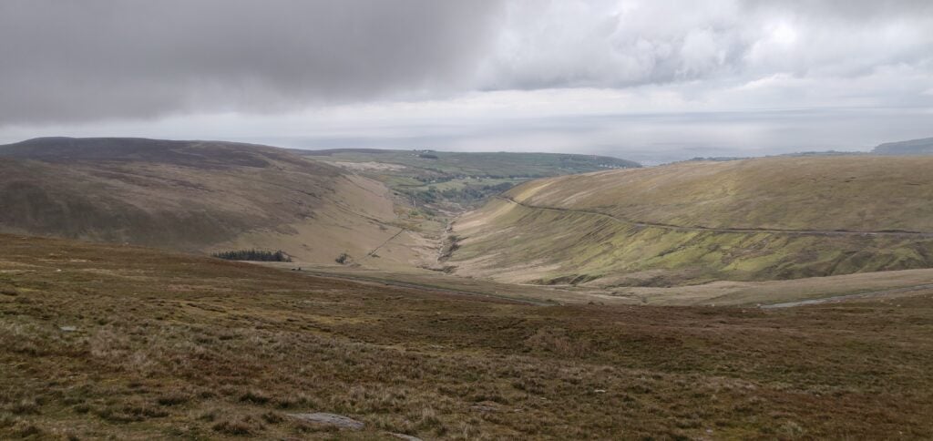
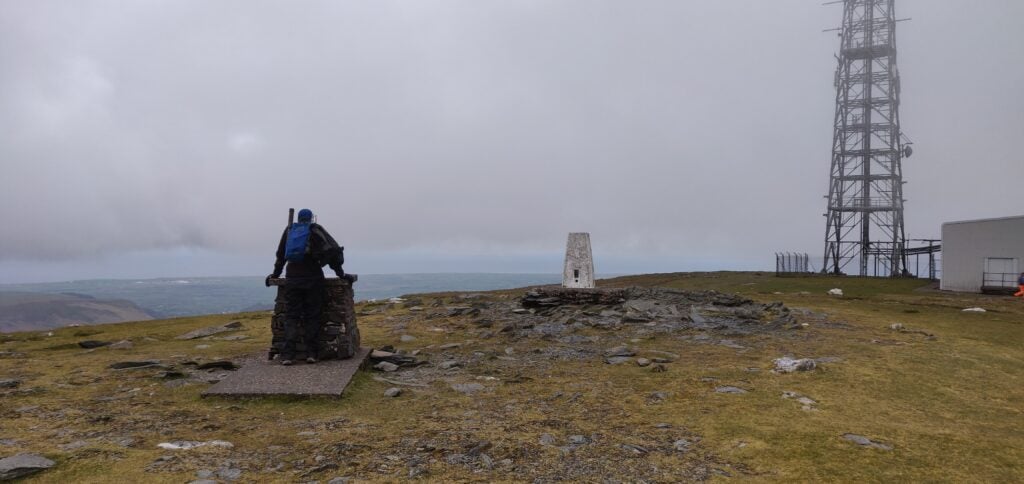
Our first stop was the highest point on the island, Snaefell, worth 8 SOTA points. It’s a really easy walk starting from the car park at SN 398 868 and then walking straight up on the obvious path. It’s only moderately steep, rising just over 200m in about a kilometre.  The ascent has some views over the rest of the island, although we did it in cloudy conditions and so we didn’t have the most impressive sight. At the top, bear right behind the tram stop and there is plenty of space to set up beside the transmitter masts. We didn’t notice any significant QRM from the masts on HF, but 30m was certainly very slow and getting the requisite four QSOs was a bit of a struggle. A strong northerly wind didn’t make it any more comfortable.

From the ascent of Snaefell
Snaefell Summit

The route up took 30 minutes, and the descent was about 20 minutes.

GD/GD-002 Slieau Freoaghane

After leaving Snaefell, we headed to Slieau Freoaghane, about 15 minutes’ drive away. This four-point summit is another approximately 200m ascent but over a slightly longer distance and it was a much more interesting walk than Snaefell.

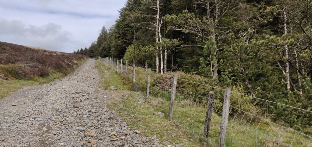
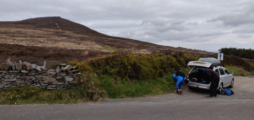
Having parked at SN 342 867, you can walk up the ‘Green Way’ heading north alongside the plantation. The incline here is very slight. The Green Way is a gravel ‘road’ suitable for motorbikes, mountain biking and the like, although we only saw one such vehicle on our travel. There’s a gate at the bottom of the Green Way to prevent car access.

The ‘Green Way’ alongside the plantation

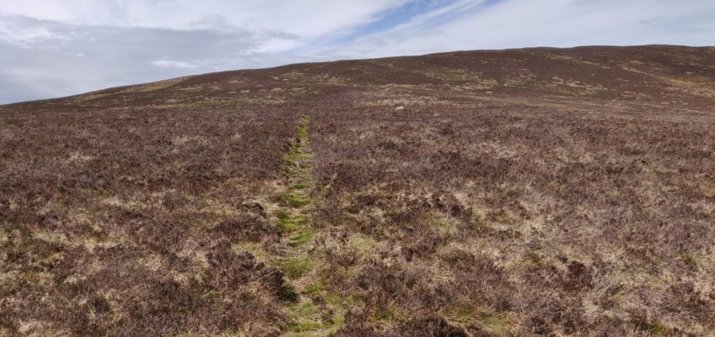
The OS map suggests there is a path to the left at SN 342 873: we saw no evidence of this, but you carry on the Green Way at this point anyway. The path you do want to take is at SN 244 877 and it’s a barely-visible sheep track heading up through the heather. This is the steepest part of the climb but it was without any major problems.

Track through the heather

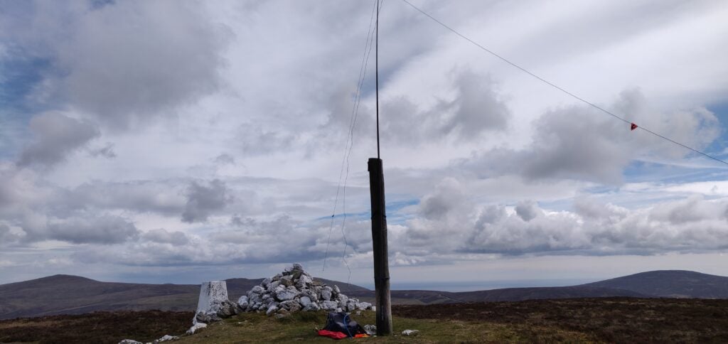
The top of the hill has a very useful wooden pole next to the cairn and trig point, so I bungeed my fibreglass pole to the wooden pole (which has some nails sticking out of it for extra ease-of-use!), so saving me getting out the guying kit.

Summit of Slieau Freoaghane

Again, HF was very slow and I had to make a couple CQs on VHF to qualify. Luckily, these got me across to Northern Ireland and so we were all able to qualify the summit.

This was a longer walk, taking 40 minutes for the ascent and 25 minutes back down.

GD/GD-003 South Barrule

This is another four-point hill and about a 25 minute drive from GD-002. It’s also fairly easy to activate. You can park on the verge at the start of the track at SN 248 756 and again just follow the obvious grass path straight to the top. The ascent took about 20 minutes to climb 170m in about a kilometre.  Incidentally, the transmitter mast shown on my 2015 OS map as being next to the path is no longer there.

South Barrule – park the car and head straight up!

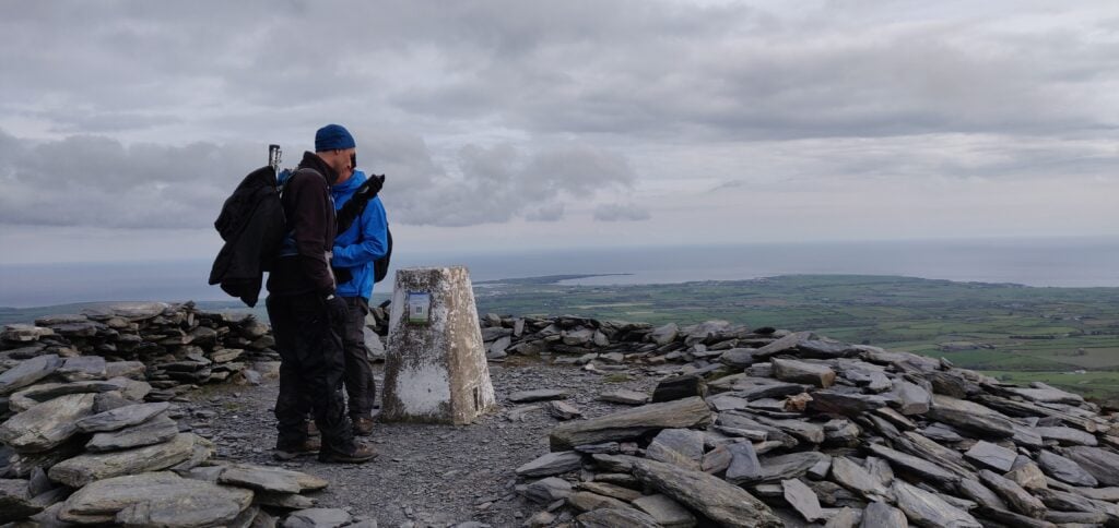
The top of the hill is an iron-age hill fort and the trig point is inside a cairn. Again, this is a fairly flat-topped hill, so there’s plenty of space to set up. By now, it was much later in the afternoon and 30m was performing a lot better than it had earlier in the day, which was a great relief and led to a rather pleasant activation in slightly warmer sunshine than we had had hitherto.

Summit of South Barrule

GD/GD-004 Bradda Hill

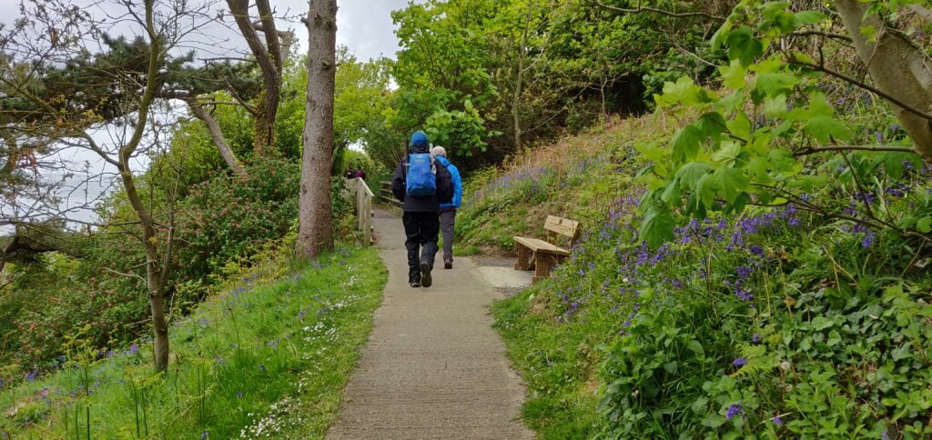
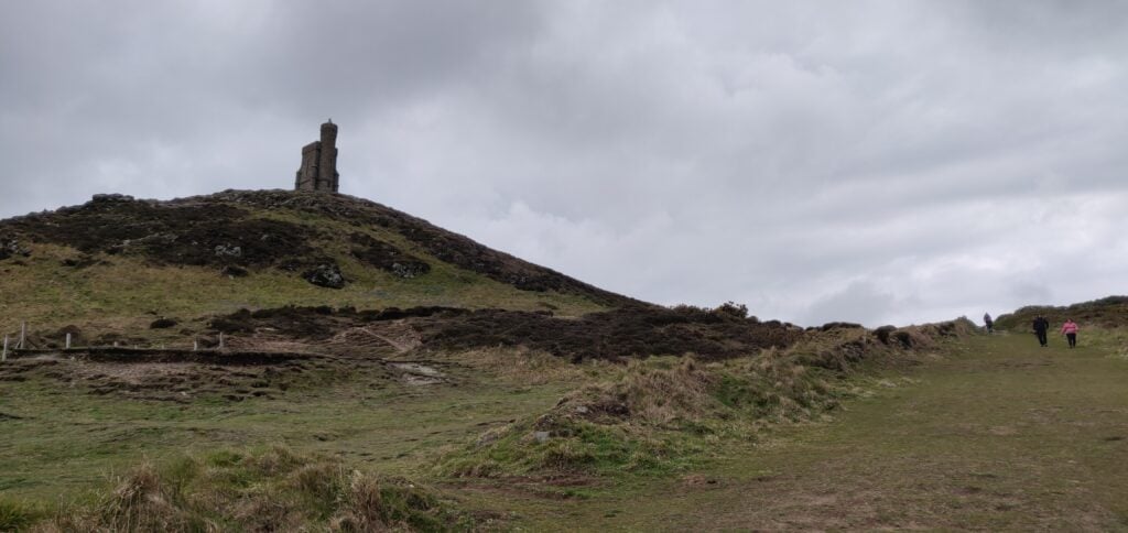
The following morning started sunny so we decided to make a decent circuit of the walk to Bradda Hill, a one-point summit near Port Erin on the south-west coast. We parked in the large carpark at SH 192 698, and then followed the nice, mostly concrete, path around to Bradda Head tower.

Path to Bradda Tower

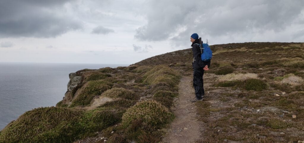
Just before the tower, stay on the main path to go behind the tower. The path in front of the tower along the cliff has eroded into the sea. Once you have past the tower, a grass path re-joins the coastal path hugging the cliffs until you are nearly at Bradda Hill. There is a substantial drop down the cliff but the path is mainly set a little back from the edge, and so it didn’t feel especially dangerous but you might need care in some places in slippery conditions.

The grass path behind Bradda Tower
Heading along the coastal footpath

There’s nothing particularly at Bradda Hill. It’s just a lump of heather sticking out from the coastal farmland but there is a stone wall near the cairn which can provide some shelter from a southerly wind. HF conditions were again very difficult and I had to give up on 30m after one call and lots of CQing to borrow Rob’s rig on 40m instead.  

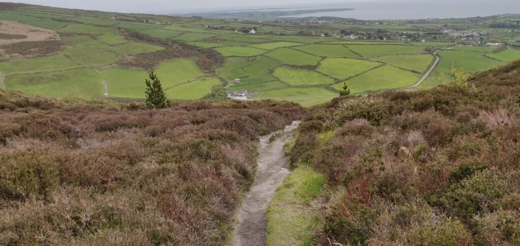
Once we had finished operating, we continued east on the path along the plantation. The path down to Ballaglonney is a little steep and we were glad we hadn’t come up that way. I needed to get my walking poles out to improve my balance, although some steps have been cut into the earth.

Downhill to Ballaglonney in the valley

From the farm buildings, you can follow the main track alongside the wood to meet the main road at Bradda East and then go back to the carpark.

The total circuit, including 1 hour of operating time, took 2h45.

Loading map…
Distance
—
Elevation gain
—
Elevation loss
—
Max elevation
—
Waypoints
—
Elevation profile

GD/GD-005 Mull Hill

Mull Hill is another one-point hill, about 15 minutes’ drive from Bradda Hill on the other side of the Port Erin bay. It’s possible to drive to the top but it’s also a very easy walk from just outside of the activation zone to the summit.

We parked in the large carpark at Cregneash and then followed the road west for a little bit before coming to a turning, with the obvious grass path up the hill. Mull Hill is an old Chain Home RADAR site from World War 2 and there are still a few concrete pillboxes and the like on the summit. The rubble-strewn ground made getting tent pegs for the guys in a little bit difficult but we got the stations running in the end. Initially, we just operated on 70cms to get some summit-to-summit contacts with other members of our group on Snaefell, but then we set up the HF stations. In the course of this I managed to break my trusty guying ring for my SOTA pole, so some careful use of cable ties was required to get the mast upright. 30m was again almost useless, but a change to 20m was much more profitable.

The path up Mull Hill from the road below

We took a slightly different route for our descent but it was still only about 15 minutes’ walk each way. By the way, there are some nice views of the VOR/DME (VHF Omnidirectional Range / Direction Measuring Equipment) site for aircraft navigation on the adjacent hill. The VOR sends ‘IOM’ on 112.2 MHz but wasn’t detectable on 2m.

Snowdonia SOTAs 2019: Cadair Berwyn

After tackling Pen Llithrig on a less-than-successful day yesterday, it was now Easter Sunday. Knowing the traffic would be bad on Monday, I wanted to get in a quick morning walk before heading back to Cambridge in the afternoon, ahead of most of the cars.

Cadair Berwyn (GW/NW-012, worth 8 points) fitted the bill perfectly. It’s not technically in Snowdonia but it is located in north-eastern Wales, not far from the English border at Oswestry. It was about 40 minutes’ drive from my campsite, so I’d get some of the journey home done early too.

The starting point for this walk is at the Pistyll Rhaeadr waterfall, which is a well-known tourist spot in its own right. The only road to the waterfall is a single-track road with passing places from the village of Llanrhaeadr-ym-Mochnant. There is a large car park (£4 for the day) at the end of the road at SJ074295 but, not knowing this, I parked in the layby at SJ076293.

Once you have parked, you need to walk back down the road to pick up the path at SJ079290 – failure to do this will result in you being on the wrong side of the valley; a mistake I almost made! The path is stony and wide, only rising gently to the lake at Llyn Lluncaws. Just before the lake you need to cross the stream twice. The stream itself is narrow and easy to step over, but the surrounding area is a bit boggy. I can only imagine it is worse in wetter weather.

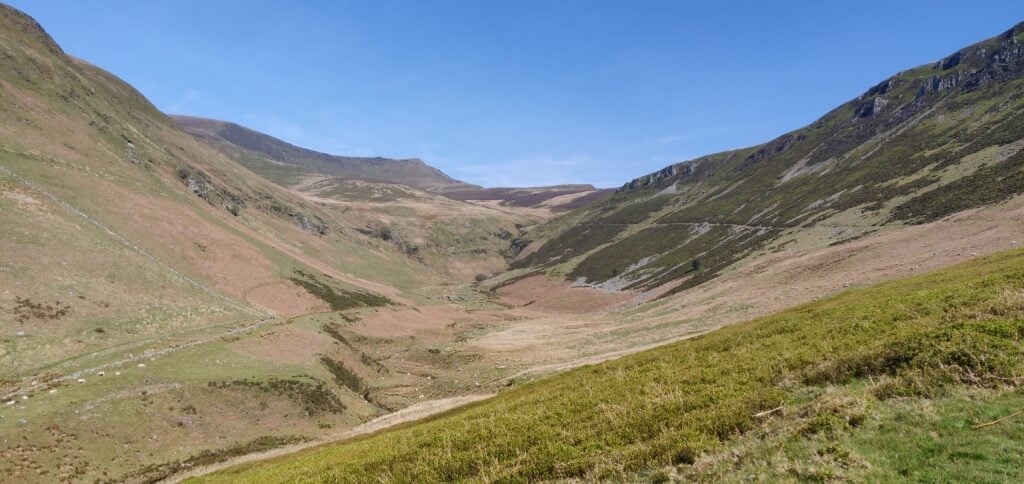
The obvious path rises gently along the right-hand (eastern) edge of the valley; Cadair Berwyn is on the horizon at the end of the valley

Once at the lake, the path runs on some slightly boggy terrain along the southern edge and then heads steeply uphill along the side of the escarpment. The path is generally fine but it does get a little close to the edge at a couple points around 700m ASL, so you need to watch your footing. Once you have reached the top, there’s a short walk along the grassy top of the hill to get into the Activation Zone.

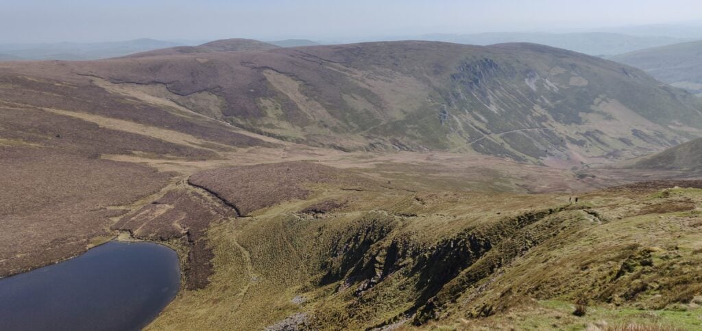
The path climbs along the side of the hill from the lake

Cadair Berwyn has two summits. The northerly one has the trig point and was previously thought to be the highest point. At 827m ASL, however, it is beaten by 3m by the southern summit.

There’s plenty of room here to set up but I was able to do a quick activation on 2m from my handheld only, which enabled me to get back to the car for the drive home. The ascent took me 1 hour 55 minutes and the descent took 90 minutes. This was a very pleasant summit to activate and I’ll certainly be back, especially as it’s only 3.5 hours’ drive from Cambridge.

The only problem was on returning to my car to find that the single-track road from the village had become full of cars, including cars parked in the passing places and along the side of the road. This made actually driving the first mile a very slow experience with lots of very careful passing needed. For this reason, I wouldn’t recommend doing it on a hot bank holiday weekend!

Loading map…
Distance
—
Elevation gain
—
Elevation loss
—
Max elevation
—
Waypoints
—
Elevation profile