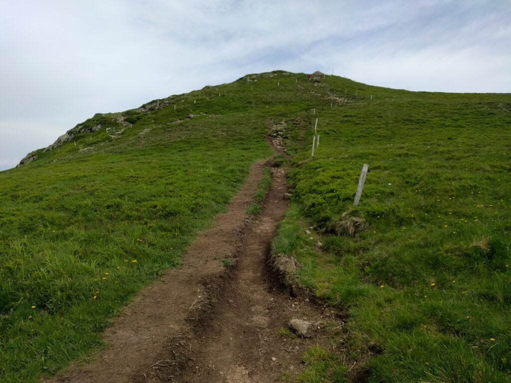
Tag Archives: vosges

Five more Vosges SOTAs

Last year, for the late May bank holiday, I set myself the challenge of getting 100 SOTA points in the weekend in the Vosges area of eastern France, an area renowned for being an easy place to get lots of points fairly quickly.

This year, in May 2019, my challenge was to do 120 points in about two-and-a-half days. Because of flight availability, I flew into Frankfurt (about 3 hours’ drive from the Vosges), and then stayed the first night in Colmar. This gave me a good excuse to tackle five summits on the first day, which I hadn’t got to last year as I wasn’t so far north. In doing this, I was basically following the route in Luc, ON7DQ’s blog, with one additional hill.

FL/VO-007: Le Grand Brézouard

Driving a rental car, I didn’t want to take the risk of the gravel path taken by Luc, so I parked at the end of the tarmac road at the Auberge de Haycot, where there’s space for a few cars on the grass verge at 48.19652993,
7.139014. From here, you can simply follow the gravel road to the next bend, where a small track signposted ‘Brézouard GR 5’ cuts through the trees on your left. From here on, follow the signs marked with a red square.
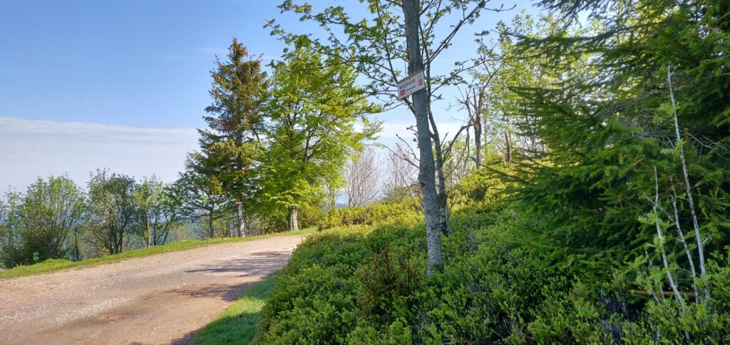
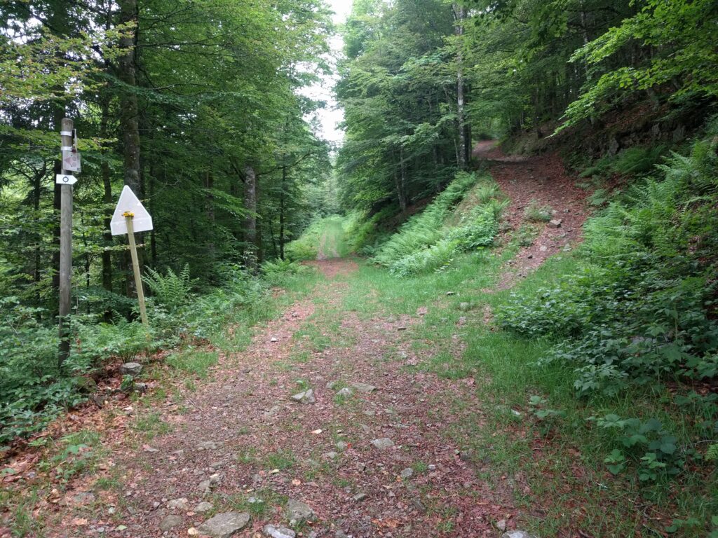
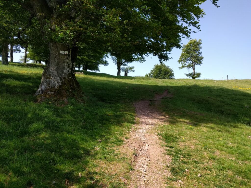
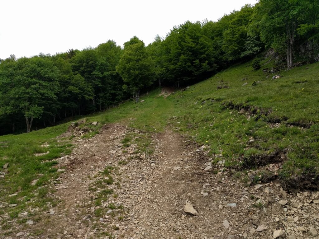
The path is well-signposted

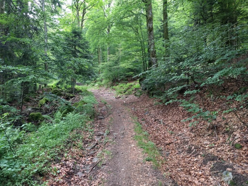
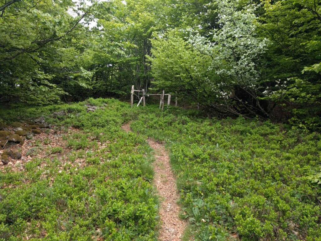
This is a pleasant forest trail, which brings you out to a clearing at 48.19311678, 7.146474. From here, you take the right-hand most (fairly steep) path up through the trees, which eventually leads to the summit.
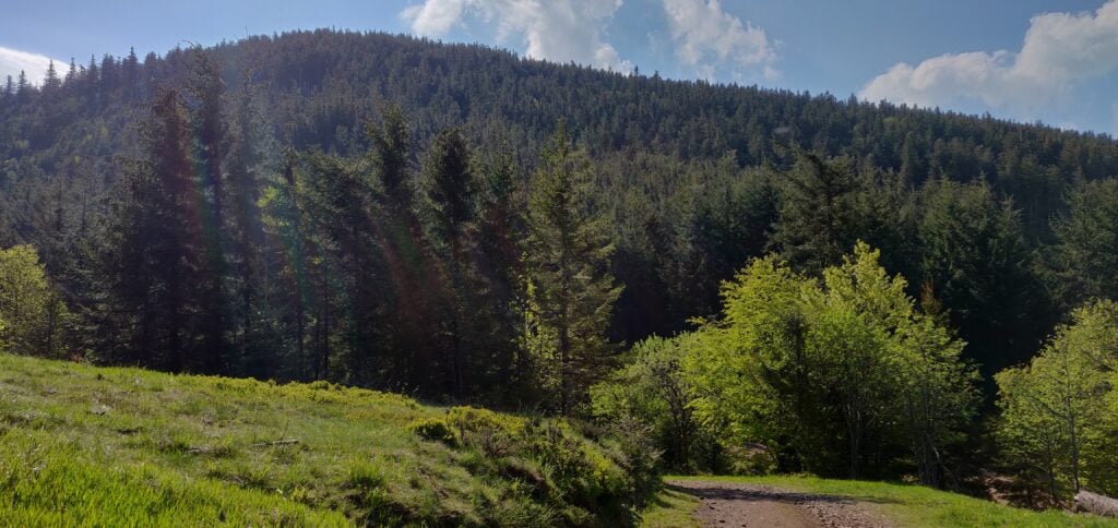
Le Grand Brézouard

Luc’s blog post mentions an aluminium flag pole at the summit, which can be used to attach an antenna to. That’s no longer there, having been replaced by a small Versatower section surrounded by trees and housing a solar panel and anemometer – not the sort of thing to hang antennas off!

The ascent and descent took about 30 minutes in each direction.

[sgpx gpx=”https://www.domsmith.co.uk/amateur-radio/dxpeditions/2019/f/fl_vo-007.gpx” mtype=”OSM6″ summary=”true” summarytotlen=”true” summaryeleup=”true” summarytotaltime=”true” download=”true”]

FL/VO-016: Le Rossberg

There’s really very little to say about Le Rossberg (not to be confused with VO-013 Rossberg). It’s a very easy little activation, starting from 48.18332998, 7.09295744 (about 13 minutes’ drive from Le Grand Brézouard) where you can park on the verge at the start of the track. From here, the path through the forest barely rises and the navigation is easy. The only thing to notes is that where the path splits you follow the cross-country ski path signed with the orange sign to the left (not the blue one to the right).

On reaching the highest point on the path, I made a little detour off the path to find a small clearing in the trees just to get myself easily into the activation zone.
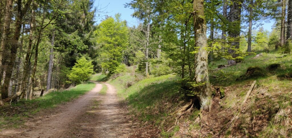
The walk up Le Rossberg

The ascent took about 16 minutes and the descent took about 12 minutes.

Loading map…
Distance
—
Elevation gain
—
Elevation loss
—
Max elevation
—
Waypoints
—
Elevation profile

FL/VO-003: Gazon du Faing

About 40 minutes’ drive south from Le Rossberg is the Gazon du Faing ridge. This is a popular spot but there’s plenty of parking at 48.10897979, 7.06415083.

Luc’s blog post describes the (anti-erosion) wooden steps up the path to the summit and how annoying they are. You don’t have to take that main path, however, because the SOTA manual defines the summit of Gazon du Faing as being at 48.1138, 7.0795, which is to the north of the viewpoint the path goes to. Consequently, you can instead take the easier path marked with outlined blue circles, through the scrub to the top.
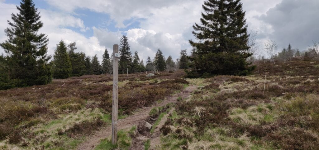
Take the path through the scrub to the top

Once at the summit, there’s very little here. No cairn or trig point, no marker of any sort. It’s just barren. With the main bulk of the tourists on the other peak, it’s also quite a peaceful spot with plenty of space to set up.

The ascent took me 28 minutes and the descent took 20 minutes. (Note that on the map below the summit marked is the southern summit, whereas I activated the northern summit as defined in the manual. It’s all the activation zone either way!)

Loading map…
Distance
—
Elevation gain
—
Elevation loss
—
Max elevation
—
Waypoints
—
Elevation profile

Back at the car a short, sharp hail shower set in. It was good timing getting back, but we sat it out for a few minutes before heading to the next summit, about 55 minutes’ drive away.

FL/VO-014: Chaume de Sérichamp

Luc’s blog post describes parking at 48.109832, 6.994016 on a ‘degraded’ road. Again, with the hire car, I opted for a slightly longer walk that didn’t risk any damage! To this end, we parked at 48.09950669, 6.99626895, at the end of the tarmac road. From here, there’s a steep gravel forestry path up the hill (motor vehicles are not permitted, except forestry workers). This road rises about 220m in 2km before coming out to the clearing where Luc parked.

Once at the clearing, you can follow the road to the transmitter tower. Like Luc, I set up on the field boundary just behind the tower.
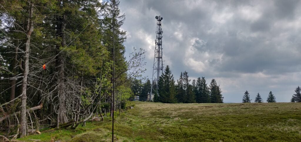
My antenna next to the transmitter tower

The ascent took 40 minutes and the descent took 23 minutes.

Loading map…
Distance
—
Elevation gain
—
Elevation loss
—
Max elevation
—
Waypoints
—
Elevation profile

FL/VO-089: Haut de la Pierre de Taille

With some time to fill, I could add another activation to Luc’s four-summit route. My backup plan was to tackle VO-020 Le Croix Hanzo, but that’s quite a hike from the outskirts of the village of Xonrupt-Longemer, and I didn’t quite have time for that one. Looking at the map, together with the SOTA Spotter app’s valuable ‘find nearby summits’ feature, I quickly realised that an activation of VO-089 Haut de la Pierre de Taille was more achievable in the time left before dinner.

I parked at the end of the road at 48.1021206, 6.89313458 on the verge just in front of the ‘no motor vehicles’ sign, and then walked up the track until it started going downhill again. It’s about a 1.5km walk each way, only rising by about 120m, so it’s another easy one.
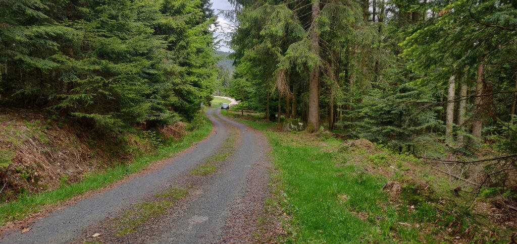
Haut de la Pierre de Taille is another easy activation up a forest track

Once again, when I got to the top of the road, I went into the forest a little bit just to ensure I was easily into the activation zone, as the actual summit point is well into the woodland. As with all my operations this weekend, I quickly made a sufficient number of QSOs on 30m CW before heading back down again and into La Bresse for dinner.

The ascent took about 22 minutes and the descent took 16 minutes. In total, this gave me 50 points (all five summits are worth ten points) for the day – a good start towards my target of 120 points.

Loading map…
Distance
—
Elevation gain
—
Elevation loss
—
Max elevation
—
Waypoints
—
Elevation profile

The rest of the weekend

The rest of the weekend was formed of the following activations:

  • Sunday was a repeat of my first day in the Vosges last year, covering Molkenrain, Le Grand Ballon, Storkenkopf and Rothenbachskopf, with the addition of Le Hohneck (which I did on day two last year).
  • Monday was also made up of summits I did in 2018: Haut du Rouge Gazon (done on day three last year) and then Le Grand Ventron (also from day two last year), about 20 minutes’ drive from Rouge Gazon.

This gave me a total of 120 points from the weekend.
Vosges SOTAs Challenge – Day 3: Haut de Rouge Gazon, Haut de Brampas, Kuppelthannkopf

With 80 SOTA points in the bag from Saturday and Sunday, by Bank Holiday Monday it was looking likely that 100 points in a weekend might be achievable.

We stayed the night t the Hotel L’Ermitage in Ventron, since this is right at the start of the path up the Haut de Rouge Gazon, the first hill for today.

FL/VO-018 Haut de Rouge Gazon

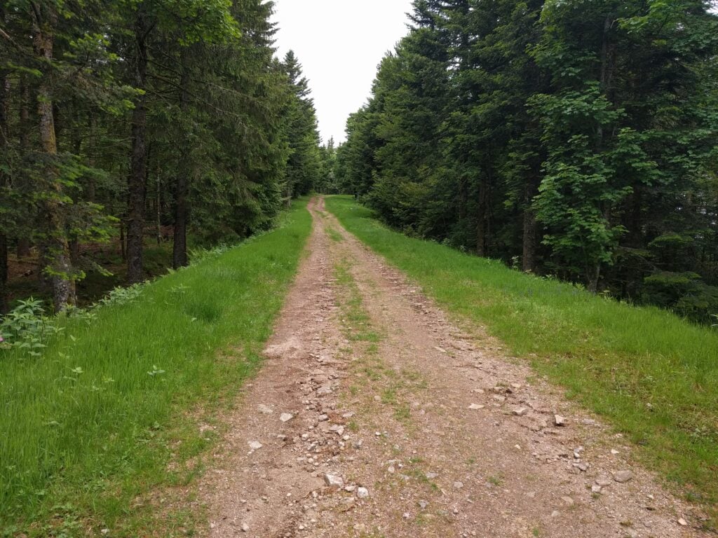
There are multiple paths up the Haut de Rouge Gazon, but at the hotel, all of the paths start from next to the tennis court. From there, you can follow either the red outlined circle signs (the ‘Route panoramique’), or the blue outlined circles. The red circles form the cross-country skiing route in the winter, and therefore the path is wider and less steep, though consequently less direct. The blue circles are suitable for walking and cut off some of the hair-pin bends, thereby making them slightly steeper but more direct. It took me a little while to work this out, so on the ascent I did a mixture of the two routes (taking 50mins) and on the descent I stuck to the blue circles (taking 40 minutes).

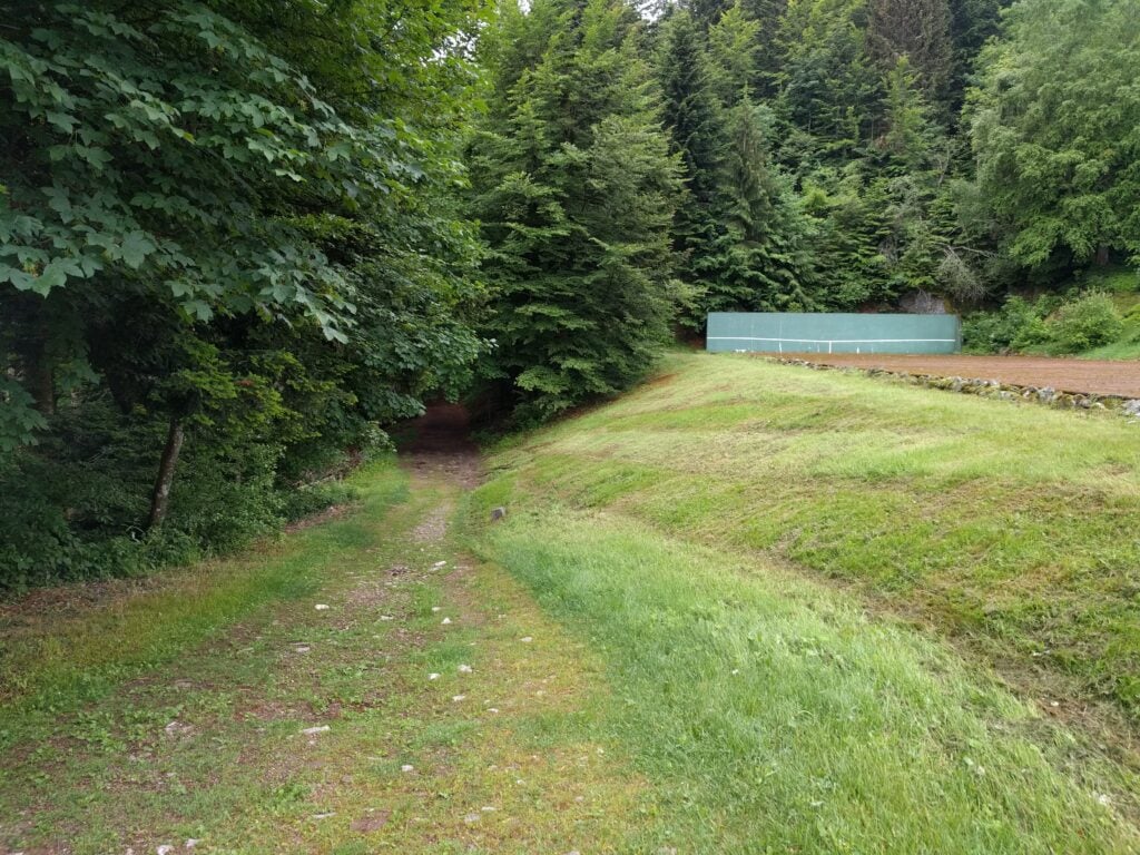
The start of the path up the Haut de Rouge Gazon, next to the tennis court
The choice of paths up Rouge Gazon

Edit May 2019: Having just done the same walk the following year, there’s an omission at this point: Following the outlined blue circles up the hill, you’ll come out at a wooden three-dimensional wooden cross artwork. From here, turn right, following the outlined red circles along the wide path that’s flat along the top of the hill.

Either way, you eventually come out beside the top of the ski-lifts, where the paths turn away from the summit. At this point, quickly cut through the trees to join the wide ski-run towards the highest point. It’s a very pleasant walk, with a climb of about 120m ascent over 4.2km, making it the longest walk of the trip.

Walking along the ski run on Haut de Rouge Gazon

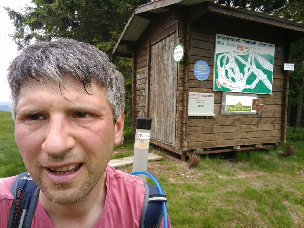
Once at the summit, and at this time of year with the skiing closed, there’s masses of space to set up and I quickly made 8 QSOs to qualify the summit on 30m CW.

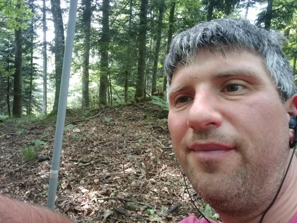
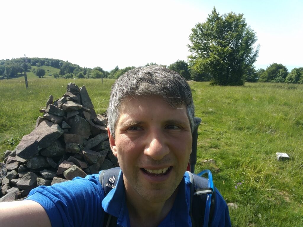
Me on the summit of Haut de Rouge Gazon
Loading map…
Distance
—
Elevation gain
—
Elevation loss
—
Max elevation
—
Waypoints
—
Elevation profile

FL/VO-087 Haut de Brampas

And so, with 90 points for the weekend to-date, it was time to hit number 100. The path to the Haut de Brampas starts from the Col du Page, about 10 minutes’ drive from L’Ermitage Saint Joseph. As with yesterday’s hills, this is a forest walk and, again, I struggled to maintain a GPS lock, meaning that the trace below is somewhat inaccurate.

The path is wide, and obvious but, as with yesterday’s ones, it does avoid the summit, so at some point you have to cut through the trees and find your own way to the highest point. This is easy enough on the way up, but on the way down, navigating solely on paper map and compass, I took a slightly wrong turn and ended up heading in the right direction but without loosing height, meaning that I didn’t find the path for some time. Consequently, although it only took 15 minutes to get up the hill, I took 20 minutes coming back down. In terms of steepness, it’s about a 140m ascent over 1.6km.

The path up the Haut de Brampas

There’s very little else to say about this hill. It’s another, fairly boring, bit of forest, but with the addition of a load of flies, making operating uncomfortable. Sending CW cleanly while swatting flies with your other hand takes some practice!

I managed just 6 QSOs from here before packing up, having reached my goal of 100 points in the weekend.

Loading map…
Distance
—
Elevation gain
—
Elevation loss
—
Max elevation
—
Waypoints
—
Elevation profile

FL/VO-095 Kuppelthannkopf

Those 100 points, however, took me to an all-time SOTA score of 495, short of half-goat status by only 5 points. Luckily, there’s an easy-to-reach 8 point hill just outside Thann on the way back towards Basel airport. It’s about 40 minutes’ drive from the Col du Page, and starts from the carpark on the Col du Hundsruck.

Again, there’s not too much to say about this route. You start on the main marked footpath heading behind the hill from the Col (initially losing height) and then, around 47.8047N, 7.04984E, you take the forest logging tracks that zig-zag up the mountain to the summit. It took me 30 minutes to climb the 120m ascent over 1.6km, and about 20 minutes to come back down. The ground is rather loose in places, so I found my hiking pole useful, but it’s not a difficult climb.

Me on the summit of Kuppelthannkopf

13 QSOs, including 3 S2S QSOs, took me past the magic 500 points mark but, as with the Haut de Brampas, the flies swarming around me slightly marred the celebrations!

Loading map…
Distance
—
Elevation gain
—
Elevation loss
—
Max elevation
—
Waypoints
—
Elevation profile

Vosges SOTAs Challenge – Day 1: Molkenrain, Grand Ballon, Storkenkopf, Rothenbachkopf

The challenge

Before I post about the hills I’ve been climbing this weekend, I should probably explain why I’ve come to the Vosges, a very beautiful hilly area in Eastern France.

As you are probably aware if you’re reading this page, I participate in Summits on the Air (SOTA), an amateur radio award scheme for making contacts from summits. SOTA has a de-centralised administration model: so that a single team doesn’t have to classify hills globally, different ‘Associations’ administer the rules in their area, with that area often being a country or politically-recognised region.

Generally, for a hill or mountain to count for SOTA, it has to have at least 150 metres of distinguishable drop (‘prominence’) from the summit point, such that rolling hillocks don’t count. This is the so-called P150 rule. But some Associations are in flatter areas, that wouldn’t have many qualifying P150 summits, and so those Associations may opt to adopt an alternative P100 (100 metres of prominence) rule instead.

France is an interesting case in this regard, because the large mountain ranges (the Alps, Massif Central and Pyrenees) are all in the South and East, and so there’s a second Association (‘France – Low’), which is a P100 Association covering the North and West of the country. Due to the way the boundary between France and France – Low was drawn, the Vosges has ended up in France – Low, resulting in loads of easy 10-point P100 summits in a smaller area.

Bear in mind that if you travel to other Associations, your earned points accumulate towards your score in your home Association. By travelling from England (A P150 Association) to France – Low (A P100 Association), therefore, any summits I activate here will count towards my English score, even though they are easier.

When I first spotted the Vosges anomaly on the map, I had to come here in a Bank Holiday weekend to see whether I could achieve what I thought was possible: 100 SOTA points in one long weekend. That would be almost impossible to achieve at home.

I’ve come in late May not only because it’s a Bank Holiday but because many mountain roads in the area are closed in the winter by snow, so it needs good weather to attempt this challenge!

Getting here

I flew from London Heathrow to Basel Euroairport, which is actually on the French-Swiss border between St Louis (Mulhouse, France) and Basel, arriving on Friday evening. I hired a car from Avis via their tie-up with BA. If you try this too, it’s worth being aware that BA’s website can’t cope with the fact there are two Avis desks in two different countries in a single airport and so you get allocated the desk on the Swiss side of the airport. That’s fine but a recent EU customs rule apparently means that there are significant customs charges to take a Swiss-registered rental car into the EU, so you need to put in a special request for an EU-registered car. It sounds bureaucratic, but it worked fine for me, and just after 11pm we had a car. Because of the time, we stayed in the very nice surroundings of the Airport Hotel Basel, and then drove into France the following morning.

FL/FL-017 Molkenrain

My plan was to tackle four hills today, all of which are 10 points for SOTA. Le Molkenrain is the nearest to Basel, about 45 minutes of easy motorway driving from the border, and then just some twisty mountain roads for the last bit.

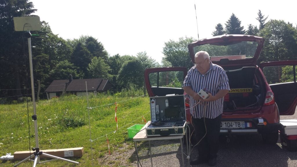
On arriving at the carpark, we found a local F4 station setting up some ATV equipment, aiming to get cross-band pictures on 13cm and 23cm to a repeater in Germany.

ATV from the carpark at Molkenrain

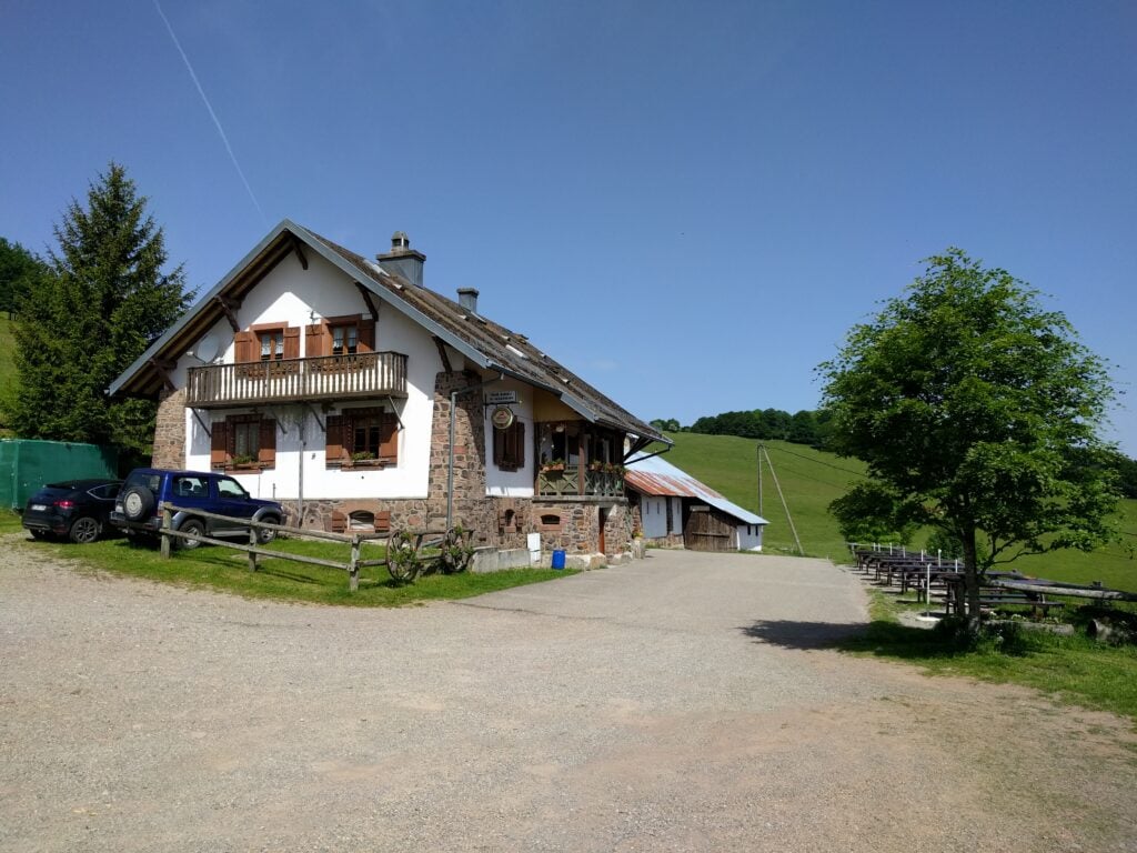
The walk itself is easy, and took just over a quarter of an hour. It’s only about a 125m vertical ascent over about 1km horizontal and I reached the summit at about 10:30. The path starts on the road, walking past the auberge (where public toilets are available), then cuts on a gently upwards path along the field boundary to the walker’s refuge. At the refuge, you turn right and follow the obvious path to the cairn.

Molkenrain Auberge

I set up on 30m CW and easily made 8 QSOs within ten minutes. A quick pack-up, and I was back at the car by 11:15.

Molkenrain summit
Loading map…
Distance
—
Elevation gain
—
Elevation loss
—
Max elevation
—
Waypoints
—
Elevation profile

FL/VO-001 Le Grand Ballon

The Grand Ballon is about 30 minute’s drive from Molkenrain. It is a very busy site, with numerous restaurants in the carpark below the summit and, today, a lot of motorbikers using it. You certainly had to be alert when driving the hairpin bends, in case of a motorbike in the middle of the road around the corner.

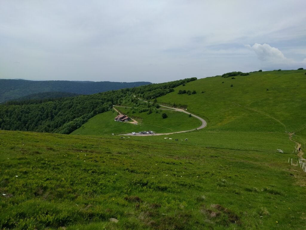
There’s building work taking place in the carpark at the moment, meaning that the start of the path was a bit hidden but I followed the sign to ‘Sommet Gr. BALLON par G.R.‘ (Summit via the walking route). The path is short, only taking about 20 minutes to climb the about 70m vertically from the carpark, over about 0.65km. The views over the surrounding hills are quite spectacular, and half-way up you get a nice view towards the Storkenkopf – the next hill on the route.

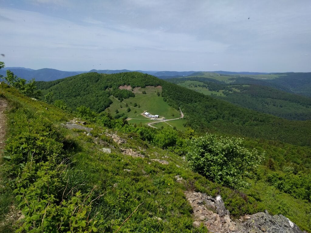
The Storkenkopf, seen from the ascent of Grand Ballon

On top of the Grand Ballon, turn left towards the cairns, rather than towards the golf ball. The cairns area is sadly a fenced square, with no access beyond the fence. On a busy day like today, there were lots of families taking photos within that fenced area, and so this made operating a little difficult.

With some Sporadic E around, I chose to try 6m first as it needs less dipole length than 30m, but although the RBN saw my calls, I didn’t get any replies sadly. I think everyone was on FT8.

While I was wondering what to do, the area became a little quieter, so I took the opportunity to move to 30m and made 6 QSOs. In total, I was on the summit for about an hour, taking me a little behind my planned schedule.

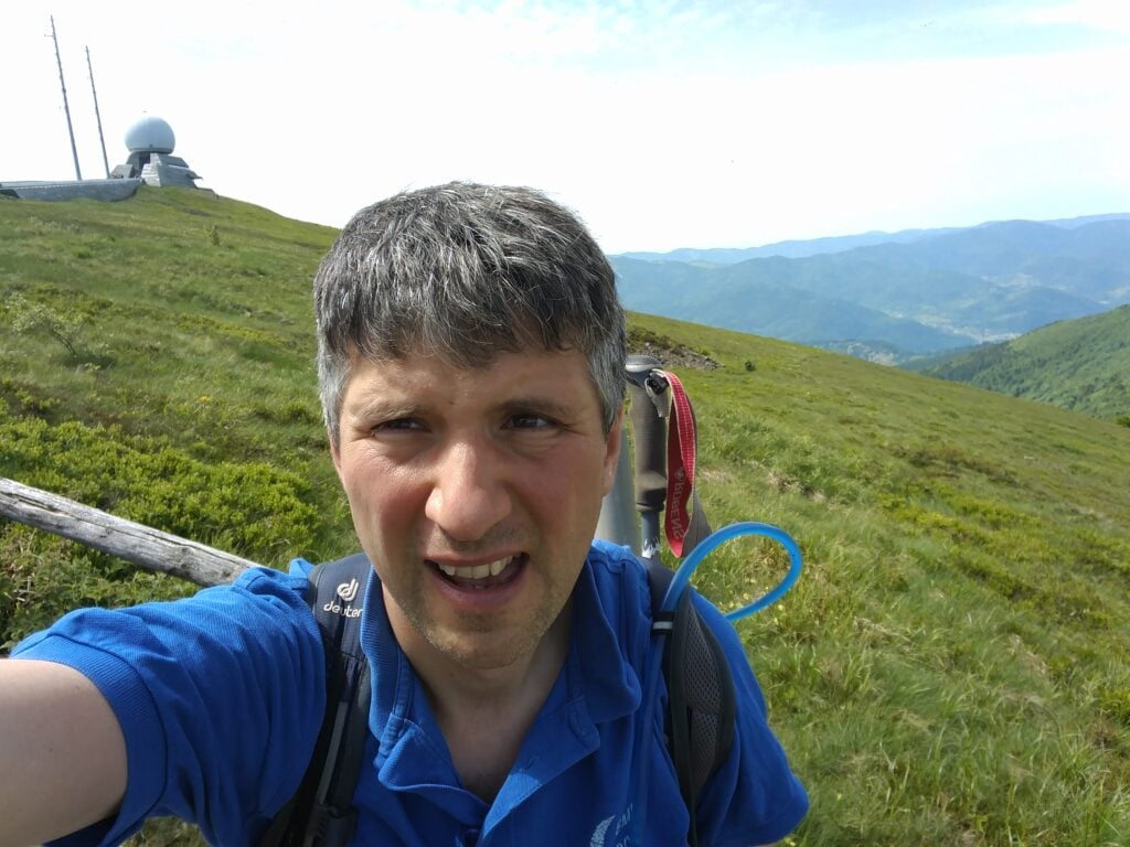
On the summit of Grand Ballon
Loading map…
Distance
—
Elevation gain
—
Elevation loss
—
Max elevation
—
Waypoints
—
Elevation profile

FL/VO-078 Storkenkopf

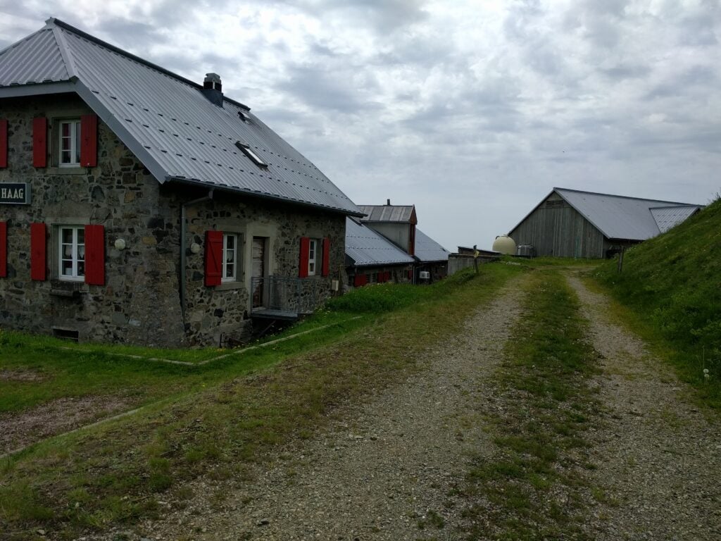
Storkenkopf is just around the corner from Le Grand Ballon. It would be easily walkable to go between the two, but since we would be driving past anyway, we parked at the Auberge de Haag at the bottom of the hill and I walked up from there.

The path starts from behind the Auberge Haag, which is also a working farm
Path heading into the forest, Storkenkopf
The small path approaching the summit on Storkenkopf

This is another fairly easy climb, starting from behind the farm and then you follow the marked path up the hill. When you come to a clearing in the forest, turn right and head to the far corner of the clearing, to pick up a smaller path to the summit. The journey up took me about 20 minutes, and the descent about 15 minutes. This hill is similar in steepness to Molkenrain, with 130m of ascent over a 1km.

This was a very good location for HF – much quieter than Grand Ballon – with plenty of space for my dipole. I managed 15 QSOs in 20 minutes from here.

Me on the summit of Storkenkopf
Loading map…
Distance
—
Elevation gain
—
Elevation loss
—
Max elevation
—
Waypoints
—
Elevation profile

FL/VO-080 Rothenbachkopf

About 30 minutes’ drive North of Storkenkopf is Rothenbachkopf. This is another easy walk, with a nice footpath starting at a carpark by the road, from where it’s about a 20 minute climb, ascending 100m vertically on a well-made path over about 0.8km, with a few steps leading up to the summit.

The carpark and road from Rothenbachkopf
The path to the summit, Rothenbachkopf

There’s sufficient flat ground around the summit to erect an HF antenna, and I quickly made the six QSOs I needed to qualify the activation, again all on 30m CW.

Me on Rothenbachkopf
Loading map…
Distance
—
Elevation gain
—
Elevation loss
—
Max elevation
—
Waypoints
—
Elevation profile

All-in-all, a successful start to my challenge, with 40 points amassed so far, from four very easy 10-pointers. We retired to the nearby town of La Bresse, where we stayed at the Ibis Hotel, before a slightly more strenuous day tomorrow…