Vosges SOTA trip 2026 – Day 3: Boule du Diable (est) (FL/VO-173), Sommet de Belle Hutte (FL/VO-011) and Grand Artimont (FL/VO-083)

After yesterday’s long day, my final full day in the Vosges targeted a final three 10-point summits to reach my objective of 100 points in three days.

Boule du Diable (est) (FL/VO-173)

This is another summit that goes on the list of not-very-interesting forest walks in the Vosges, sadly. Starting from a fairly large carpark on the D34c, it starts as a fairly major path and then gradually becomes more minor until it’s eventually just a leaf-covered trail among the trees, with the usual Vosges forest flies. The summit is marked with a boundary stone and as usual on this sort of hill, you have to find a clearing in the activation zone to make space for wire aerials.

The only intersting factor about this hill is that about two-thirds of the way up I heard a very large animal panting nearby and I got the definite sense that I was being observed. I carried on and there were no issues but when I spoke to M0RWX later that day (see below), he said that he had seen wild boar footprints on the summit.
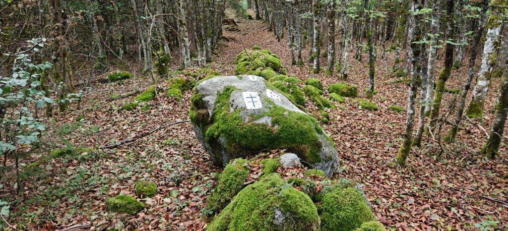
A forest of young trees with a leaf-strewn path between them. A large rock with symbols painted on it lies in the middle of the path.
The summit of Boule du Diable (est)

It took me just over 30 minutes to do the 1.9km walk and a little less for the descent. As it was quite early in the morning still and the bands weren’t really open to the UK yet, I made nine QSOs on a mixture of 40m and 30m CW.

Loading map…
Distance
—
Elevation gain
—
Elevation loss
—
Max elevation
—
Waypoints
—
Elevation profile

Sommet de Belle Hutte (FL/VO-011)

On the other side of the road from the same carpark, the Chemin Morel path is the starting point for the ascent of the Belle Hutte. Again, this is a walk through the forest but a somewhat more enjoyable one than the previous hill. You start by following signs to ‘Les Champis’, which is a fairly narrow, steep and winding but perfectly decent path through the forest. This brings you out to a clearing with a nice picnic bench about halfway along the route.
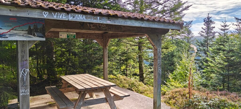
A wooden shelter in the forest with tiled roof and a map. A picknic bench is under cover.
A shelter with picnic bench is available near the halfway point of the walk

Continuing along the path you follow for Rouge Feigne. Signs warn of the danger of bogs on the path but after a very dry summer, these were just slightly muddy damp patches. It might be a different story after heavy rain, however.
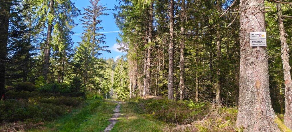
A pine forest on each side of a grassy path.
The route through the forest

The top of Belle Hutte is marked by a large open field, where there’s plenty of space to set up, although there are also plenty of flies! I made 17 QSOs from here, mainly on 30m CW (plus one summit-to-summit on 40m). It took me 50 minutes to walk the 3km and about 45 minutes for the descent. On the way down, I was surprised by a figure coming towards me saying ‘Good morning, Dominic‘ in English. This turned out to be M0RWX, whom I knew was in the area but he hadn’t alerted to suggest he was planning to do the same hill today. He was planning to operate on SSB, so the second activation in a day shouldn’t have been a problem.
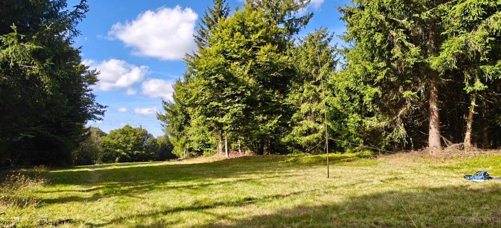
A grassy field surrounded by trees. My radio aerial is in the middle of it.
The summit of Belle Hutte
Loading map…
Distance
—
Elevation gain
—
Elevation loss
—
Max elevation
—
Waypoints
—
Elevation profile

Grand Artimont (FL/VO-083)

My final summit of the trip started just a few minutes’ drive from the previous carpark at the ski resort of Vologne. With the resort largely deserted in September, there is a very large carpark here and the route starts by heading to the resort’s crèche.
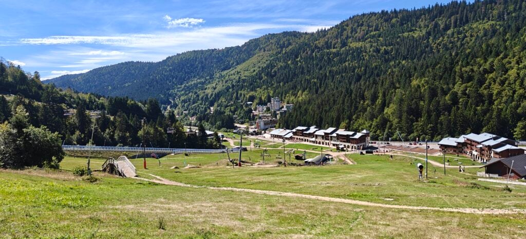
A green valley between forested hills. There are many buildings in the valley. The hill in the foreground has the apparatus of a ski resort, including chair lifts and snow blowers.
The view of the ski resort and carpark from the descent

You follow the route uphill past the water treatment facility, following signs to the Lac de la Lande. Note that some of the paths here are cross-country ski routes and marked as not suitable for hiking, so be careful to follow the appropriate signs. You eventually come out to the reservoir, which was very low after the summer. Walk across the dam and pick up the path on the other side of the lake.
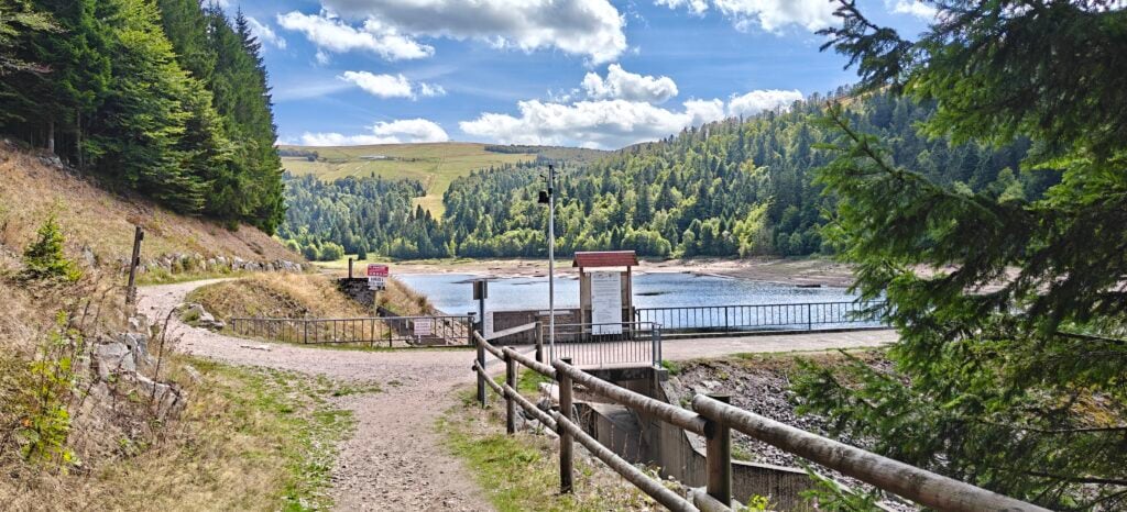
A reservoir between forested hills, with dam in the foreground. The water level in the reservoir is low.
Lac de la Lande

Eventually the path brings you out to the bottom of Grand Artimont, under some chair lifts (which sadly weren’t operating at this time of year!), leaving you with a very steep clamber up a red ski run. This is perfectly do-able but it is steep and a tough climb. On quite a warm day, I had to take several breaks.
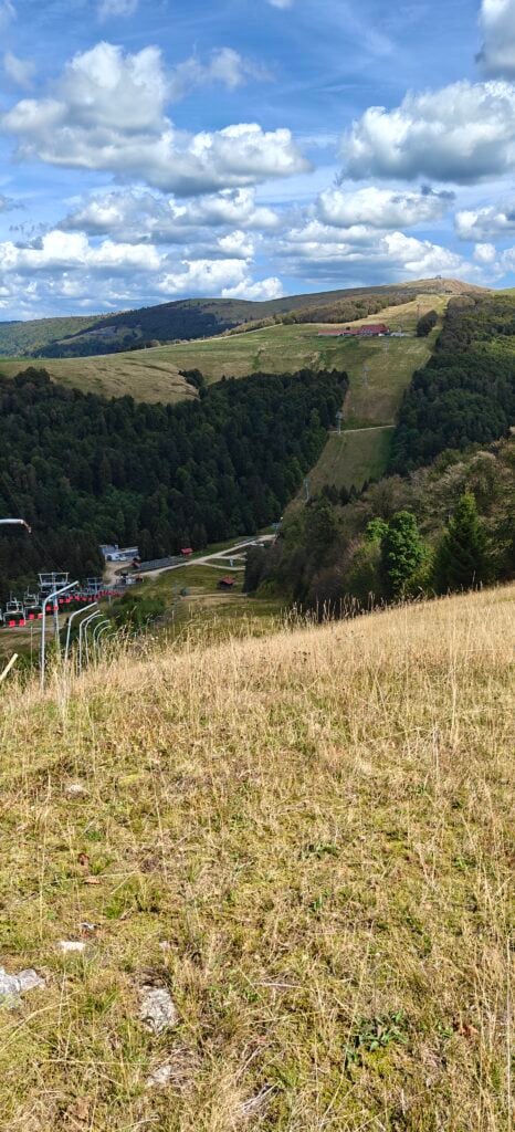
The steep ski run that you have to climb to reach the summit

There’s plenty of space at the top where the chair lift ends, and so I was able to sit down, have lunch and make eleven QSOs. One of these was a summit-to-summit with M0RWX who by now was on Boule du Diable (est), and it was now that he told me about the wild boar marks.

The ascent took me just under an hour to do the 2.5km and just over 30 minutes on the much easier descent.

Loading map…
Distance
—
Elevation gain
—
Elevation loss
—
Max elevation
—
Waypoints
—
Elevation profile

Vosges SOTA trip 2026: Day 2 – Le Lauchenkopf (FL/VO-081), Klintzkopf (FL/VO-079), Petit Ballon (FL/VO-082) and Dornsilkopf (FL/VO-172)

After the three summits near my campsite yesterday, today’s four summits were a little further away. The first two start from a location about 40 minutes’ drive from Xonrupt-Longemer, and the other two are another 40 minutes beyond that.

I did Le Launchenkopf and Klintzkopf as a circular walk but note that access to Klintzkopf is forbidden from December to end of June to protect the wildlife. I was fine as today was 1st September.

Le Lauchenkopf (FL/VO-081)

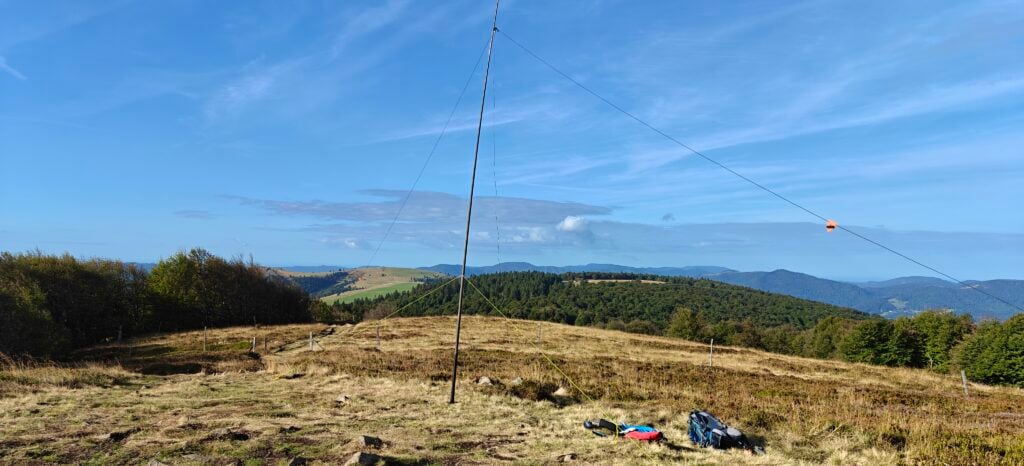
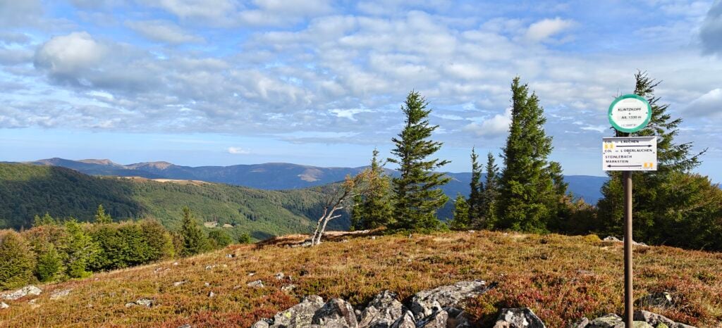
The path up Le Lauchenkopf starts from a very large layby with plenty of parking. You’ll see a signpost to Petit Ballon, which we’ll return on later, but instead of this take the track along the field edge and into the trees. It’s a very quick walk up (less than a kilometer) to the summit, which is little more than a grassy mound but with some decent views. It took me just about 15 minutes from the carpark. I made 9 QSOs from here on 30m CW.

A grassy hilltop with some trees. Other hills are in the distance. My radio aerial mast and backpack are in the foreground.
Summit of Le Lauchenkopf

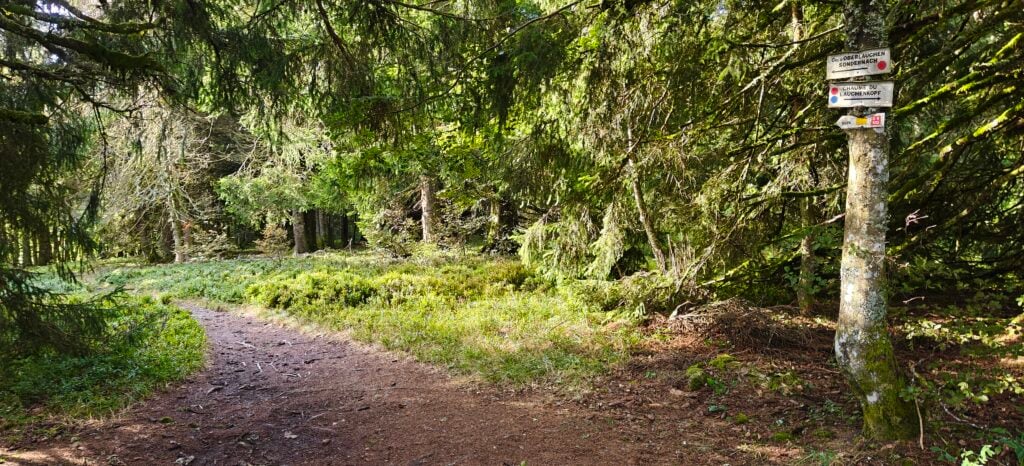
To make this into a circular walk with Klintzkopf, you initially follow the same path down the hill as you came up on, then pick up the path marked with red dots to the Col d’Oberlauchen through the forest.

A path through a fairly thin forest. One of the trees has signposts attached to it.
Forest path to the Col d’Oberlauchen

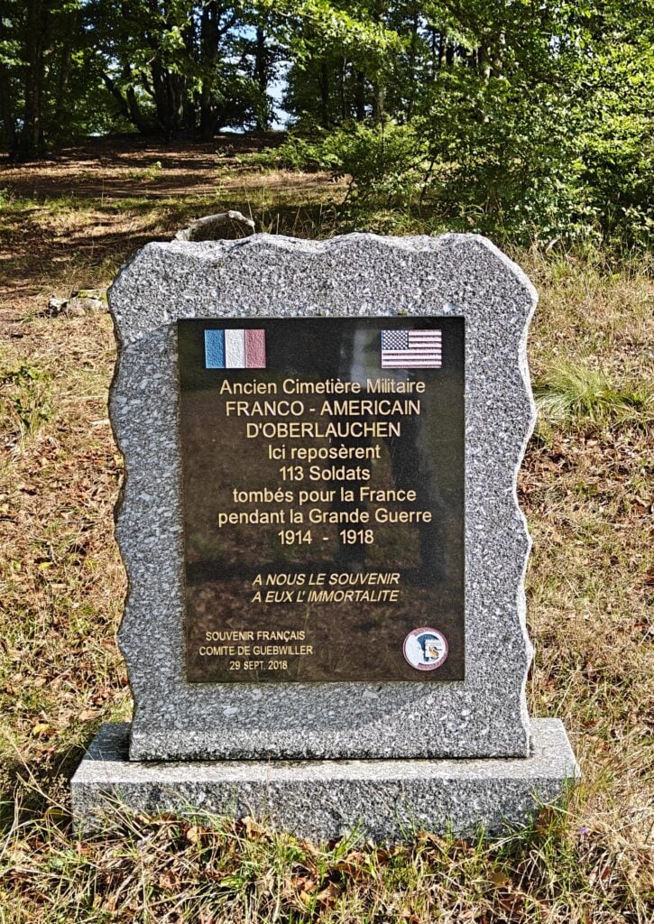
At the Col d’Oberlauchen, there’s a memorial to 113 soldiers of World War One who had been buried at a former military cemetary at this site.

A headstone with the French and American flags markign the former cemetary.
Memorial stone

Klintzkopf (FL/VO-079)

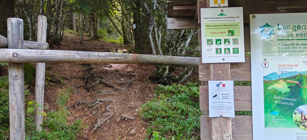
From the Col d’Oberlauchen, follow the signs with the yellow rectangle containing a white square back into the forest. You soon reach a barrier across that path marking the area that is forbidden for seven months of the year and an unlikely warning official government sign suggesting that CCTV enforces the restriction. As long as it is between July – November, you can duck under the barrier and continue up the path.

A wooden bar across a forest path. Warning signs give a list of rules including a notice about surveillance.
The path to Klintzkopf has a barrier marking the area that is restricted for part of the year

After walking uphill through the trees for a bit, you soon come out to the grassy top of Klintzkopf, where there is plenty of space to set up an HF aerial. I quickly made 6 QSOs, again on 30m CW.

Summit of Klintzkopf

It took me 35 minutes to reach Klintzkopf from Le Lauchenkopf, a distance of about 2km. From Le Lauchenkopf, you can return back to the carpark by initially following the route back to the Col d’Oberlauchen and then picking up the major track that heads directly back. The total circuit is just over 5km.

Loading map…
Distance
—
Elevation gain
—
Elevation loss
—
Max elevation
—
Waypoints
—
Elevation profile

Petit Ballon (FL/VO-082)

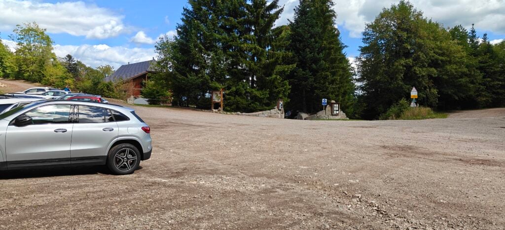
After a short drive, I reached the carpark at the foot of Petit Ballon. This is at the top of a fairly narrow, steep road but it’s a surprisingly large carpark given the rural location. I would definitely approach the carpark from the south as I did, however. The road from the north from Munster looked somewhat rougher.

A large gravel area with cars. There are some trees and a rough road in the distance.
The large carpark at Petit Ballon

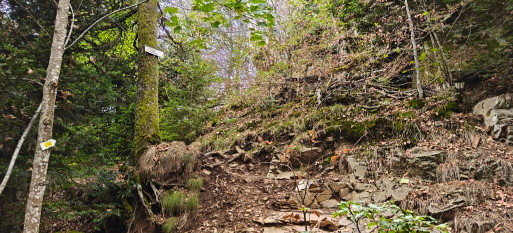
The path starts as a decent track but soon becomes very much steeper and in places difficult to see if it weren’t for the sign posts.

A steep bank of mud, rocks and moss. A tree as a signpost attached to it pointing up the bank.
Part of the ‘path’ to Petit Ballon

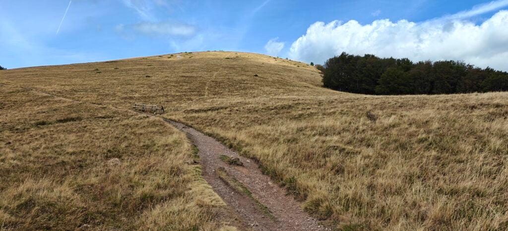
Once at the top of the incline, you join onto a more major easier path once again, which ultimately takes you towards the open grassy summit. One note, however, is that many of the available GPX files take a cross-country direct path to the top. As shown in the photo below, that direct path now has a wooden fence across is, making it very clear that you are expected to remain on the main track which zigzags up the hill.

A grassy hill rises in front of a well-trodden path. A faint path heads directly up the hill but there is a wooden fence at the bottom.
The direct path up Petit Ballon is fenced off

The top of Petit Ballon is the most bizarre summit I’ve possibly ever seen, with the unlikely combination of a status of Mary Magdalene, a lot of bunting, solar panels and microwave dishes. It was quite a busy summit, but there’s masses of space to set up. I made 15 QSOs from here, again on 30m CW, as well as having some lunch.

The 3.3km took me about an hour to climb, and about 40 minutes to descend.

Loading map…
Distance
—
Elevation gain
—
Elevation loss
—
Max elevation
—
Waypoints
—
Elevation profile

Dornsilkopf (FL/VO-172)

After descending Petit Ballon back to the carpark, Dornsilkopf is up a very minor path just on the other side of the road. There really isn’t very much to say about this. It’s only a 600m walk but 50m of ascent, so it’s fairly steep. It’s a ten minute slog through thick forest on barely-visible paths just following paint sprayed on trees.

The summit is marked by an 1842 boundary marker stone. I managed to find a bit of a clearing at the summit to set up my aerial where, like many Vosges forest operations, flies were everywhere. It’s really hard to operate CW while swatting insects that are crawling all over your face and hands! I made 11 QSOs on 30m CW and got off the hill as quickly as possible. This isn’t one I’ll plan to return to.

My aerial mast and backpack in a forest clearing.
Set up at the summit of Dornsilkopf

With all four hills worth 10 points, this was a very successful SOTA day with only one minor bit of stress at the end – my car was fairly low on fuel and the 1h40m drive back to Xonrupt had no petrol stations and a lot of uphill low gear driving. Luckily I made it OK!

With 70 points in the bag over two days, I was well setup to make it to 100 points tomorrow.

Vosges SOTA trip 2026: Day 1 – Tête de Nayemont (FL/VO-029), Haut de la Pierre de Taille (FL/VO-089) and La Croix Hanzo (FL/VO-020)

I returned to the Vosges region of eastern France in late August 2026 with the aim of getting 100 points from hills I hadn’t activated previously. I stayed with my caravan at the Domaine de Longemer campsite in Xonrupt-Longemer and the summits I chose for my first day were all just a few kilometers from the site. In fact, the Tête de Nayemont and Haut de la Pierre de Taille share a starting point and the routes diverge during the walk, making them a very attractive pair to activate together.

Tête de Nayemont (FL/VO-029)

The starting point for this route is just off the D8 road at Martimpré. I parked at the lake but there is also parking around the Chapelle Sainte-Anne a few meters further on. From here the ascent starts along the road which, as improbable as it sounds, runs past the local Dojo (as in martial arts).

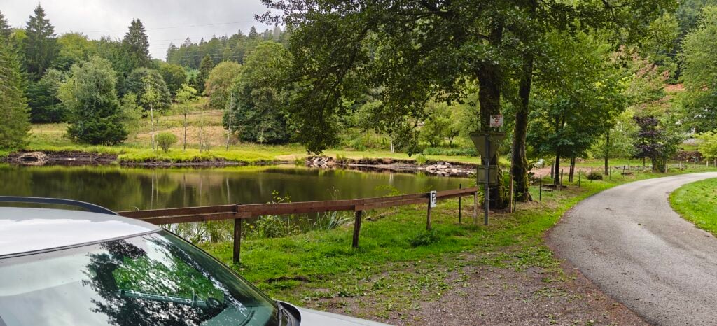
A lake with a road next to it. By the road, there's a gravel area, where a car is parked.
Parking by the lake just off the D8 road

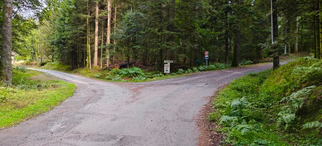
After about 800 meters, the road divides with the Clair Sapin forest track (which you are on) continuing to the right, while the route to Pierre de Taille heads left.

Two tarmaced roads split just ahead
The routes to Nayemont and Pierre de Taille diverge

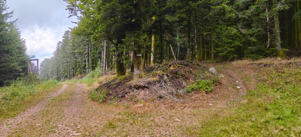
From here, it’s a matter of continuing on the track through the pine forest, initially following the yellow triangle signs, and then the blue cross signs.

Two forest tracks split, one of which has a signpost with a blue cross symbol.
The path is well signed with blue cross symbols

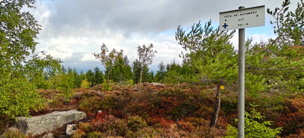
The path gradually becomes narrower and more overgrown, but it is still very easy to follow. At the top, there’s not much to be said for the Tête de Nayemont. It’s a rocky outcrop covered in heather but there is a very useful rock that can act as a very nice seat to operate from.

Heather on a hilltop with a few rocks. A sign on a metal post contains the name of the hill and altitude.
The summit at the Tête de Nayemont

I quickly made 18 QSOs on 30m CW before packing up and heading back to the split to take the track towards the Pierre de Taille. The walk is just over 4.1km for 230m ascent, which took me almost exactly an hour to the summit. The descent back to the split (3.15km) took me 40 minutes.

Loading map…
Distance
—
Elevation gain
—
Elevation loss
—
Max elevation
—
Waypoints
—
Elevation profile

Haut de la Pierre de Taille (FL/VO-089)

Once back at the route split, it is very easy to follow the Pierre de Taille forest track uphill to the summit. It is only about 1.5km and there’s very little ascent until the last few meters where you have to leave the path and head into the forest to get into the activation zone. Because you’re in a forest, there is little space for antennas but I managed to find a suitable clearing to make 8 QSOs from. It only took me 20 minutes from the split to reach the top and about 30 minutes on the descent (including getting from the split back to the car park).

This was the only hill on this trip that I had activated previously (back in 2019), and I’m somewhat mystified why I failed to spot the obvious pairing with FL/VO-029 on that trip.

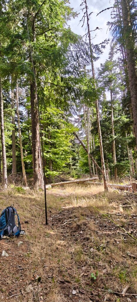
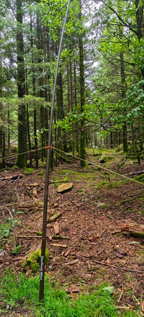
Brown fibreglass antenna pole set up in a forest.
Antenna in the forest
Loading map…
Distance
—
Elevation gain
—
Elevation loss
—
Max elevation
—
Waypoints
—
Elevation profile

La Croix Hanzo (FL/VO-020)

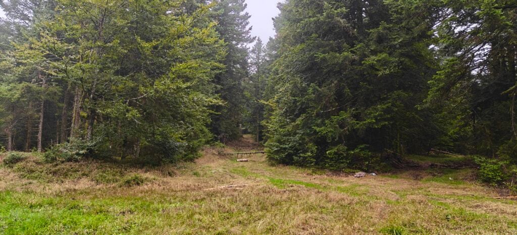
The route to La Croix Hanzo starts from just a few hundred meters down the road from the previous two hills. From the layby, you walk along the Route Forestière du Pré Petitjean (which is largely tarmaced) to the Route Forestièe du Planeau (which isn’t). This then brings you out to a clearing with a small path where trees appear to have been felled across the path to discourage access. There is a well-trodden route where plenty of people have walked around these obstacles, however, and with no signage indicating that access wasn’t permitted, I pressed on.

A clearing in the forest. Two grass paths are in front of us, one of which has small trees across it.
Trees seemed to have been felled across the path to discourage access but it wasn’t actually forbidden

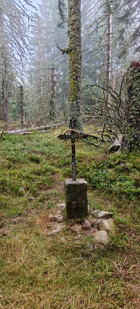
From here, the path became a little steeper and more rocky, but still perfectly easy until you reach the top, where Hanzo’s cross is very visible at the summit.

Small iron cross on a concrete base surrounded by forest undergrowth.
Hanzo’s cross, after which the summit is named

I made another 18 QSOs on 30m CW from here before returning to the campsite. The ascent took just under an hour, comprising of about 3.5km for just under 300m ascent. The descent took me about 40 minutes.

Loading map…
Distance
—
Elevation gain
—
Elevation loss
—
Max elevation
—
Waypoints
—
Elevation profile

I had hoped to fit in another hill today but I wasn’t feeling great and the weather had been quite wet at times, so I needed to dry off. It had still been a 30 point day as all three summits were worth 10 SOTA points, and I had plans to do four more new summits tomorrow.