Brecon Beacons SOTAs: Pen Y Fan and Mynydd Llangorse

Having stayed the night at the very comfortable Cwmdu Campsite (only ten minutes’ drive from Mynydd Troed – where I  finished yesterday – and Mynydd Llangorse), I awoke to a very wet pitch. It had rained heavily all night, and I was aware that that rain would have fallen as snow on the summits.

I decided to wait for the rain to stop (which luckily it did, at around 9:30am), before I set out, meaning that I already started the day behind my planned schedule.

GW/SW-001 Pen Y Fan

As its numbering suggests, Pen Y Fan is the highest of the Brecon Beacons, at 886m, scoring 8 points for SOTA. The main carpark is about a 40 minute drive from Cwmdu and, despite the weather, this substantial layby was approaching capacity by the time I got there. This is such a popular walk that there were easily hundreds of people going up with me.
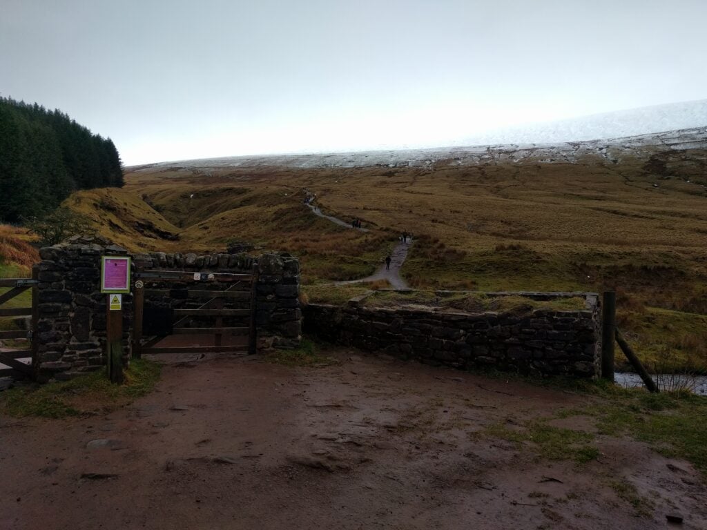
The start of the path up Pen Y Fan

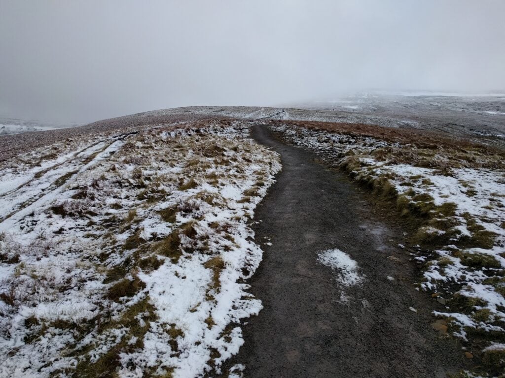
This was as well, because the weather had made the normally easy, and well-maintained, National Trust footpath a bit challenging. Those in trainers were certainly slipping a lot and I was very glad to be wearing YakTrax – something that had been recommended to me only a few days before, and they were brilliant!
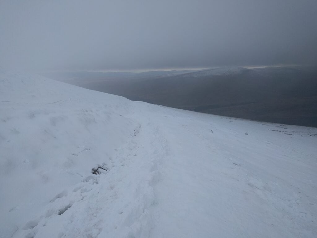
The upper part of the path under snow

The photo below is the only one I managed to get with nobody else in it. In practice, I was on the hill with lots of other people, and this, combined with the wind chill, made operating a challenge. I started by calling on 2m, but could only manage 2 QSOs there. So, it was time for HF: I set up my SOTA pole at half-height, leaving the ends of my 30m dipole dangling, knowing I would be weak, but hoping that would be adequate to get the magic four QSOs total. It was, and after completing with another 4 people on 30m, I got off the hill as soon as possible.
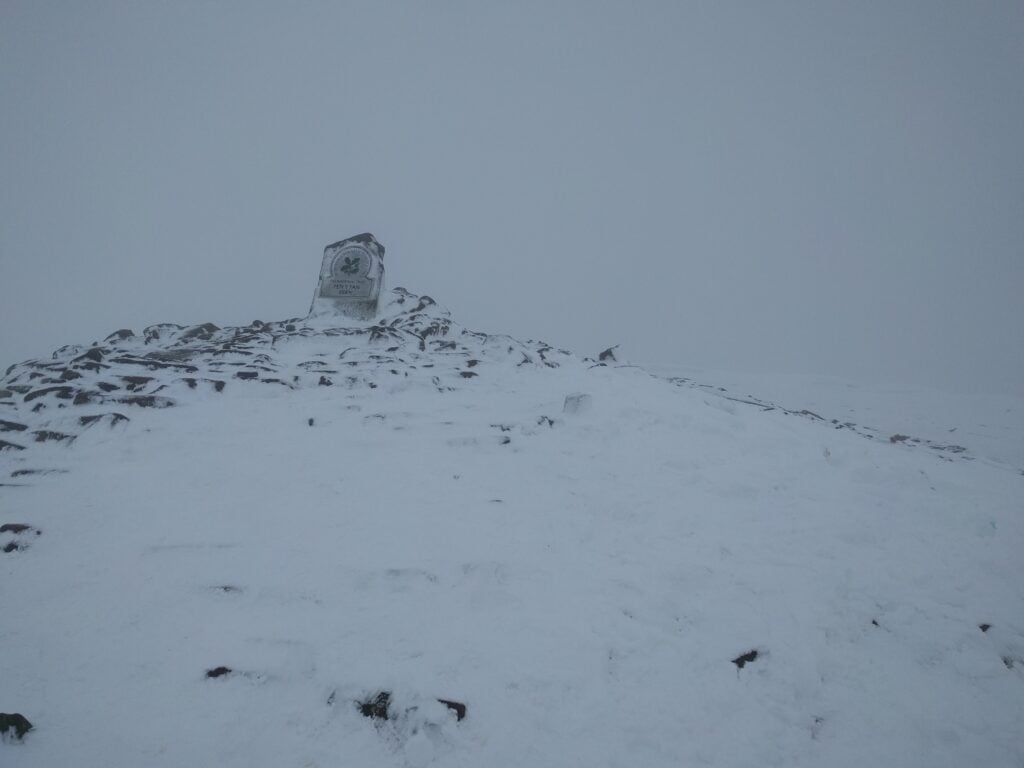
Pen Y Fan summit

The ascent took 1h25 and the descent took about 1h10. The ascent is 440m over a 2 mile path.

I had planned to activate the other SOTA qualifying hill in this valley, Fan Fawr (GW/SW-005) on the same day, but looking across at it from Pen Y Fan, it clearly had as much snow on it. I didn’t know Fan Fawr at all, but knew there would not be such a good, distinguishable path, so I opted to leave that one for another day, and to head instead back towards the campsite, so I could activate Mynydd Llangorse, which I hadn’t done yesterday.

GW/SW-015 Mynydd Llangorse

And so it was that I found myself parking in the same place as 24 hours previously, but this time to head up in the other direction to the 2-point Mynydd Llangorse.

From the road, it looks as though the two Mynydds are about the same height and steepness as each other, but this is an illusion. Mynydd Llangorse does rise sharply at first but it isn’t so steep as to need those slippery footholes that I’d struggled with yesterday. Instead, the path winds around the fort at NGR SO160278 (though you wouldn’t know it was a fort without the map’s indication – too little remains for a non-expert to tell), and soon levels out to another flat-topped hill with some lovely views looking back towards Pen Y Fan.
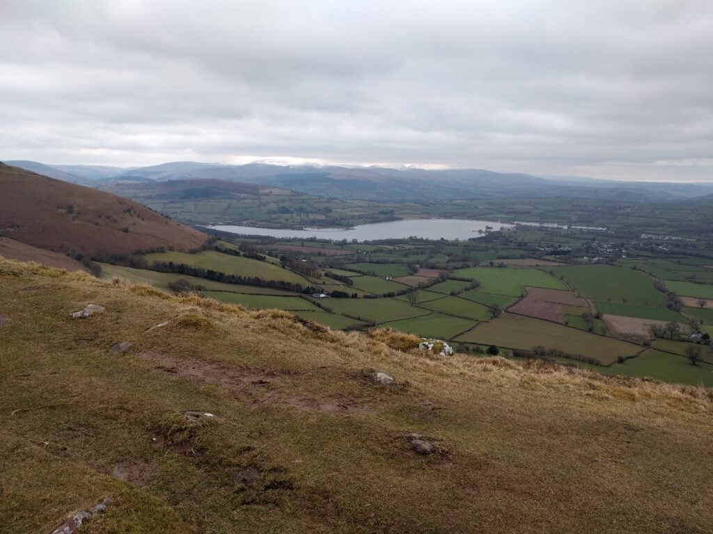
View from the flat top of Mynydd Llangorse

The flat top means there’s a large activation zone for SOTA and I set up a little away from the summit, instead choosing the Cairn at the point where two paths cross at SO1592567. In doing so, there was more space to set up my dipole without having to wade through too much heather.

With no rain, and without the snow covering at this altitude, this was a much more pleasant activation, and I took my time making the 10 QSOs on 30m, before heading back to the car. The ascent took about 40 minutes, and the descent about 30 minutes.
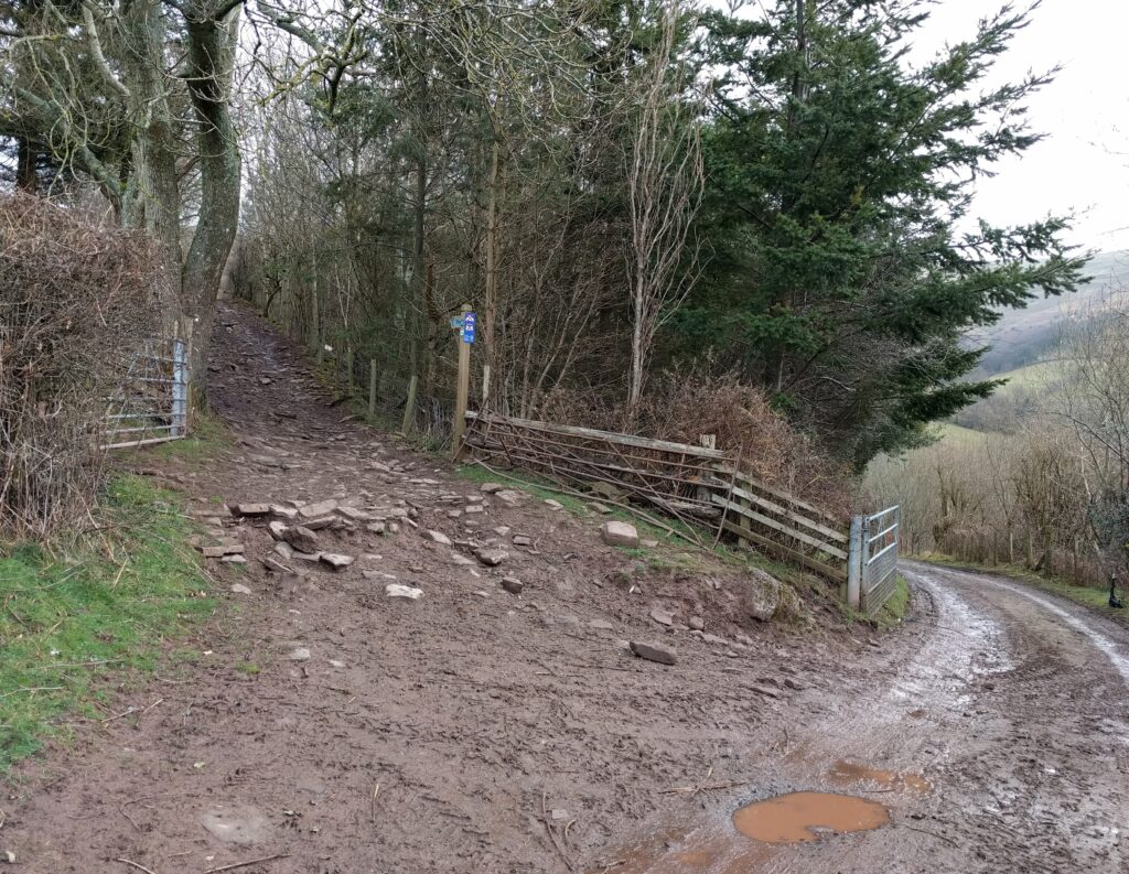
Brecon Beacons SOTAs: Waun Fach and Mynydd Troed

I spent the Easter weekend in Wales operating from some of the SOTA summits in the Brecon Beacons. After staying in Gloucester overnight on Maundy Thursday, I started Good Friday by heading up Waun Fach.

GW/SW-002 Waun Fach

I approached Waun Fach from the South-West, starting from the crossroads at NGR SO190267, just above Waun Fach village. This is up a very steep, narrow road off the A479 – the sort you think you wouldn’t want to meet anyone on. Once at the crossroads, though, there is plenty of car parking space.

From here, you walk up the road to a well-made path, and then onto the open moorland, where you follow the obvious paths straight ahead. This isn’t a very challenging walk, the path rises but not too steeply, and you eventually come up onto the flat, and often boggy, top.

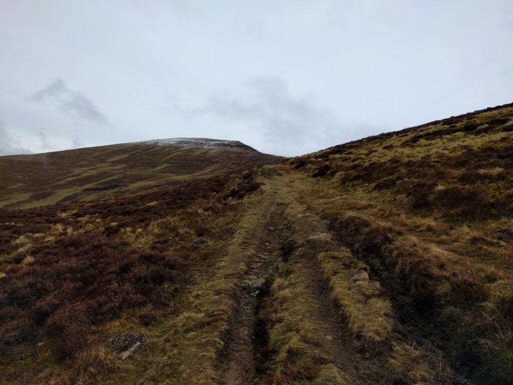
Start of the Waun Fach path
Moorland ascent of Waun Fach

The ascent took about 1h45 for about 2000ft, and the descent took about 1h15. The only slightly challenging bit was at Pen Trumau (NGR SO203292), where I was tempted to avoid having to climb the up onto the ridge. You do need to just go for it, continuing on the path up the short, and slightly steep bit onto the crest of Pen Trumau. There isn’t a way to skirt round it, but it’s less hard than it looked.

Passing about the 700m ASL contour line, the ground became frosty and then covered in a thin layer of lying snow, but this is also where you pick up a nice gravel path taking you to the summit of Waun Fach. There isn’t much to see on the summit though. It’s a flat top with no particular features.

Approaching Waun Fach summit

As you can see from the photos, it was quite cold today, so I didn’t stay too long on the summit, but enough to comfortably activate the mountain on 30m CW and 2m FM. (8 QSOs on 10MHz + 3 QSOs on 145Mhz).

GW/SW-009 Mynydd Troed

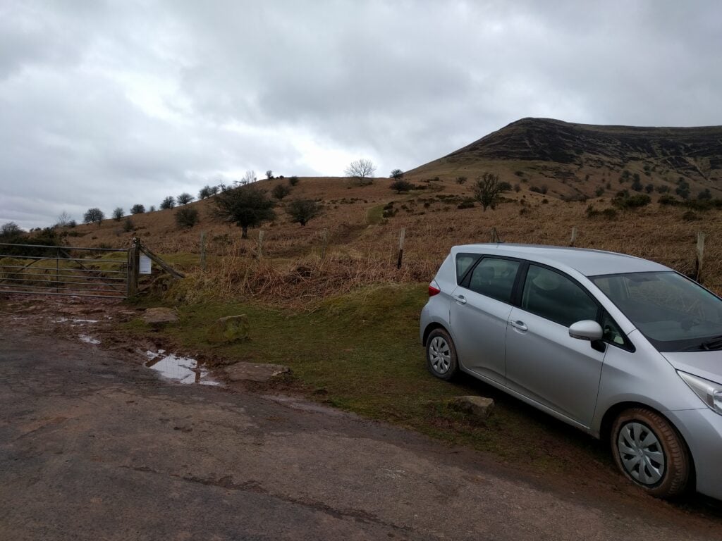
From Waun Fach, it’s only about a 15 minute drive to the shoulder between Mynydd Troed and Mynydd Llangorse, just the other side of the valley at NGR SO161282. It’s worth noting that, approaching from the south, there’s a gate across the public highway (SO169273). This took me aback at first, but it’s perfectly fine to just open it and close it after you again. Parking is on the shoulder itself, where there’s space for about 5 cars at SO160283.

The 4-point Mynydd Troed is a steep climb, taking only about 45 minutes. It starts with a simple grassy path, but the steepest point turns to steps cut into the grass, which today were full of mud and quite slippery on the descent. Just when you think you’ve reached the top, the path turns around the side of the hill, as a final sting in the tail.

Mynydd Troed from the shoulder between Mynydd Troed and Mynydd Llangorse

The top is nice and flat, like most of the Beacons, giving lots of room to operate, and this isn’t particularly well-frequented – most people seem to go up Mynydd Llangorse instead, as it’s the easier walk. Indeed, I’d planned to head up Llangorse, a SOTA 2-pointer, immediately after Troed, but with heavy rain looming and a tent to pitch, I decided to do the activation quickly and get off the hill. I made only 7 QSOs on 30m and 1 on 2m.

Rosmalen Radio Rally 2018

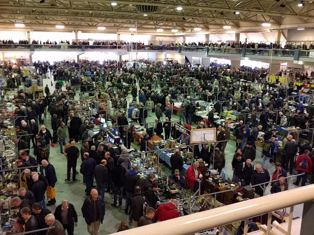
This weekend saw a large group (17 of us) from the Camb-Hams and various friends going to the Dutch national radio flea market at Rosmalen in central Holland.

I haven’t been for four years, but this is always a great event. Visitor numbers were notably down this year, and a few of the usual traders weren’t there either. There was also a lot more vintage and military radios than we remembered in the past (if you were a set designer kitting out a 1950s house for a period TV drama, you’d have had a field day!) and a little less test gear, but there were still purchases to be made!

View over the balcony at part of the National Radio Flea Market in Rosmalen Autotron

Personally, my main purchase was a 3-element HB9CV antenna for 2m, which I’m planning to compare against the SOTA Beam for hilltop use. It’s nice and lightweight, and packs down small, if a little fragile.

For people in the east of England, this is a really easy event to get to. We take the overnight ferry from Harwich after work on the Friday evening (having breakfast on board on Saturday morning). You can then drive from Hook of Holland to the Autotron within just a little over an hour, arriving only shortly after the event has opened. The return journey is also an overnight crossing, arriving at breakfast time on the Sunday, so no hotels are required.

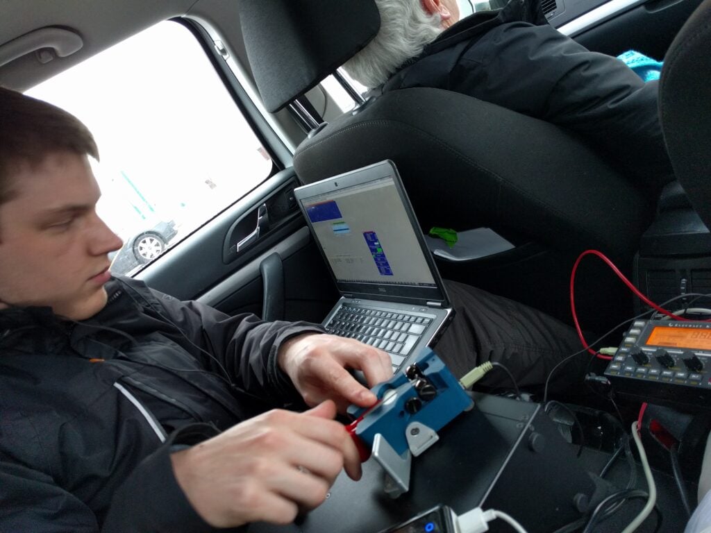
As we had a little time to kill before our return crossing, a few of us headed to Goeree Overflakkee, an island just around the coast from Hook of Holland. The island counts for EU-146 for IOTA but it is an island you can easily drive onto. Some of the group – not including myself – operated in the RDXC contest from the beach just outside the village of Ouddorp, just down the road from a certain military radio establishment.

Dan PA/M0WUT operating CW in the Russian DX Contest, parked at the beach while waiting for the ferry.

The only other thing to mention is the weather. We didn’t have any problems caused by it but it was bitterly cold with short snow flurries and ground temperatures of -3c (colder with wind chill). There was even ice on the shoreline at Ouddorp. The snow was being brought in by some very keen easterly winds but amazingly this didn’t cause a significant swell for our return crossing.

Arkwright Scholar’s day at Bletchley Park

The Arkwright Scholarships are awarded to 16 year olds who show promise to be future engineers, and are designed to help them through their sixth-form studies.

As part of this, the current scholars had an opportunity to visit the Radio Society of Great Britain (RSGB)’s National Radio Centre at the historic Bletchley Park today, where a group of volunteers from the Radio Society of Great Britain / Radio Communications Foundation administered the practical and written amateur radio Foundation licence examination.

The National Radio Centre at Bletchley Park

I had the privilege of being asked to help run the VHF/UHF QSOs elements of the course, together with James 2E0JPMfrom the RSGB Youth Committee.

All of the scholars were highly motivated and really interested in the advantages amateur radio can bring to careers in engineering, so it was a pleasure to be able to assist them.

ARRL DX SSB at GB2GP

Last summer, I spent a week at the UK Scout HQ, Gilwell Park near London, for the YOTA event.

This weekend, I had the opportunity to return to the shack to help operate GB2GP – the permanent special event station for the Scouts – in the ARRL DX Contest.

It was a really fun weekend, even if conditions were bad. It was so bad that at one point, once 40m closed on the morning, there was almost 2 hours with no QSO before 20m opened, during which I had just one QSO. There were very few times when more than one band once open to the US/Canada at once, but I did get a decent run on 15m on the Sunday lunchtime, which helped.

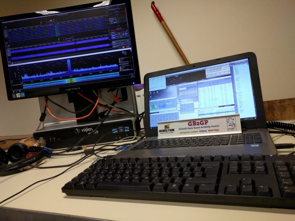
The operating position at GB2GP

We were entering in the multi-two category, as a tactical measure, but we actually operated with only one radio. This was my first time using a Flex SDR in earnest and I seemed to get used to it quite well. Also new for me was N1MM+, which also seemed to perform once I had got used to it (though I’ll probably stick with Win-Test / DXLog.net for most of my own contesting).

The other novelty for me was this was my first contest using a Beverage antenna for the lower bands, and particularly 80m. This seemed to work really well, particularly given the amount of noise the transmitting antenna was subjected to, emanating from the nearby Brookmans Park broadcast transmitters.

Final QSO total was just over 1000 QSOs. While that might not sound fantastic, being a training station, a large part of the focus was on having a mix of skills there, from a couple of us who were relatively experienced contesters, through to one person who hadn’t been on HF in years.

Most importantly, I had a good time and it was great to work with a different group of enthusiastic people. Thanks to the GB2GP team for having me!

Wicklow Mountains SOTA Trip – Day 3: Sorrel Hill and Saggart Hill

This post is part 3 of a series of three posts about my time doing SOTA in the Wicklow mountains. For part 2, see Wicklow Mountains SOTA Trip – Day 2: Djouce and Trooperstown Hill.

EI/IE-014 Sorrel Hill

After leaving my B&B in Laragh, it was a 50 minute drive in frosty conditions via the picturesque lakes outside Blessington up to Sorrel Hill, a small dimple on the landscape which is nevertheless worth 6 points plus winter bonus. The road to the car park at Sorrel Hill is single track, but the grass verges mean there’s plenty of places to pass. The car park itself was quite busy for a cold, crisp morning, but most of the people were heading on the path south towards Black Hill (not a SOTA), rather than heading north up Sorrel Hill.

The path itself is an obvious grass track straight up the side of the hill, and in no way steep. The only thing that made the walking difficult today was the frozen mud and puddles, which made the surface uneven. The ascent took about 40 minutes, and the descent (by which time the frozen mud was starting to thaw) took just over 20 minutes.

The grassy path up Sorrel Hill, with the car park just visible at the foot

At the top, I set up in the shelter of the cairn as it was nice and quiet and, now that the haze of the last couple days had cleared, there were some very nice views. Don’t let the blue sky deceive you, though – the wind was still cold and strong!

The view to the west from the top of Sorrel Hill
Poulaphouca Reservoir, near Blessington, seen from the climb up Sorrel Hill

Overall, this is a lovely hill and very easy for six points. I made 20 30m CW QSOs from here and, out of the wind, it was a very nice activation. It was quite surprising that it had only been activated 7 times before.

EI/IE-044 Saggart Hill

If it was surprising that Sorrel Hill was so little activated, Saggart Hill is even more of a mystery. This was the fourth ever activation of this hill, despite the fact that it is located very close to the N81, the main road heading south west from the M50 (Dublin’s ringroad).

To be fair, I wasn’t originally planning to activate this little two-pointer either but with some time to kill before my flight, it wasn’t a great detour, and I’m glad I did it. It’s only about 15 minutes’ drive from Sorrel Hill and about 40 minutes from Dublin Airport.

There’s a steep and narrow, but perfectly fine, road leading from the N71 to a barrier at entrance to the woodland on the hill, and enough parking space for a few cars to park on the side of the road. This was quite a popular place on a sunny winter’s afternoon, and I was lucky to find a suitable spot.

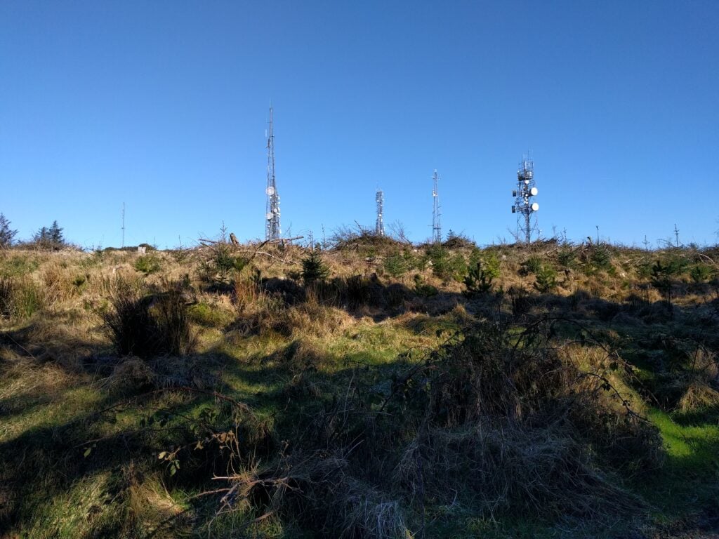
Getting to the top of the hill is easy. It’s a 10 minute walk up a simple track from the barrier through the woodland to the top of the hill which is covered in masts with various microwave dishes. One other website describes the hill as a ‘porcupine’ and that’s fairly apt – not all of them are visible in the picture below.

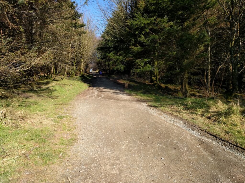
The track through the woodland on Saggart Hill
Some of the masts on the top of Saggart Hill

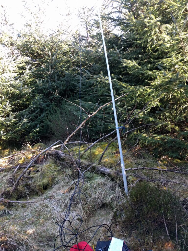
I found a quiet spot in a small clearing in the woodland to set up my own (fibreglass) mast. Given a lack of both space and time before my flight, I didn’t bother properly setting up the dipole and let the legs hang much more loose and lower than I would normally. As this was an unplanned bonus hill, I decided to accept a poor SWR and weaker signals if I could just get the four QSOs I needed for the points.

In the end, I was pleasantly surprised that the location wasn’t at all noisy on 30m (a particular surprise given that I was near an overhead powerline feeding the masts) and I managed 14 QSOs.

My quick setup in the woods on Saggart Hill

This brought me to the end of the three day trip around the Wicklow Hills, with 54 SOTA points (including Winter Bonuses) and 84 QSOs in the bag.

My WordPress Blog